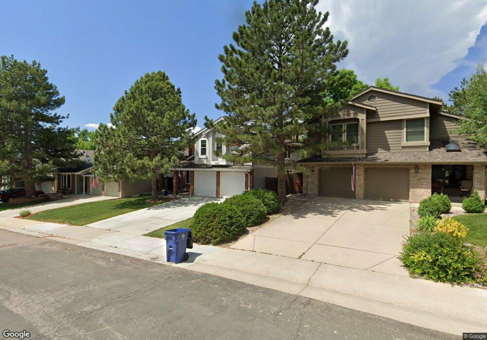
10942 Main Range Trail Littleton, CO 80127
Ken Caryl Ranch NeighborhoodEstimated Value: $721,000 - $812,000
4
Beds
3
Baths
2,698
Sq Ft
$285/Sq Ft
Est. Value
About This Home
This home is located at 10942 Main Range Trail, Littleton, CO 80127 and is currently estimated at $770,115, approximately $285 per square foot. 10942 Main Range Trail is a home located in Jefferson County with nearby schools including Shaffer Elementary School, Falcon Bluffs Middle School, and Chatfield High School.
Ownership History
Date
Name
Owned For
Owner Type
Purchase Details
Closed on
Jun 4, 2020
Sold by
Port Heath Allen and Port Kelly Lynn
Bought by
Trebing William Otis and Daoust Jan Morgan
Current Estimated Value
Home Financials for this Owner
Home Financials are based on the most recent Mortgage that was taken out on this home.
Original Mortgage
$228,500
Outstanding Balance
$160,999
Interest Rate
3.3%
Mortgage Type
New Conventional
Estimated Equity
$609,116
Purchase Details
Closed on
May 9, 2012
Sold by
Wolf Tavi and Mcintire Erica
Bought by
Port Heath Allen and Port Kelly Lynn
Home Financials for this Owner
Home Financials are based on the most recent Mortgage that was taken out on this home.
Original Mortgage
$273,600
Interest Rate
4.02%
Mortgage Type
New Conventional
Purchase Details
Closed on
Jul 28, 2005
Sold by
The Kathy J Mondragon Living Trust
Bought by
Wolf Tavi and Mcintire Erica
Home Financials for this Owner
Home Financials are based on the most recent Mortgage that was taken out on this home.
Original Mortgage
$282,400
Interest Rate
5.37%
Mortgage Type
Purchase Money Mortgage
Purchase Details
Closed on
Jul 8, 2004
Sold by
Mondragon E Richard and Mondragon Kathy J
Bought by
The Kathy J Mondragon Living Trust
Purchase Details
Closed on
Jul 17, 2002
Sold by
Mondragon Richard
Bought by
Mondragon E Richard and Mondragon Kathy J
Home Financials for this Owner
Home Financials are based on the most recent Mortgage that was taken out on this home.
Original Mortgage
$238,000
Interest Rate
5.3%
Purchase Details
Closed on
Jul 29, 1998
Sold by
Neese William G and Neese Rose E
Bought by
Mondragon E Richard
Home Financials for this Owner
Home Financials are based on the most recent Mortgage that was taken out on this home.
Original Mortgage
$204,300
Interest Rate
6.95%
Create a Home Valuation Report for This Property
The Home Valuation Report is an in-depth analysis detailing your home's value as well as a comparison with similar homes in the area
Home Values in the Area
Average Home Value in this Area
Purchase History
| Date | Buyer | Sale Price | Title Company |
|---|---|---|---|
| Trebing William Otis | $578,500 | Heritage Title Company | |
| The William O Trebing Jr Living Trust | -- | None Available | |
| Port Heath Allen | $342,000 | Land Title Guarantee Company | |
| Wolf Tavi | $353,000 | Security Title | |
| The Kathy J Mondragon Living Trust | -- | -- | |
| Mondragon E Richard | -- | Title Services | |
| Mondragon E Richard | $227,000 | -- |
Source: Public Records
Mortgage History
| Date | Status | Borrower | Loan Amount |
|---|---|---|---|
| Open | Trebing William Otis | $228,500 | |
| Previous Owner | Port Heath Allen | $273,600 | |
| Previous Owner | Wolf Tavi | $282,400 | |
| Previous Owner | Mondragon E Richard | $238,000 | |
| Previous Owner | Mondragon E Richard | $204,300 |
Source: Public Records
Tax History
| Year | Tax Paid | Tax Assessment Tax Assessment Total Assessment is a certain percentage of the fair market value that is determined by local assessors to be the total taxable value of land and additions on the property. | Land | Improvement |
|---|---|---|---|---|
| 2024 | $4,711 | $44,003 | $9,590 | $34,413 |
| 2023 | $4,711 | $44,003 | $9,590 | $34,413 |
| 2022 | $3,994 | $36,486 | $7,841 | $28,645 |
| 2021 | $4,055 | $37,537 | $8,067 | $29,470 |
| 2020 | $3,611 | $33,527 | $6,107 | $27,420 |
| 2019 | $3,567 | $33,527 | $6,107 | $27,420 |
| 2018 | $3,266 | $29,639 | $6,769 | $22,870 |
| 2017 | $3,037 | $29,639 | $6,769 | $22,870 |
| 2016 | $3,192 | $29,483 | $8,429 | $21,054 |
| 2015 | $2,927 | $29,483 | $8,429 | $21,054 |
| 2014 | $2,927 | $25,471 | $6,685 | $18,786 |
Source: Public Records
Map
Nearby Homes
- 10791 Trailrider Pass
- 8140 S Storm King Peak
- 10866 W Half Moon Pass
- 10463 W Turtle Mountain
- 11446 San Joaquin Ridge
- 8221 S San Juan Range Rd
- 7580 S Lost Ranger Peak
- 11104 W San Juan Range Rd
- 11369 W Park Range Rd
- 10550 W Raspberry Mountain
- 7448 S Quail Cir Unit 2214
- 8077 S Vermejo Peak
- 7776 S Crestone Peak
- 7433 S Quail Cir Unit 1913
- 7463 S Quail Cir Unit 312
- 7473 S Quail Cir Unit 521
- 7423 S Quail Cir Unit 1535
- 7422 S Quail Cir Unit 1615
- 11804 Elk Head Range Rd
- 10351 Red Mountain E
- 10932 Main Range Trail
- 10952 Main Range Trail
- 7708 Gunsight Pass
- 10922 Main Range Trail
- 7714 Gunsight Pass
- 7760 Crystal Peak
- 10912 Main Range Trail
- 10931 Main Range Trail
- 10941 Main Range Trail
- 10921 Main Range Trail
- 10962 Main Range Trail
- 7724 Gunsight Pass
- 7750 Crystal Peak
- 10951 Main Range Trail
- 10911 Main Range Trail
- 7770 Crystal Peak
- 10902 Main Range Trail
- 7707 Gunsight Pass
- 7728 Gunsight Pass
- 10972 Main Range Trail
Your Personal Tour Guide
Ask me questions while you tour the home.