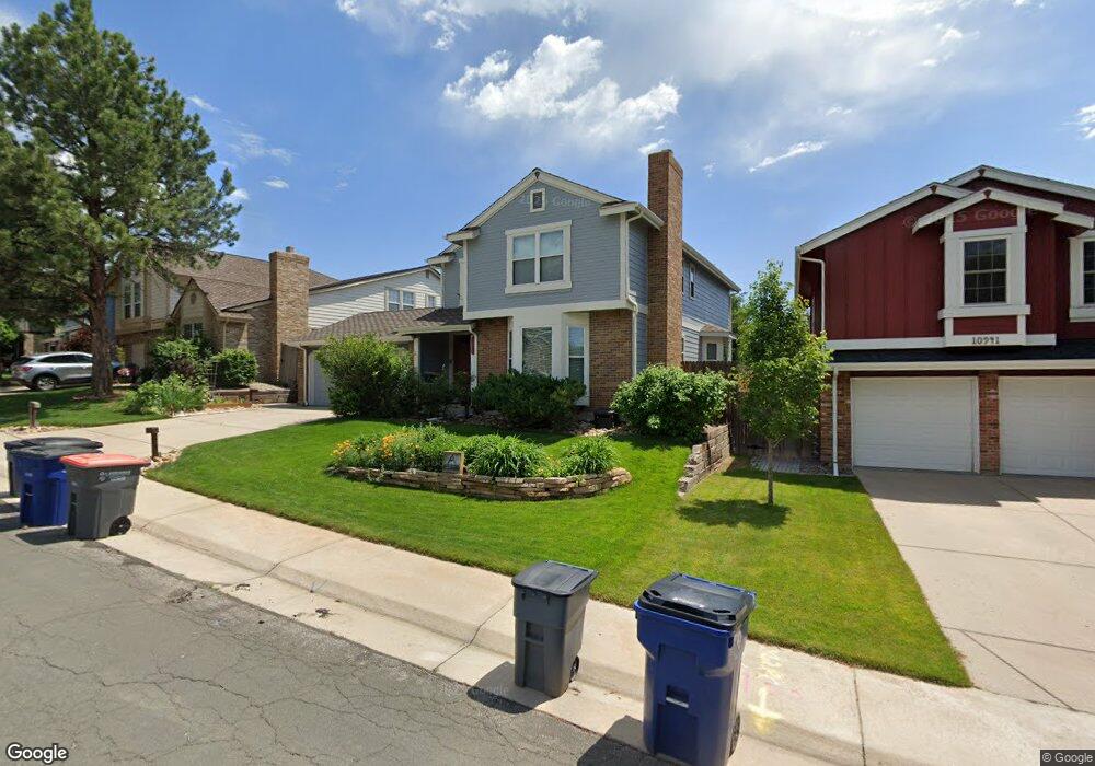
10951 Main Range Trail Littleton, CO 80127
Estimated Value: $685,965 - $763,000
3
Beds
5
Baths
2,092
Sq Ft
$354/Sq Ft
Est. Value
About This Home
This home is located at 10951 Main Range Trail, Littleton, CO 80127 and is currently estimated at $741,241, approximately $354 per square foot. 10951 Main Range Trail is a home located in Jefferson County with nearby schools including Shaffer Elementary School, Falcon Bluffs Middle School, and Chatfield High School.
Ownership History
Date
Name
Owned For
Owner Type
Purchase Details
Closed on
Apr 7, 2023
Sold by
Hlewko E David H
Bought by
E David H Hlewko Living Trust
Current Estimated Value
Create a Home Valuation Report for This Property
The Home Valuation Report is an in-depth analysis detailing your home's value as well as a comparison with similar homes in the area
Home Values in the Area
Average Home Value in this Area
Purchase History
| Date | Buyer | Sale Price | Title Company |
|---|---|---|---|
| E David H Hlewko Living Trust | -- | None Listed On Document |
Source: Public Records
Tax History Compared to Growth
Tax History
| Year | Tax Paid | Tax Assessment Tax Assessment Total Assessment is a certain percentage of the fair market value that is determined by local assessors to be the total taxable value of land and additions on the property. | Land | Improvement |
|---|---|---|---|---|
| 2024 | $3,242 | $36,985 | $10,126 | $26,859 |
| 2023 | $3,242 | $36,985 | $10,126 | $26,859 |
| 2022 | $2,883 | $33,286 | $8,244 | $25,042 |
| 2021 | $2,927 | $34,244 | $8,481 | $25,763 |
| 2020 | $3,279 | $30,448 | $6,609 | $23,839 |
| 2019 | $3,240 | $30,448 | $6,609 | $23,839 |
| 2018 | $2,893 | $26,261 | $6,867 | $19,394 |
| 2017 | $2,691 | $26,261 | $6,867 | $19,394 |
| 2016 | $2,866 | $26,474 | $8,429 | $18,045 |
| 2015 | $2,538 | $26,474 | $8,429 | $18,045 |
| 2014 | $2,538 | $22,088 | $6,685 | $15,403 |
Source: Public Records
Map
Nearby Homes
- 7825 Sand Mountain
- 11235 San Joaquin Ridge
- 10645 W Sundance Mountain
- 8140 S Storm King Peak
- 8196 S Spring Creek Pass
- 10866 W Half Moon Pass
- 7646 S Bear Mountain
- 10685 W Apishapa Pass
- 10606 Park Mountain W
- 7462 S Quail Cir Unit 426
- 11673 Elk Head Range Rd
- 7433 S Quail Cir Unit 1924
- 10328 W Crestone Mountain
- 11710 Elk Head Range Rd
- 11703 Elk Head Range Rd
- 7413 S Quail Cir Unit 1422
- 7413 S Quail Cir Unit 1435
- 11872 Elk Head Range Rd
- 10371 W Indore Dr
- 8242 S Pierson St
- 10941 Main Range Trail
- 10971 Main Range Trail
- 10931 Main Range Trail
- 10921 Main Range Trail
- 10981 Main Range Trail
- 10962 Main Range Trail
- 10952 Main Range Trail
- 10972 Main Range Trail
- 10942 Main Range Trail
- 10695 W Devils Head
- 10911 Main Range Trail
- 10706 W Devils Head
- 10932 Main Range Trail
- 10982 Main Range Trail
- 7707 Gunsight Pass
- 7708 Gunsight Pass
- 10922 Main Range Trail
- 10901 Main Range Trail
- 7658 Snowmass Mountain
- 10675 W Devils Head