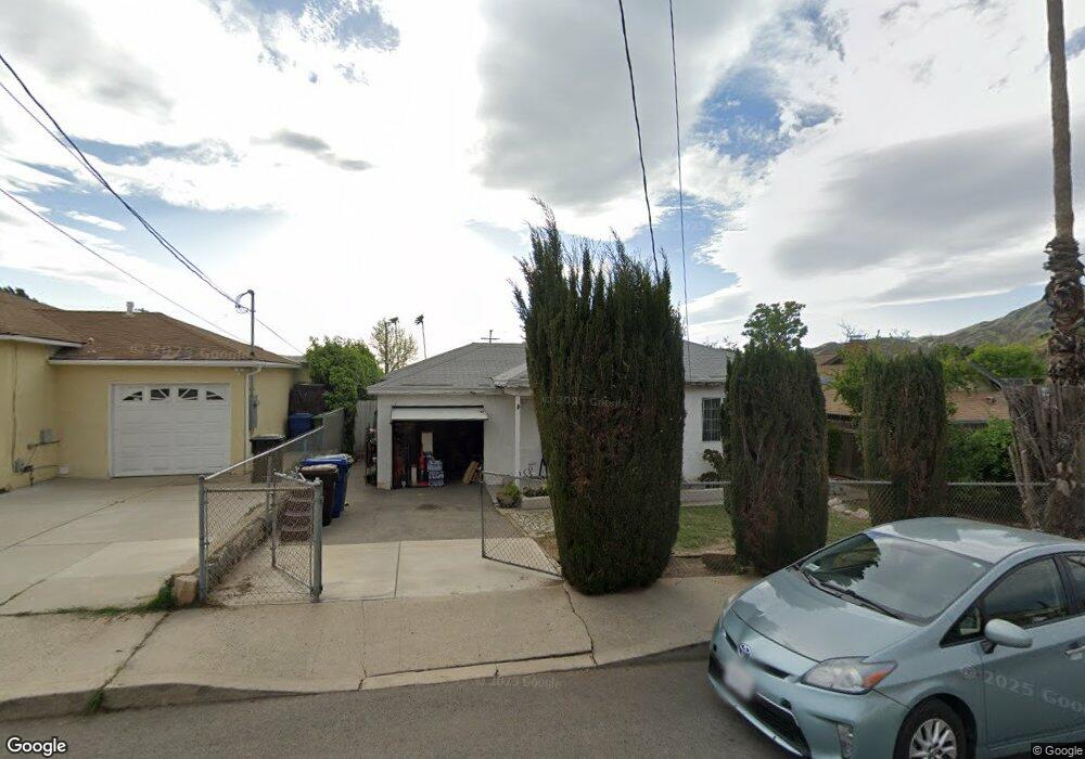
10961 Leolang Ave Sunland, CA 91040
Sunland NeighborhoodEstimated Value: $787,126 - $1,032,000
4
Beds
3
Baths
1,300
Sq Ft
$688/Sq Ft
Est. Value
About This Home
This home is located at 10961 Leolang Ave, Sunland, CA 91040 and is currently estimated at $894,532, approximately $688 per square foot. 10961 Leolang Ave is a home located in Los Angeles County with nearby schools including Mt. Gleason Middle School, Verdugo Hills Senior High School, and Plainview Academic Charter Academy.
Ownership History
Date
Name
Owned For
Owner Type
Purchase Details
Closed on
Sep 10, 2018
Sold by
Amadian Sooren and Amadian Karmen
Bought by
Amadian Sooren and Amadian Karmen
Current Estimated Value
Purchase Details
Closed on
Oct 19, 2017
Sold by
Amdian Sooren
Bought by
Amadian Sooren and Amadian Karmen
Purchase Details
Closed on
Jun 25, 2015
Sold by
Amadian Sooren
Bought by
Amadian Family Trust
Create a Home Valuation Report for This Property
The Home Valuation Report is an in-depth analysis detailing your home's value as well as a comparison with similar homes in the area
Home Values in the Area
Average Home Value in this Area
Purchase History
| Date | Buyer | Sale Price | Title Company |
|---|---|---|---|
| Amadian Sooren | -- | Accommodation | |
| Amadian Sooren | -- | None Available | |
| Amadian Family Trust | -- | None Available |
Source: Public Records
Tax History Compared to Growth
Tax History
| Year | Tax Paid | Tax Assessment Tax Assessment Total Assessment is a certain percentage of the fair market value that is determined by local assessors to be the total taxable value of land and additions on the property. | Land | Improvement |
|---|---|---|---|---|
| 2025 | $4,651 | $374,008 | $184,880 | $189,128 |
| 2024 | $4,651 | $366,675 | $181,255 | $185,420 |
| 2023 | $4,564 | $359,486 | $177,701 | $181,785 |
| 2022 | $4,354 | $352,438 | $174,217 | $178,221 |
| 2021 | $4,297 | $345,528 | $170,801 | $174,727 |
| 2019 | $4,171 | $335,282 | $165,736 | $169,546 |
| 2018 | $4,084 | $328,709 | $162,487 | $166,222 |
| 2017 | $3,993 | $322,264 | $159,301 | $162,963 |
| 2016 | $3,895 | $315,946 | $156,178 | $159,768 |
| 2015 | $3,839 | $294,757 | $153,833 | $140,924 |
| 2014 | -- | $288,984 | $150,820 | $138,164 |
Source: Public Records
Map
Nearby Homes
- 8110 Brownstone St
- 7848 Forsythe St
- 0 Rim Canyon Rd Unit SR25228396
- 7815 Denivelle Rd
- 7844 Rim Canyon Rd
- 7755 Forsythe St
- 11034 Scoville Ave
- 10623 Woodward Ave
- 7851 Fenwick St
- 10917 Tujunga Canyon Blvd
- 12159 Oro Vista Ave
- 8230 Hillrose St
- 11009 Quill Ave
- 7541 Hillrose St
- 10529 Mount Gleason Ave
- 11458 Garret Place
- 10704 Oro Vista Ave
- 11040 Renaissance Dr
- 11521 Dellmont Dr
- 10554 Plainview Ave
- 11001 Leolang Ave
- 10955 Leolang Ave
- 11005 Leolang Ave
- 10951 Leolang Ave
- 10960 Woodward Ave
- 10956 Woodward Ave
- 11009 Leolang Ave
- 11002 Woodward Ave
- 11006 Woodward Ave
- 10950 Woodward Ave
- 10960 Leolang Ave
- 10945 Leolang Ave
- 11002 Leolang Ave
- 10954 Leolang Ave
- 11013 Leolang Ave
- 11010 Woodward Ave
- 11006 Leolang Ave
- 10950 Leolang Ave
- 10946 Woodward Ave
- 11010 Leolang Ave