10992 Main Range Trail Littleton, CO 80127
Ken Caryl Ranch NeighborhoodEstimated Value: $736,000 - $885,000
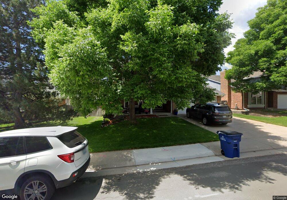
About This Home
This home is located at 10992 Main Range Trail, Littleton, CO 80127 and is currently estimated at $800,626, approximately $318 per square foot. 10992 Main Range Trail is a home located in Jefferson County with nearby schools including Shaffer Elementary School, Falcon Bluffs Middle School, and Chatfield High School.
Ownership History
We collect this data history from publicly available records. To have your information removed, we recommend requesting removal directly through your county’s website.
Purchase Details
Purchase Details
Home Financials for this Owner
Home Financials are based on the most recent Mortgage that was taken out on this home.Purchase Details
Home Financials for this Owner
Home Financials are based on the most recent Mortgage that was taken out on this home.Home Values in the Area
Average Home Value in this Area
Purchase History
We collect this data history from publicly available records. To have your information removed, we recommend requesting removal directly through your county’s website.
| Date | Buyer | Sale Price | Title Company |
|---|---|---|---|
| -- | None Listed On Document | ||
| -- | None Available | ||
| $362,000 | Fahtco |
Mortgage History
We collect this data history from publicly available records. To have your information removed, we recommend requesting removal directly through your county’s website.
| Date | Status | Borrower | Loan Amount |
|---|---|---|---|
| Previous Owner | $50,000 | ||
| Previous Owner | $217,200 |
Tax History
We collect this data history from publicly available records. To have your information removed, we recommend requesting removal directly through your county’s website.
| Year | Tax Paid | Tax Assessment Tax Assessment Total Assessment is a certain percentage of the fair market value that is determined by local assessors to be the total taxable value of land and additions on the property. | Land | Improvement |
|---|---|---|---|---|
| 2025 | $5,139 | $46,621 | $10,561 | $36,060 |
| 2024 | $4,852 | $45,324 | $10,050 | $35,274 |
| 2023 | $4,852 | $45,324 | $10,050 | $35,274 |
| 2022 | $4,160 | $37,999 | $8,217 | $29,782 |
| 2021 | $4,223 | $39,092 | $8,453 | $30,639 |
| 2020 | $3,739 | $34,724 | $6,400 | $28,324 |
| 2019 | $3,695 | $34,724 | $6,400 | $28,324 |
| 2018 | $3,437 | $31,193 | $7,093 | $24,100 |
| 2017 | $3,196 | $31,193 | $7,093 | $24,100 |
| 2016 | $3,313 | $30,598 | $8,429 | $22,169 |
| 2015 | $2,978 | $30,598 | $8,429 | $22,169 |
| 2014 | $2,978 | $25,916 | $6,685 | $19,231 |
Map
- 7643 Sunshine Peak
- 7573 S Mount Zirkel
- 7533 S Mount Zirkel
- 7611 S Lost Ranger Peak
- 7448 S Quail Cir Unit 2214
- 7438 S Quail Cir Unit 2026
- 10792 W Indore Dr
- 7453 S Quail Cir Unit 221
- 7463 S Quail Cir Unit 312
- 7463 S Quail Cir Unit 336
- 7493 S Quail Cir Unit 926
- 7423 S Quail Cir Unit 1535
- 7483 S Quail Cir Unit 614
- 11675 Elk Head Range Rd
- 7422 S Quail Cir Unit 1614
- 10627 W Chautauga Mountain
- 10708 W Chautauga Mountain
- 11059 W Pyramid Peak
- 7412 S Quail Cir Unit 1226
- 10866 W Half Moon Pass
- 7633 Sunshine Peak
- 7623 Sunshine Peak
- 7653 Sunshine Peak
- 11071 Main Range Trail
- 7632 Sunshine Peak
- 7642 Sunshine Peak
- 7622 Sunshine Peak
- 7652 Sunshine Peak
- 11111 Main Range Trail
- 7612 Sunshine Peak
- 11060 W Park Range Rd
- 11042 Main Range Trail
- 11022 Main Range Trail
- 11040 W Park Range Rd
- 11072 Main Range Trail
- 11012 Main Range Trail
- 11131 Main Range Trail
- 7647 Snowmass Mountain
- 7637 Snowmass Mountain
- 7657 Snowmass Mountain
Ask me questions while you tour the home.