10996 S Us Highway 191 Safford, AZ 85546
Estimated Value: $408,421 - $527,000
--
Bed
--
Bath
1,888
Sq Ft
$248/Sq Ft
Est. Value
About This Home
This home is located at 10996 S Us Highway 191, Safford, AZ 85546 and is currently estimated at $469,140, approximately $248 per square foot. 10996 S Us Highway 191 is a home located in Graham County with nearby schools including Dorothy Stinson School, Ruth Powell Elementary School, and Lafe Nelson School.
Ownership History
Date
Name
Owned For
Owner Type
Purchase Details
Closed on
Mar 19, 2008
Sold by
Crimmins Paul W and Bryce George Wesley
Bought by
Crimmins Paul W and Crimmins Avelina A
Current Estimated Value
Create a Home Valuation Report for This Property
The Home Valuation Report is an in-depth analysis detailing your home's value as well as a comparison with similar homes in the area
Home Values in the Area
Average Home Value in this Area
Purchase History
| Date | Buyer | Sale Price | Title Company |
|---|---|---|---|
| Crimmins Paul W | -- | None Available |
Source: Public Records
Tax History Compared to Growth
Tax History
| Year | Tax Paid | Tax Assessment Tax Assessment Total Assessment is a certain percentage of the fair market value that is determined by local assessors to be the total taxable value of land and additions on the property. | Land | Improvement |
|---|---|---|---|---|
| 2026 | $2,239 | -- | -- | -- |
| 2025 | $2,239 | $39,217 | $1,566 | $37,651 |
| 2024 | $2,306 | $36,224 | $1,055 | $35,169 |
| 2023 | $2,306 | $28,621 | $970 | $27,651 |
| 2022 | $2,257 | $25,279 | $759 | $24,520 |
| 2021 | $2,482 | $0 | $0 | $0 |
| 2020 | $2,432 | $0 | $0 | $0 |
| 2019 | $2,670 | $0 | $0 | $0 |
| 2018 | $2,517 | $0 | $0 | $0 |
| 2017 | $2,264 | $0 | $0 | $0 |
| 2016 | $2,083 | $0 | $0 | $0 |
| 2015 | $1,898 | $0 | $0 | $0 |
Source: Public Records
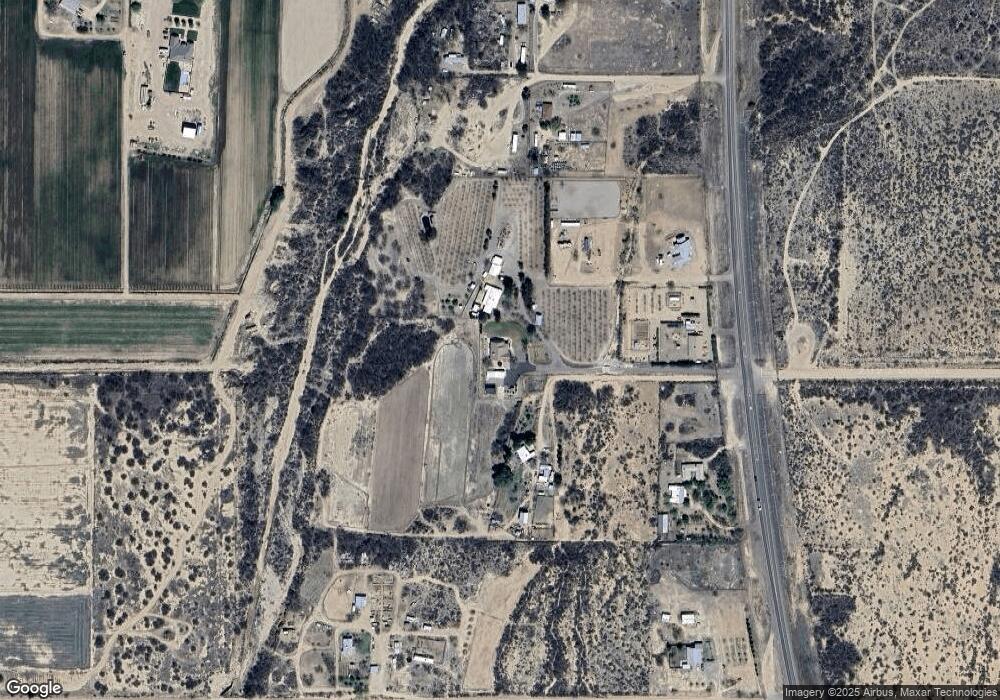
Map
Nearby Homes
- 1350 E Goosetree Ln
- 1250 E Antelope Ln
- 9743 S Calle de Buena Vista
- TBD Calle de Buena Vista Unit 6
- 650 E Corto Senda Unit 5
- 639 E Bowler Ln
- 8944 S Thomas Place
- 8656 Yavapai Dr
- 8615 S Thunderbird Dr
- 8583 S Thunderbird Dr
- 8544 S Thunderbird Dr
- 0.23ac Yavapai Dr Unit 272
- 8495 Navajo Dr
- 8420 S Ute Cir
- tbd Pommel St Unit B
- 7910 U S 191
- 558 Dakota Dr
- TBD Quartz Ridge
- TBD #5 Tbd Hwy 191 Unit 5
- 0 Us Hwy 191 -- Unit 13 6846235
- 10968 S Us Highway 191
- TBD E Artesia 2 Acres Rd
- TBD E Artesia 3 Acres Rd
- TBD E Artesia 2 Acres (New) Rd
- 10936 S Us Highway 191
- 10936 S Us Hwy 191 --
- 10936 S Us Highway 191
- 11018 S Us Highway 191
- 11006 S Us Highway 191
- 253 W Rawhide Ln
- 174 W Quatro Cerros Rd
- 10766 S Rawhide Ln
- 10240 S Us Highway 191
- 10750 S Us Highway 191
- 480 E Artesia Rd
- 400 W Quatro Cerros Rd
- 636 E Artesia Rd
- 10910 S Artesia Trail
- 10930 S Artesia Trail