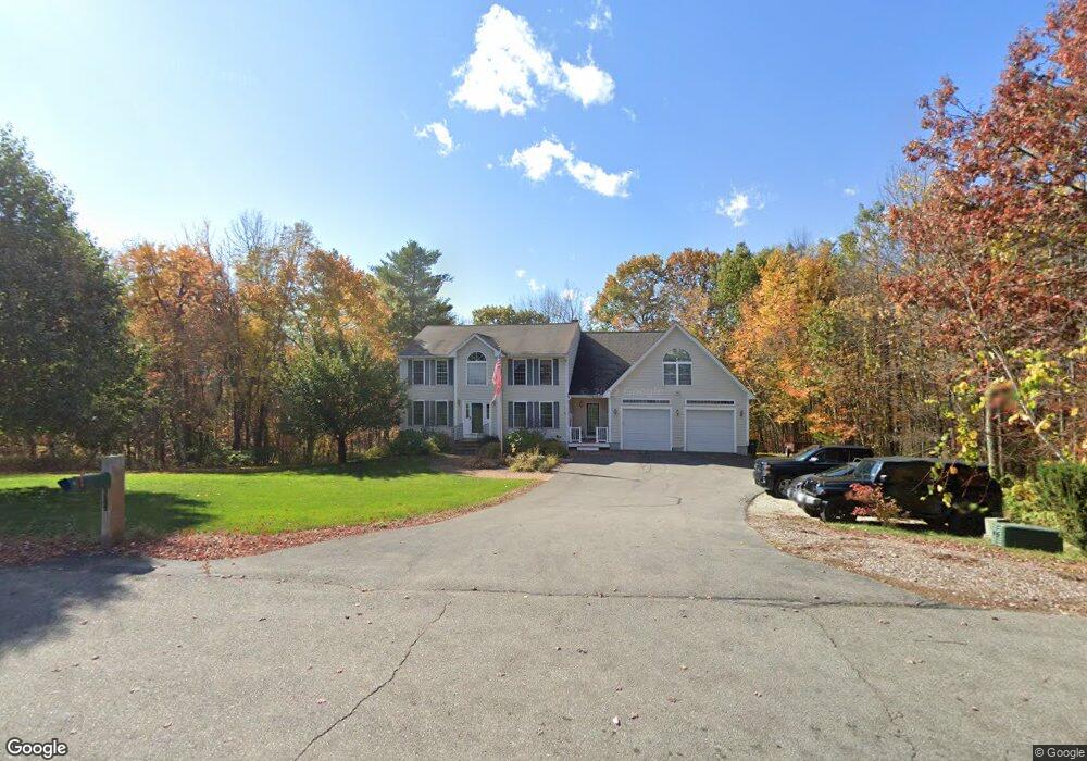
11 Alderwood Ct Hooksett, NH 03106
Estimated Value: $714,000 - $805,000
4
Beds
5
Baths
2,634
Sq Ft
$292/Sq Ft
Est. Value
About This Home
This home is located at 11 Alderwood Ct, Hooksett, NH 03106 and is currently estimated at $768,671, approximately $291 per square foot. 11 Alderwood Ct is a home located in Merrimack County with nearby schools including Fred C. Underhill School, Hooksett Memorial School, and David R. Cawley Middle School.
Ownership History
Date
Name
Owned For
Owner Type
Purchase Details
Closed on
Sep 23, 1999
Sold by
Craig Samson Const Inc
Bought by
Descoteaux Eric L and Descoteaux Michele R
Current Estimated Value
Home Financials for this Owner
Home Financials are based on the most recent Mortgage that was taken out on this home.
Original Mortgage
$127,500
Interest Rate
8.1%
Create a Home Valuation Report for This Property
The Home Valuation Report is an in-depth analysis detailing your home's value as well as a comparison with similar homes in the area
Home Values in the Area
Average Home Value in this Area
Purchase History
| Date | Buyer | Sale Price | Title Company |
|---|---|---|---|
| Descoteaux Eric L | $138,600 | -- |
Source: Public Records
Mortgage History
| Date | Status | Borrower | Loan Amount |
|---|---|---|---|
| Open | Descoteaux Eric L | $268,000 | |
| Closed | Descoteaux Eric L | $50,000 | |
| Closed | Descoteaux Eric L | $127,500 |
Source: Public Records
Tax History Compared to Growth
Tax History
| Year | Tax Paid | Tax Assessment Tax Assessment Total Assessment is a certain percentage of the fair market value that is determined by local assessors to be the total taxable value of land and additions on the property. | Land | Improvement |
|---|---|---|---|---|
| 2024 | $12,554 | $740,200 | $189,100 | $551,100 |
| 2023 | $11,828 | $740,200 | $189,100 | $551,100 |
| 2022 | $10,075 | $418,900 | $124,800 | $294,100 |
| 2021 | $9,308 | $418,900 | $124,800 | $294,100 |
| 2020 | $9,429 | $418,900 | $124,800 | $294,100 |
| 2019 | $9,027 | $418,900 | $124,800 | $294,100 |
| 2018 | $9,266 | $418,900 | $124,800 | $294,100 |
| 2017 | $8,848 | $330,900 | $109,400 | $221,500 |
| 2016 | $8,732 | $330,900 | $109,400 | $221,500 |
| 2015 | $5,884 | $330,900 | $109,400 | $221,500 |
| 2014 | $5,627 | $330,900 | $109,400 | $221,500 |
| 2013 | -- | $330,900 | $109,400 | $221,500 |
Source: Public Records
Map
Nearby Homes
- 111 Laurel Lot 35 Rd
- 30 Laurel Rd
- 125 Laurel Rd Unit 33
- 110 Laurel Rd Unit 31
- 197 Whitehall Rd
- 6 Gailor Ln
- 22 Harmony Ln
- 7 Mulberry Ln
- 2 Farrwood Dr
- 286B Londonderry Turnpike Unit A
- 286 Londonderry Turnpike Unit A
- 34 Lindsay Rd
- 18 Julia Dr
- 69 Heather Cir
- 27 Martins Ferry Rd
- 136 Mammoth Rd Unit 628
- 126 Mammoth Rd Unit 1
- 128 Mammoth Rd Unit 122
- 18 Cindy Dr
- 46 Moose Pond Terrace
- 9 Alderwood Ct
- 8 Alderwood Ct
- 10 Alderwood Ct
- 7 Alderwood Ct
- 6 Alderwood Ct
- 4 Alderwood Ct
- 13 Spruce Ct
- 11 Spruce Ct
- 5 Alderwood Ct
- 21 Evelyn St
- 19 Evelyn St
- 3 Alderwood Ct
- 2 Alderwood Ct
- 23 Evelyn St
- 1 Alderwood Ct
- 56 Colleen Cir
- 60 Colleen Cir
- 47 Colleen Cir Unit 77
- 64 Colleen Cir Unit 78
- 52 Colleen Cir Unit 81