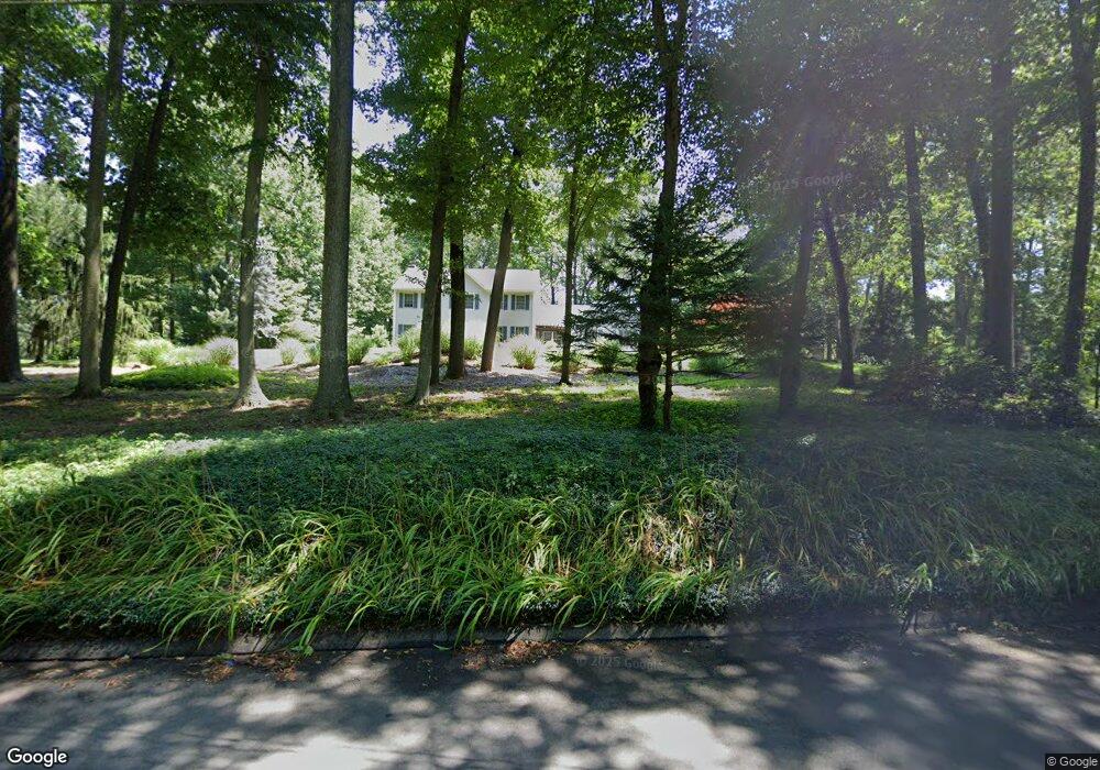
11 Bear Rock Rd Durham, CT 06422
Estimated Value: $579,909 - $797,000
4
Beds
3
Baths
2,472
Sq Ft
$277/Sq Ft
Est. Value
About This Home
This home is located at 11 Bear Rock Rd, Durham, CT 06422 and is currently estimated at $684,477, approximately $276 per square foot. 11 Bear Rock Rd is a home located in Middlesex County with nearby schools including Frank Ward Strong School and Coginchaug Regional High School.
Ownership History
Date
Name
Owned For
Owner Type
Purchase Details
Closed on
Feb 9, 1996
Sold by
Ctw Builders & Dev
Bought by
Filiault Mark R and Filiault Sheila M
Current Estimated Value
Create a Home Valuation Report for This Property
The Home Valuation Report is an in-depth analysis detailing your home's value as well as a comparison with similar homes in the area
Home Values in the Area
Average Home Value in this Area
Purchase History
| Date | Buyer | Sale Price | Title Company |
|---|---|---|---|
| Filiault Mark R | $220,000 | -- | |
| Ctw Builders & Dev | $80,000 | -- |
Source: Public Records
Mortgage History
| Date | Status | Borrower | Loan Amount |
|---|---|---|---|
| Open | Ctw Builders & Dev | $220,000 | |
| Closed | Ctw Builders & Dev | $153,000 | |
| Closed | Ctw Builders & Dev | $131,000 |
Source: Public Records
Tax History
| Year | Tax Paid | Tax Assessment Tax Assessment Total Assessment is a certain percentage of the fair market value that is determined by local assessors to be the total taxable value of land and additions on the property. | Land | Improvement |
|---|---|---|---|---|
| 2025 | $9,370 | $250,600 | $78,200 | $172,400 |
| 2024 | $8,946 | $250,600 | $78,190 | $172,410 |
| 2023 | $8,716 | $250,600 | $78,190 | $172,410 |
| 2022 | $8,663 | $250,600 | $78,190 | $172,410 |
| 2021 | $8,911 | $250,600 | $78,190 | $172,410 |
| 2020 | $9,189 | $256,830 | $80,640 | $176,190 |
| 2019 | $9,218 | $256,830 | $80,640 | $176,190 |
| 2018 | $9,374 | $256,830 | $80,640 | $176,190 |
| 2017 | $10,145 | $256,830 | $80,640 | $176,190 |
| 2016 | $9,069 | $256,830 | $80,640 | $176,190 |
| 2015 | $9,225 | $273,420 | $99,610 | $173,810 |
| 2014 | $9,083 | $273,420 | $99,610 | $173,810 |
Source: Public Records
Map
Nearby Homes
- 42 Pine Ledge Trail
- 204 Old Blue Hills Rd
- 36 Maiden Ln
- 268 Main St
- 2 Stone Bridge Dr Unit Lot 2
- 148 Wallingford Rd
- 153 Wallingford Rd
- 25 Route 79
- 0 Dinatale Dr
- 74R Stone Bridge Dr
- 18 Talcott Ridge Dr
- 0 Round Hill Lot 17 Rd
- 523 Chamberlain Hill Rd
- 26 Old Wallingford Rd
- 148 & 153 Wallingford Rd
- 15r Clark Rd
- 215 Chamberlain Hill Rd
- 3 Copley Rd
- Lot 2 Coleman Rd
- 4 Jans Way
- 23 Bear Rock Rd
- 348R Higganum Rd
- 348 Higganum Rd
- 31 Bear Rock Rd
- 31R Bear Rock Rd
- 35 Bear Rock Rd
- 361 Higganum Rd
- 362 Higganum Rd
- 33R Bear Rock Rd
- 33 Bear Rock Rd
- 337 Higganum Rd
- 371 Higganum Rd
- 384 Higganum Rd
- 381 Higganum Rd
- 0 Harvey Rd Unit N294166
- 0 Harvey Rd Unit N294165
- 0 Harvey Rd Unit N310920
- 0 Harvey Rd Unit N318642
- 0 Harvey Rd
- 311 Higganum Rd
Your Personal Tour Guide
Ask me questions while you tour the home.