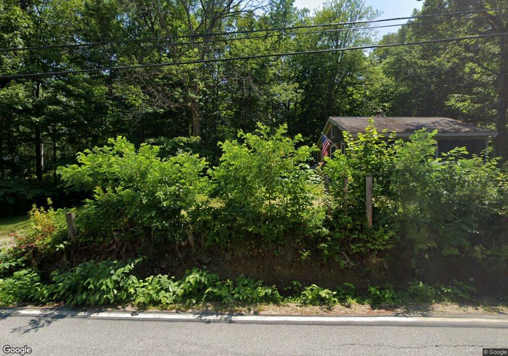
11 Fortier Rd Meredith, NH 03253
Estimated Value: $292,716 - $484,000
2
Beds
1
Bath
984
Sq Ft
$371/Sq Ft
Est. Value
About This Home
This home is located at 11 Fortier Rd, Meredith, NH 03253 and is currently estimated at $365,179, approximately $371 per square foot. 11 Fortier Rd is a home located in Belknap County with nearby schools including Inter-Lakes Elementary School and Lakeland School.
Ownership History
Date
Name
Owned For
Owner Type
Purchase Details
Closed on
Apr 18, 2016
Sold by
Nesbitt Jason L and Nesbitt Leslie L
Bought by
Hamson Kerry A
Current Estimated Value
Purchase Details
Closed on
Sep 4, 2009
Sold by
Dorothy B Rasmussen Re
Bought by
Nesbitt Jason L and Nesbitt Leslie L
Home Financials for this Owner
Home Financials are based on the most recent Mortgage that was taken out on this home.
Original Mortgage
$132,000
Interest Rate
5.21%
Mortgage Type
Purchase Money Mortgage
Create a Home Valuation Report for This Property
The Home Valuation Report is an in-depth analysis detailing your home's value as well as a comparison with similar homes in the area
Home Values in the Area
Average Home Value in this Area
Purchase History
| Date | Buyer | Sale Price | Title Company |
|---|---|---|---|
| Hamson Kerry A | $35,000 | -- | |
| Nesbitt Jason L | $129,900 | -- |
Source: Public Records
Mortgage History
| Date | Status | Borrower | Loan Amount |
|---|---|---|---|
| Previous Owner | Nesbitt Jason L | $132,000 |
Source: Public Records
Tax History Compared to Growth
Tax History
| Year | Tax Paid | Tax Assessment Tax Assessment Total Assessment is a certain percentage of the fair market value that is determined by local assessors to be the total taxable value of land and additions on the property. | Land | Improvement |
|---|---|---|---|---|
| 2024 | $1,777 | $173,200 | $103,700 | $69,500 |
| 2023 | $1,713 | $173,200 | $103,700 | $69,500 |
| 2022 | $1,612 | $115,400 | $63,700 | $51,700 |
| 2021 | $1,550 | $115,400 | $63,700 | $51,700 |
| 2020 | $1,618 | $115,400 | $63,700 | $51,700 |
| 2019 | $1,535 | $96,600 | $51,500 | $45,100 |
| 2018 | $1,509 | $96,600 | $51,500 | $45,100 |
| 2016 | $1,406 | $90,200 | $50,200 | $40,000 |
| 2015 | $1,371 | $90,200 | $50,200 | $40,000 |
| 2014 | $1,338 | $90,200 | $50,200 | $40,000 |
| 2013 | $1,964 | $136,300 | $50,200 | $86,100 |
Source: Public Records
Map
Nearby Homes
- 21 Upper Ladd Hill Rd Unit D
- 21 Upper Ladd Hill Rd Unit A
- 21 Upper Ladd Hill Rd Unit E
- 21 Upper Ladd Hill Rd Unit C
- 21 Upper Ladd Hill Rd Unit B
- 22 Clover Ridge Rd
- 0 Wall Unit J-2 5062335
- 0 Wall Unit J-1 5062334
- 5 Clover Ridge Rd
- 2 Namak Way
- 8 Water St Unit 2
- 57 Winona Rd
- 15 Highland St
- 83 Tracy Way
- 4 Pike Island Rd
- 0 Parade Rd Unit 5
- 33 Hickorywood Cir
- 1 Turtle Ln
- 26 Sawmill Shores Rd
- 7 Mudgett Ave
- 9 Fortier Rd
- 15 Fortier Rd
- 7 Fortier Rd
- 2 Fortier Rd
- 106 Waukewan St
- 17 Fortier Rd
- 8 Fortier Rd
- 12 Fortier Rd
- 5 Fortier Rd
- 6 Piper Ln
- 104 Waukewan St
- 1 Fortier Rd
- 110 Waukewan St
- 4 Fortier Rd Unit 2
- 4 Fortier Rd
- 4 Fortier Rd Unit 6
- Lot 4 132 Waukewan St
- Lot 2-3-4 Waukewan St
- 114 Waukewan St
- 24 Birch Hill Rd