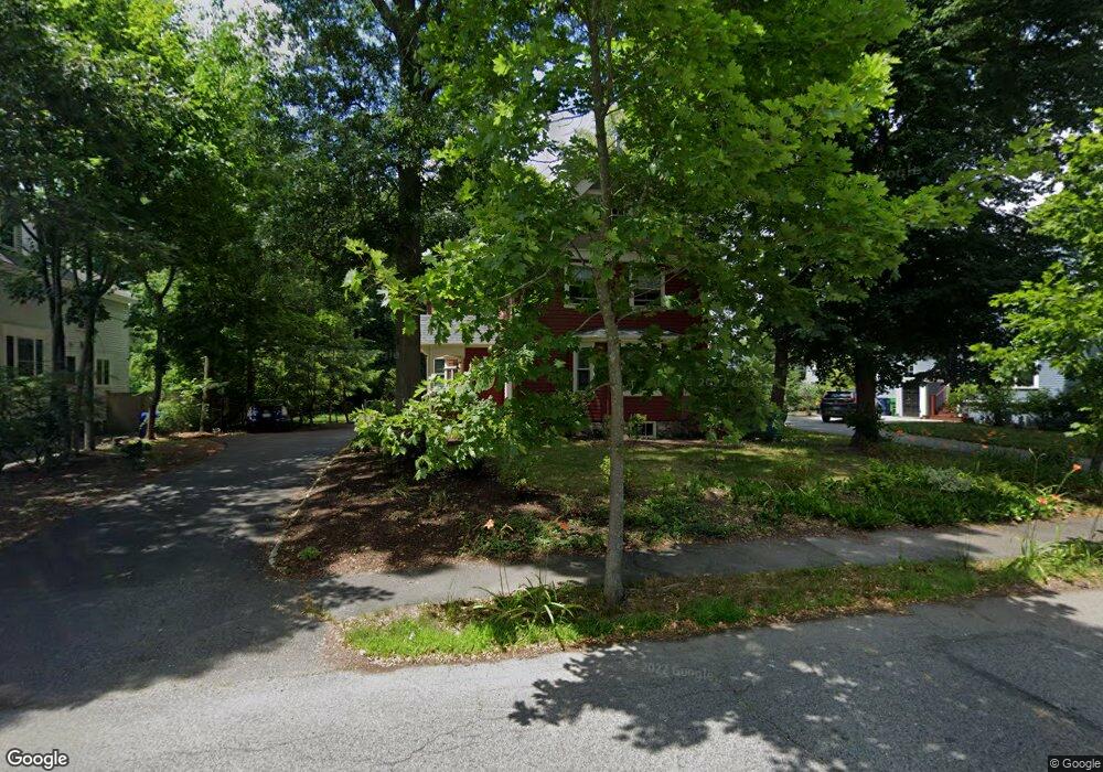
11 Irvington St Waban, MA 02468
Waban NeighborhoodEstimated Value: $1,966,311 - $2,628,000
6
Beds
4
Baths
3,440
Sq Ft
$656/Sq Ft
Est. Value
About This Home
This home is located at 11 Irvington St, Waban, MA 02468 and is currently estimated at $2,256,328, approximately $655 per square foot. 11 Irvington St is a home located in Middlesex County with nearby schools including Angier Elementary School, Charles E Brown Middle School, and Newton South High School.
Ownership History
Date
Name
Owned For
Owner Type
Purchase Details
Closed on
Oct 9, 1992
Sold by
Whittlesey Robert B and Whittlesey Louise A
Bought by
Scolnick Barbara and Pressberg Robert E
Current Estimated Value
Home Financials for this Owner
Home Financials are based on the most recent Mortgage that was taken out on this home.
Original Mortgage
$300,000
Interest Rate
7.99%
Mortgage Type
Purchase Money Mortgage
Create a Home Valuation Report for This Property
The Home Valuation Report is an in-depth analysis detailing your home's value as well as a comparison with similar homes in the area
Home Values in the Area
Average Home Value in this Area
Purchase History
| Date | Buyer | Sale Price | Title Company |
|---|---|---|---|
| Scolnick Barbara | $465,000 | -- |
Source: Public Records
Mortgage History
| Date | Status | Borrower | Loan Amount |
|---|---|---|---|
| Open | Scolnick Barbara | $75,000 | |
| Closed | Scolnick Barbara | $296,000 | |
| Closed | Scolnick Barbara | $300,000 | |
| Previous Owner | Scolnick Barbara | $100,000 |
Source: Public Records
Tax History Compared to Growth
Tax History
| Year | Tax Paid | Tax Assessment Tax Assessment Total Assessment is a certain percentage of the fair market value that is determined by local assessors to be the total taxable value of land and additions on the property. | Land | Improvement |
|---|---|---|---|---|
| 2025 | $16,509 | $1,684,600 | $1,341,100 | $343,500 |
| 2024 | $15,962 | $1,635,500 | $1,302,000 | $333,500 |
| 2023 | $15,224 | $1,495,500 | $1,006,900 | $488,600 |
| 2022 | $14,567 | $1,384,700 | $932,300 | $452,400 |
| 2021 | $14,056 | $1,306,300 | $879,500 | $426,800 |
| 2020 | $13,638 | $1,306,300 | $879,500 | $426,800 |
| 2019 | $13,254 | $1,268,300 | $853,900 | $414,400 |
| 2018 | $12,853 | $1,187,900 | $775,100 | $412,800 |
| 2017 | $12,462 | $1,120,700 | $731,200 | $389,500 |
| 2016 | $11,919 | $1,047,400 | $683,400 | $364,000 |
| 2015 | $11,365 | $978,900 | $638,700 | $340,200 |
Source: Public Records
Map
Nearby Homes
- 1801 Beacon St
- 34 Pilgrim Rd
- 33 Metacomet Rd
- 20 Kinmonth Rd Unit 203
- 20 Kinmonth Rd Unit 306
- 18 Annawan Rd
- 10 Lorraine Cir
- 120 Collins Rd
- 115 Windsor Rd
- 177 Varick Rd
- 29 Montclair Rd
- 34 Palmer Rd
- 45 E Quinobequin Rd
- 80 Pine Ridge Rd
- 2084 Washington St
- 873 Chestnut St
- 131 Oliver Rd
- 1430 Beacon St
- 6 Willow St
- 181 Saint Mary St
- 19 Irvington St
- 1772 Beacon St
- 1784 Beacon St
- 63 Nehoiden Rd
- 75 Nehoiden Rd
- 1762 Beacon St
- 69 Nehoiden Rd
- 12 Irvington St
- 22 Irvington St
- 49 Nehoiden Rd
- 83 Nehoiden Rd
- 1756 Beacon St
- 1800 Beacon St
- 1775 Beacon St
- 20 Crofton Rd
- 1791 Beacon St
- 91 Nehoiden Rd
- 1765 Beacon St
- 56 Nehoiden Rd
- 39 Nehoiden Rd