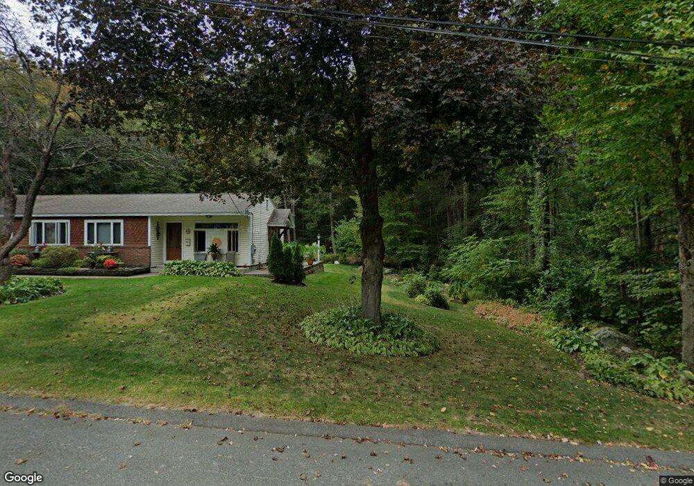
11 Laurel St Shelburne Falls, MA 01370
Buckland NeighborhoodEstimated Value: $1,188,324 - $1,366,000
4
Beds
4
Baths
6,536
Sq Ft
$197/Sq Ft
Est. Value
About This Home
This home is located at 11 Laurel St, Shelburne Falls, MA 01370 and is currently estimated at $1,285,775, approximately $196 per square foot. 11 Laurel St is a home with nearby schools including Mohawk Trail Regional High School.
Ownership History
Date
Name
Owned For
Owner Type
Purchase Details
Closed on
Oct 10, 2023
Sold by
Long Carl D and Long Bridget T
Bought by
Laurel Moutain Rd 11 Rt and Long
Current Estimated Value
Purchase Details
Closed on
Mar 23, 2004
Sold by
Torchia Deborah L and Torchia John W
Bought by
Phillips Kathy L
Purchase Details
Closed on
Nov 30, 1993
Sold by
Hickey Thomas F
Bought by
Phillips Kathy L
Home Financials for this Owner
Home Financials are based on the most recent Mortgage that was taken out on this home.
Original Mortgage
$139,500
Interest Rate
6.72%
Mortgage Type
Purchase Money Mortgage
Create a Home Valuation Report for This Property
The Home Valuation Report is an in-depth analysis detailing your home's value as well as a comparison with similar homes in the area
Home Values in the Area
Average Home Value in this Area
Purchase History
| Date | Buyer | Sale Price | Title Company |
|---|---|---|---|
| Laurel Moutain Rd 11 Rt | -- | None Available | |
| Phillips Kathy L | -- | -- | |
| Phillips Kathy L | $147,000 | -- |
Source: Public Records
Mortgage History
| Date | Status | Borrower | Loan Amount |
|---|---|---|---|
| Previous Owner | Phillips Kathy L | $139,500 |
Source: Public Records
Tax History Compared to Growth
Tax History
| Year | Tax Paid | Tax Assessment Tax Assessment Total Assessment is a certain percentage of the fair market value that is determined by local assessors to be the total taxable value of land and additions on the property. | Land | Improvement |
|---|---|---|---|---|
| 2025 | $15,533 | $1,164,400 | $294,000 | $870,400 |
| 2024 | $16,160 | $1,180,400 | $308,900 | $871,500 |
| 2023 | $14,791 | $1,041,600 | $294,000 | $747,600 |
| 2022 | $14,280 | $1,041,600 | $294,000 | $747,600 |
| 2021 | $13,510 | $905,500 | $294,000 | $611,500 |
| 2020 | $13,967 | $891,300 | $290,100 | $601,200 |
| 2019 | $13,709 | $883,300 | $290,100 | $593,200 |
| 2018 | $13,573 | $884,800 | $291,600 | $593,200 |
| 2017 | $13,803 | $884,800 | $291,600 | $593,200 |
| 2016 | $12,204 | $815,800 | $282,400 | $533,400 |
| 2015 | $12,404 | $767,100 | $233,700 | $533,400 |
| 2014 | $12,097 | $767,100 | $233,700 | $533,400 |
Source: Public Records
Map
Nearby Homes
- 102 Elm St
- 10 Deerfield Ave Unit 5
- 10 Deerfield Ave Unit 2
- 105 - 107 Bridge St
- 33 Williams St
- 2151 Route 2
- 2155 Massachusetts 2
- 7 Hog Hollow Rd
- 156 Ashfield Rd
- 0 Upper St
- 31 W Oxbow Rd
- 24 W Oxbow Rd
- 0 Ashfield Rd
- 85 Dacey Rd
- 0 W Oxbow Rd Unit 73453651
- lot 1 Shelburne Falls Rd
- 240 Beldingville Rd
- 143 Charlemont Rd
- 3+5 Church St
- 0 Fiske Mill Rd