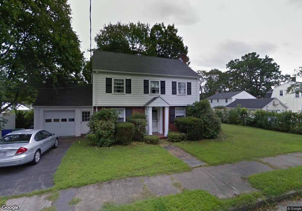
11 Star Rd West Newton, MA 02465
West Newton NeighborhoodEstimated Value: $955,000 - $1,093,781
3
Beds
2
Baths
1,589
Sq Ft
$648/Sq Ft
Est. Value
About This Home
This home is located at 11 Star Rd, West Newton, MA 02465 and is currently estimated at $1,029,445, approximately $647 per square foot. 11 Star Rd is a home located in Middlesex County with nearby schools including C.C. Burr, Franklin Elementary School, and F.A. Day Middle School.
Create a Home Valuation Report for This Property
The Home Valuation Report is an in-depth analysis detailing your home's value as well as a comparison with similar homes in the area
Home Values in the Area
Average Home Value in this Area
Tax History Compared to Growth
Tax History
| Year | Tax Paid | Tax Assessment Tax Assessment Total Assessment is a certain percentage of the fair market value that is determined by local assessors to be the total taxable value of land and additions on the property. | Land | Improvement |
|---|---|---|---|---|
| 2025 | $8,289 | $845,800 | $758,000 | $87,800 |
| 2024 | $8,015 | $821,200 | $735,900 | $85,300 |
| 2023 | $7,556 | $742,200 | $554,000 | $188,200 |
| 2022 | $7,229 | $687,200 | $513,000 | $174,200 |
| 2021 | $0 | $648,300 | $484,000 | $164,300 |
| 2020 | $6,768 | $648,300 | $484,000 | $164,300 |
| 2019 | $6,577 | $629,400 | $469,900 | $159,500 |
| 2018 | $18,102 | $583,700 | $427,300 | $156,400 |
| 2017 | $6,124 | $550,700 | $403,100 | $147,600 |
| 2016 | $5,857 | $514,700 | $376,700 | $138,000 |
| 2015 | $5,584 | $481,000 | $352,100 | $128,900 |
Source: Public Records
Map
Nearby Homes
- 265-267 River St Unit 267
- 265-267 River St Unit 265
- 33 Lill Ave
- 56 Dearborn St
- 44 Westland Ave
- 90 Auburndale Ave
- 101-103 Lexington St
- 14 Cottage Place Unit 14
- 106 River St Unit 18
- 106 River St Unit 2
- 106 River St Unit 14
- 2 Elm St Unit 6
- 2 Elm St Unit 8
- 287 Cherry St Unit 2
- 160 Pine St Unit 12
- 371 Cherry St
- 41 Kilburn Rd
- 31-37 Washington Ave
- 24 Tolman St Unit A
- 25 Tolman St Unit 2