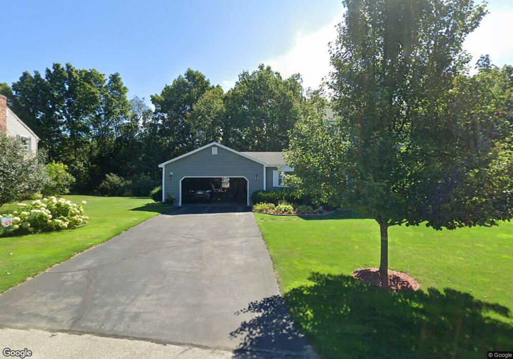
11 Toftree Ln Dover, NH 03820
Dover Point NeighborhoodEstimated Value: $584,068 - $642,000
3
Beds
3
Baths
1,680
Sq Ft
$365/Sq Ft
Est. Value
About This Home
This home is located at 11 Toftree Ln, Dover, NH 03820 and is currently estimated at $612,517, approximately $364 per square foot. 11 Toftree Ln is a home located in Strafford County with nearby schools including Garrison School, Dover Middle School, and Dover Senior High School.
Create a Home Valuation Report for This Property
The Home Valuation Report is an in-depth analysis detailing your home's value as well as a comparison with similar homes in the area
Home Values in the Area
Average Home Value in this Area
Tax History Compared to Growth
Tax History
| Year | Tax Paid | Tax Assessment Tax Assessment Total Assessment is a certain percentage of the fair market value that is determined by local assessors to be the total taxable value of land and additions on the property. | Land | Improvement |
|---|---|---|---|---|
| 2024 | $9,808 | $539,800 | $173,400 | $366,400 |
| 2023 | $9,137 | $488,600 | $173,400 | $315,200 |
| 2022 | $9,261 | $466,800 | $173,400 | $293,400 |
| 2021 | $8,877 | $409,100 | $154,200 | $254,900 |
| 2020 | $8,608 | $346,400 | $134,900 | $211,500 |
| 2019 | $8,373 | $332,400 | $125,300 | $207,100 |
| 2018 | $8,109 | $325,400 | $125,300 | $200,100 |
| 2017 | $7,394 | $285,800 | $91,500 | $194,300 |
| 2016 | $7,143 | $271,700 | $92,200 | $179,500 |
| 2015 | $7,116 | $267,400 | $92,200 | $175,200 |
| 2014 | $6,955 | $267,400 | $92,200 | $175,200 |
| 2011 | $6,267 | $249,500 | $78,400 | $171,100 |
Source: Public Records
Map
Nearby Homes
- 4 Freedom Dr
- 14 Independence Dr
- 51 Constitution Way
- 9 Old Colony Rd
- 1 Independence Dr
- 6 Revolution Dr
- 55 Pointe Place Unit 108
- 55 Pointe Place Unit 208
- 55 Pointe Place Unit 207
- 55 Pointe Place Unit 304
- 25 Dover Point Rd
- 38 Tideview Dr
- 20 Village Dr
- 15 Dover Point Rd
- 31 Rosanna Dr
- 19 Lenox Dr Unit A
- 25 Leathers Ln
- 142 Katie Ln
- 52 Katie Ln
- 19 Schooner Dr