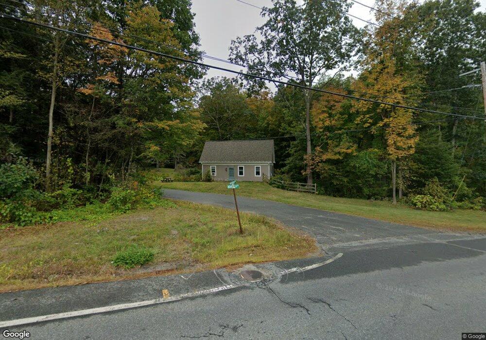
11 Woodward Rd Shelburne Falls, MA 01370
Buckland NeighborhoodEstimated Value: $450,000 - $739,000
3
Beds
3
Baths
1,683
Sq Ft
$324/Sq Ft
Est. Value
About This Home
This home is located at 11 Woodward Rd, Shelburne Falls, MA 01370 and is currently estimated at $545,317, approximately $324 per square foot. 11 Woodward Rd is a home with nearby schools including Mohawk Trail Regional High School.
Ownership History
Date
Name
Owned For
Owner Type
Purchase Details
Closed on
Feb 13, 2020
Sold by
Mildred C March Ret and March
Bought by
March Timothy A and March Carol L
Current Estimated Value
Home Financials for this Owner
Home Financials are based on the most recent Mortgage that was taken out on this home.
Original Mortgage
$125,000
Outstanding Balance
$110,442
Interest Rate
3.6%
Mortgage Type
New Conventional
Estimated Equity
$434,875
Purchase Details
Closed on
Nov 9, 2011
Sold by
March Mildred C
Bought by
Mildred C March Ret and March
Create a Home Valuation Report for This Property
The Home Valuation Report is an in-depth analysis detailing your home's value as well as a comparison with similar homes in the area
Home Values in the Area
Average Home Value in this Area
Purchase History
| Date | Buyer | Sale Price | Title Company |
|---|---|---|---|
| March Timothy A | $100,000 | None Available | |
| March Timothy A | $100,000 | None Available | |
| Mildred C March Ret | -- | -- | |
| Mildred C March Ret | -- | -- | |
| Mildred C March Ret | -- | -- |
Source: Public Records
Mortgage History
| Date | Status | Borrower | Loan Amount |
|---|---|---|---|
| Open | March Timothy A | $125,000 | |
| Closed | March Timothy A | $125,000 |
Source: Public Records
Tax History Compared to Growth
Tax History
| Year | Tax Paid | Tax Assessment Tax Assessment Total Assessment is a certain percentage of the fair market value that is determined by local assessors to be the total taxable value of land and additions on the property. | Land | Improvement |
|---|---|---|---|---|
| 2025 | $6,214 | $366,800 | $70,600 | $296,200 |
| 2024 | $6,125 | $348,800 | $70,600 | $278,200 |
| 2023 | $5,011 | $295,800 | $69,200 | $226,600 |
| 2022 | $4,964 | $295,800 | $69,200 | $226,600 |
| 2021 | $4,678 | $262,200 | $69,200 | $193,000 |
| 2020 | $3,191 | $172,300 | $69,200 | $103,100 |
| 2019 | $3,042 | $163,300 | $69,200 | $94,100 |
| 2018 | $2,995 | $158,900 | $69,200 | $89,700 |
| 2017 | $2,868 | $158,900 | $69,200 | $89,700 |
| 2016 | $2,684 | $158,800 | $69,200 | $89,600 |
| 2015 | $2,668 | $158,800 | $69,200 | $89,600 |
Source: Public Records
Map
Nearby Homes
- 2151 Route 2
- 2155 Massachusetts 2
- 33 Williams St
- 31 W Oxbow Rd
- 24 W Oxbow Rd
- 10 Deerfield Ave Unit 5
- 10 Deerfield Ave Unit 2
- 156 Ashfield Rd
- 105 - 107 Bridge St
- 7 Hog Hollow Rd
- 0 W Oxbow Rd Unit 73453651
- 102 Elm St
- 0 Upper St
- 143 Charlemont Rd
- 0 Ashfield Rd
- 3+5 Church St
- 32 Navaho Ln
- 139 Taylor Brook Rd
- 6 Chippewa Dr
- 14 South Rd
- 69 Ashfield Rd
- LOT 2 Hodgen Rd
- LOT1 Avery Charlemont Roads
- 4 Woodward Rd
- 3 Woodward Rd
- 5 Woodward Rd
- 2 E Buckland Rd
- 0 E Buckland Rd Unit 72309210
- 0 E Buckland Rd Unit 72120931
- 0 E Buckland Rd Unit 72596148
- 76 Ashfield Rd
- 4 Depot Rd
- 6 Depot Rd
- 78 Ashfield Rd
- 6 E Buckland Rd
- 1 E Buckland Rd
- 48 Ashfield Rd
- 8 E Buckland Rd
- 45 Ashfield Rd
- 7 E Buckland Rd