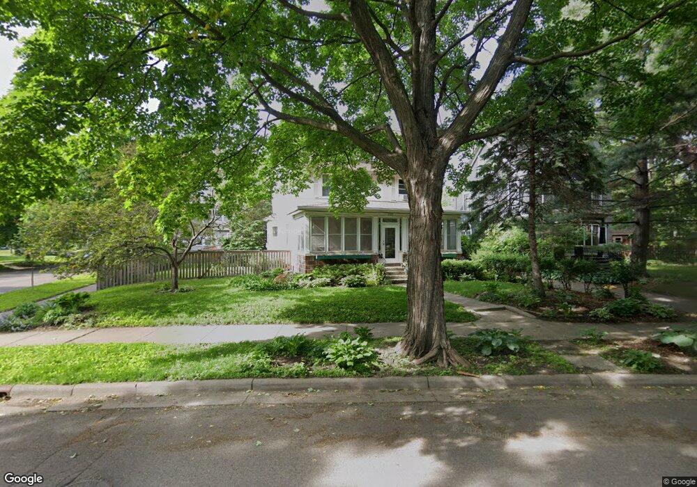
110 Amherst St Saint Paul, MN 55105
Macalester-Groveland NeighborhoodEstimated Value: $748,000 - $788,916
5
Beds
4
Baths
2,840
Sq Ft
$269/Sq Ft
Est. Value
About This Home
This home is located at 110 Amherst St, Saint Paul, MN 55105 and is currently estimated at $764,229, approximately $269 per square foot. 110 Amherst St is a home located in Ramsey County with nearby schools including Groveland Park Elementary School, Hidden River Middle School, and Central Senior High School.
Ownership History
Date
Name
Owned For
Owner Type
Purchase Details
Closed on
Aug 7, 2014
Sold by
Donnelly Michael J and Donnelly Deborah A
Bought by
Johnson Carl and Johnson Tenley
Current Estimated Value
Home Financials for this Owner
Home Financials are based on the most recent Mortgage that was taken out on this home.
Original Mortgage
$479,920
Outstanding Balance
$365,938
Interest Rate
4.11%
Mortgage Type
New Conventional
Estimated Equity
$398,291
Create a Home Valuation Report for This Property
The Home Valuation Report is an in-depth analysis detailing your home's value as well as a comparison with similar homes in the area
Home Values in the Area
Average Home Value in this Area
Purchase History
| Date | Buyer | Sale Price | Title Company |
|---|---|---|---|
| Johnson Carl | $618,078 | Burnet Title |
Source: Public Records
Mortgage History
| Date | Status | Borrower | Loan Amount |
|---|---|---|---|
| Open | Johnson Carl | $479,920 |
Source: Public Records
Tax History Compared to Growth
Tax History
| Year | Tax Paid | Tax Assessment Tax Assessment Total Assessment is a certain percentage of the fair market value that is determined by local assessors to be the total taxable value of land and additions on the property. | Land | Improvement |
|---|---|---|---|---|
| 2025 | $11,500 | $746,000 | $249,500 | $496,500 |
| 2023 | $11,500 | $700,200 | $249,500 | $450,700 |
| 2022 | $10,936 | $692,800 | $249,500 | $443,300 |
| 2021 | $10,460 | $635,500 | $249,500 | $386,000 |
| 2020 | $11,368 | $630,600 | $249,500 | $381,100 |
| 2019 | $10,620 | $635,900 | $249,500 | $386,400 |
| 2018 | $10,278 | $593,700 | $249,500 | $344,200 |
| 2017 | $9,560 | $593,700 | $249,500 | $344,200 |
| 2016 | $9,854 | $0 | $0 | $0 |
| 2015 | $9,918 | $560,300 | $207,900 | $352,400 |
| 2014 | $8,956 | $0 | $0 | $0 |
Source: Public Records
Map
Nearby Homes
- 191 Vernon St
- 1670 Ashland Ave
- 1926 Lincoln Ave
- 1917 Summit Ave Unit 2
- 1615 Stanford Ave
- 1540 Ashland Ave Unit 12
- 1821 Selby Ave
- 1920 Laurel Ave
- 2009 Grand Ave
- 750 Summit Ave
- 1510 Laurel Ave
- 1818 Juliet Ave
- 2047 Grand Ave
- 1798 Marshall Ave
- 188 Cleveland Ave S
- 2056 Summit Ave
- 1836 Marshall Ave
- 388 Snelling Ave S
- 1671 Marshall Ave
- 1797 James Ave
- 114 Amherst St
- 1730 Lincoln Ave
- 1726 Lincoln Ave
- 1722 1722 Lincoln Ave
- 1722 Lincoln Ave
- 1718 Lincoln Ave
- 1718 Lincoln Ave
- 1736 Lincoln Ave
- 1731 Goodrich Ave
- 1712 Lincoln Ave
- 1746 Lincoln Ave
- 115 Amherst St
- 1730 Goodrich Ave
- 118 Amherst St
- 127 Amherst St
- 1743 Goodrich Ave
- 1708 Lincoln Ave
- 1708 1708 Lincoln Ave
- 120 Amherst St
- 1750 Lincoln Ave