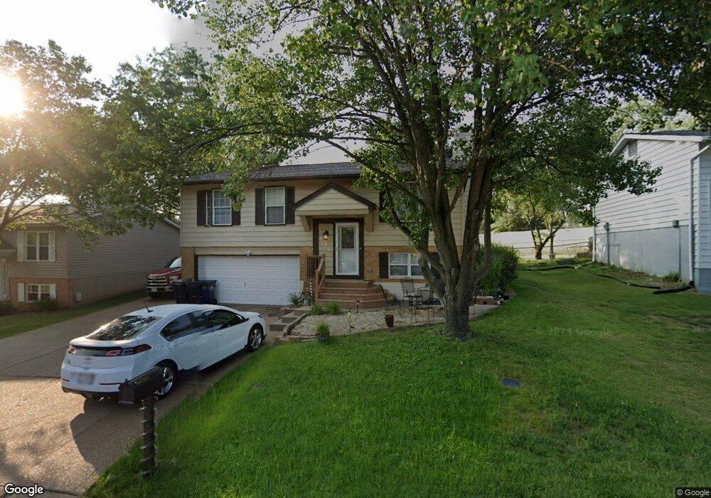
110 Elk Run Dr Eureka, MO 63025
Estimated Value: $263,000 - $271,000
3
Beds
2
Baths
988
Sq Ft
$271/Sq Ft
Est. Value
About This Home
This home is located at 110 Elk Run Dr, Eureka, MO 63025 and is currently estimated at $267,695, approximately $270 per square foot. 110 Elk Run Dr is a home located in St. Louis County with nearby schools including Blevins Elementary School, Lasalle Springs Middle School, and Eureka Senior High School.
Ownership History
Date
Name
Owned For
Owner Type
Purchase Details
Closed on
Dec 22, 2021
Sold by
Borcherding Laura F
Bought by
Borcherding Laura F and Brotcke Mark
Current Estimated Value
Home Financials for this Owner
Home Financials are based on the most recent Mortgage that was taken out on this home.
Original Mortgage
$115,000
Outstanding Balance
$90,974
Interest Rate
3.05%
Mortgage Type
New Conventional
Estimated Equity
$176,721
Purchase Details
Closed on
Apr 30, 2002
Sold by
Dessieux Mark E and Dessieux Deborah A
Bought by
Borcherding Laura F
Home Financials for this Owner
Home Financials are based on the most recent Mortgage that was taken out on this home.
Original Mortgage
$118,720
Interest Rate
7.19%
Mortgage Type
FHA
Create a Home Valuation Report for This Property
The Home Valuation Report is an in-depth analysis detailing your home's value as well as a comparison with similar homes in the area
Home Values in the Area
Average Home Value in this Area
Purchase History
| Date | Buyer | Sale Price | Title Company |
|---|---|---|---|
| Borcherding Laura F | -- | None Listed On Document | |
| Borcherding Laura F | $120,000 | -- |
Source: Public Records
Mortgage History
| Date | Status | Borrower | Loan Amount |
|---|---|---|---|
| Open | Borcherding Laura F | $115,000 | |
| Previous Owner | Borcherding Laura F | $118,720 |
Source: Public Records
Tax History
| Year | Tax Paid | Tax Assessment Tax Assessment Total Assessment is a certain percentage of the fair market value that is determined by local assessors to be the total taxable value of land and additions on the property. | Land | Improvement |
|---|---|---|---|---|
| 2025 | $2,950 | $44,140 | $15,960 | $28,180 |
| 2024 | $2,950 | $39,520 | $12,980 | $26,540 |
| 2023 | $2,953 | $39,520 | $12,980 | $26,540 |
| 2022 | $2,718 | $33,840 | $13,970 | $19,870 |
| 2021 | $2,698 | $33,840 | $13,970 | $19,870 |
| 2020 | $2,497 | $29,950 | $12,600 | $17,350 |
| 2019 | $2,505 | $29,950 | $12,600 | $17,350 |
| 2018 | $2,539 | $28,650 | $7,790 | $20,860 |
| 2017 | $2,446 | $28,650 | $7,790 | $20,860 |
| 2016 | $2,122 | $23,900 | $5,850 | $18,050 |
Source: Public Records
Map
Nearby Homes
- 125 Towne Square Ct Unit 4E
- 118 Towne Square Ct Unit D4
- 637 N Virginia Ave
- 318 Kevin Jon Ct
- 944 Emerald Oaks Ct
- 329 Kevin Jon Ct
- 15 Rockwood Place Ct
- 369 Cerny Ave
- 17114 Elm Trail Dr
- 75 Old Farmhouse Way
- 826 Lower Field Ln
- 17134 Elm Trail Dr
- 4606 Hickory Ridge View Ct
- 830 Lower Field Ln
- 83 Old Farmhouse Way
- 16 Rockwood Forest Glen
- 808 Lower Field Ln
- 3 Leona Ln
- 160 Hunters Run Ct
- 0 Unknown Unit MIS26004384
Your Personal Tour Guide
Ask me questions while you tour the home.