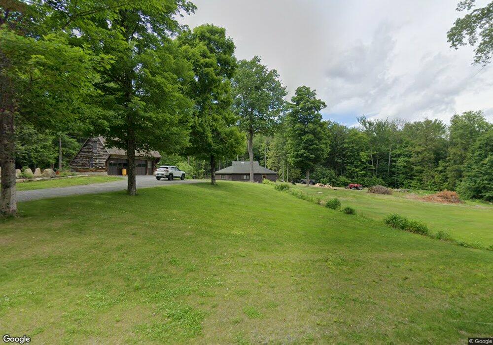
110 N Shore Rd Newport, NH 03773
Estimated Value: $363,674 - $493,000
3
Beds
2
Baths
1,716
Sq Ft
$243/Sq Ft
Est. Value
About This Home
This home is located at 110 N Shore Rd, Newport, NH 03773 and is currently estimated at $417,419, approximately $243 per square foot. 110 N Shore Rd is a home with nearby schools including Unity Elementary School.
Ownership History
Date
Name
Owned For
Owner Type
Purchase Details
Closed on
Sep 14, 2001
Sold by
Dulfano Celia
Bought by
Mellish Sean P and Mellish Betty M
Current Estimated Value
Home Financials for this Owner
Home Financials are based on the most recent Mortgage that was taken out on this home.
Original Mortgage
$72,000
Outstanding Balance
$28,076
Interest Rate
6.99%
Estimated Equity
$389,343
Create a Home Valuation Report for This Property
The Home Valuation Report is an in-depth analysis detailing your home's value as well as a comparison with similar homes in the area
Home Values in the Area
Average Home Value in this Area
Purchase History
| Date | Buyer | Sale Price | Title Company |
|---|---|---|---|
| Mellish Sean P | $90,000 | -- |
Source: Public Records
Mortgage History
| Date | Status | Borrower | Loan Amount |
|---|---|---|---|
| Open | Mellish Sean P | $72,000 |
Source: Public Records
Tax History Compared to Growth
Tax History
| Year | Tax Paid | Tax Assessment Tax Assessment Total Assessment is a certain percentage of the fair market value that is determined by local assessors to be the total taxable value of land and additions on the property. | Land | Improvement |
|---|---|---|---|---|
| 2024 | $5,435 | $311,800 | $103,200 | $208,600 |
| 2023 | $5,180 | $172,900 | $69,300 | $103,600 |
| 2022 | $5,012 | $172,900 | $69,300 | $103,600 |
| 2021 | $4,948 | $172,900 | $69,300 | $103,600 |
| 2020 | $4,803 | $172,900 | $69,300 | $103,600 |
| 2019 | $4,926 | $172,900 | $69,300 | $103,600 |
| 2018 | $5,389 | $180,000 | $65,300 | $114,700 |
| 2017 | $5,206 | $180,000 | $65,300 | $114,700 |
| 2016 | $5,423 | $180,000 | $65,300 | $114,700 |
| 2015 | $4,966 | $180,000 | $65,300 | $114,700 |
| 2014 | $4,757 | $180,000 | $65,300 | $114,700 |
| 2013 | $4,747 | $192,200 | $46,000 | $146,200 |
Source: Public Records
Map
Nearby Homes
- 189 S Hedgehog Hill Rd
- 219 Crescent Lake Rd
- 23 Potato Hill Rd
- 444 Potato Hill Rd
- 315 Gove Rd
- 144 Keyes Hollow Rd
- 275 Mica Mine Rd
- 495 Mica Mine Rd
- 741 2nd Nh Turnpike
- 87 Old Chandlers Mills Rd
- 6 Benway Hill Rd
- 0 Allen Rd
- 004 W Unity Rd
- 003 W Unity Rd
- 02 W Unity Rd
- Lot 21 Dodge Pond Ln
- 8 Skyline Rd
- 94 Cold Pond Rd
- 00 Stage Rd Unit 440
- 27 People Way Unit 27
- 24 Heino Dr
- 134 N Shore Rd
- 627 N Shore Rd
- 147 N Shore Rd
- 14 Wild Orchard Way
- 222 S Hedgehog Hill Rd
- 0 S Hedgehog Hill Rd
- 166 N Shore Rd
- 32 Wild Orchard Way
- 26 Anderson Rd
- 22 Anderson Rd
- 208 N Shore
- 46 Anderson Rd Unit 190-210
- 40 Anderson Rd
- 4 Shorewood Estates Rd
- 54 Anderson Rd
- 12 228 Hedgehog Hill
- 12 Hedgehog Hill Rd
- 10 Shorewood Estates Rd
- 188 N Shore Rd