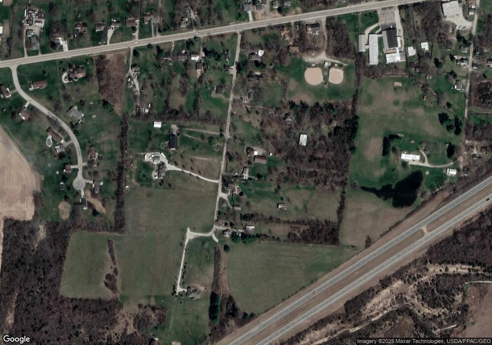
110 Rockway Ave Springfield, OH 45506
Cedar Hills/Broadview NeighborhoodEstimated Value: $142,000 - $200,000
2
Beds
2
Baths
1,036
Sq Ft
$176/Sq Ft
Est. Value
About This Home
This home is located at 110 Rockway Ave, Springfield, OH 45506 and is currently estimated at $182,441, approximately $176 per square foot. 110 Rockway Ave is a home located in Clark County with nearby schools including Possum Elementary School, Shawnee Middle School/High School, and Springfield Christian School.
Ownership History
Date
Name
Owned For
Owner Type
Purchase Details
Closed on
Jul 13, 2011
Sold by
Juergens E Melvene
Bought by
Sexton Steven R
Current Estimated Value
Home Financials for this Owner
Home Financials are based on the most recent Mortgage that was taken out on this home.
Original Mortgage
$82,901
Outstanding Balance
$56,440
Interest Rate
4.52%
Mortgage Type
New Conventional
Estimated Equity
$126,001
Purchase Details
Closed on
Apr 17, 1992
Create a Home Valuation Report for This Property
The Home Valuation Report is an in-depth analysis detailing your home's value as well as a comparison with similar homes in the area
Home Values in the Area
Average Home Value in this Area
Purchase History
| Date | Buyer | Sale Price | Title Company |
|---|---|---|---|
| Sexton Steven R | $79,000 | Attorney | |
| -- | -- | -- |
Source: Public Records
Mortgage History
| Date | Status | Borrower | Loan Amount |
|---|---|---|---|
| Open | Sexton Steven R | $82,901 |
Source: Public Records
Tax History Compared to Growth
Tax History
| Year | Tax Paid | Tax Assessment Tax Assessment Total Assessment is a certain percentage of the fair market value that is determined by local assessors to be the total taxable value of land and additions on the property. | Land | Improvement |
|---|---|---|---|---|
| 2025 | $4,792 | $56,690 | $17,010 | $39,680 |
| 2024 | $3,405 | $44,970 | $12,320 | $32,650 |
| 2023 | $2,196 | $44,970 | $12,320 | $32,650 |
| 2022 | $2,179 | $44,970 | $12,320 | $32,650 |
| 2021 | $1,887 | $34,880 | $9,550 | $25,330 |
| 2020 | $1,903 | $34,880 | $9,550 | $25,330 |
| 2019 | $1,933 | $34,880 | $9,550 | $25,330 |
| 2018 | $1,678 | $29,880 | $8,680 | $21,200 |
| 2017 | $1,720 | $29,876 | $8,680 | $21,196 |
| 2016 | $1,552 | $29,876 | $8,680 | $21,196 |
| 2015 | $1,564 | $29,106 | $8,680 | $20,426 |
| 2014 | $1,568 | $29,106 | $8,680 | $20,426 |
| 2013 | $1,363 | $29,106 | $8,680 | $20,426 |
Source: Public Records
Map
Nearby Homes
- 3721 W National Rd
- 323 Saint Paul Ave
- 124 Old Mill Rd
- 419 Candace Dr
- 4638 W National Rd
- 624 Aberfelda Dr
- 190 Oakridge Dr
- 128 Ravenwood Dr
- 1290 Red Oaks Cir
- 2919 Locust Dr
- 1487 Lucas Dr
- 0 Upper Valley Pike
- 0 S Tecumseh Rd Unit 1042892
- 0 S Tecumseh Rd Unit 1042894
- 195 N Tecumseh Rd
- 917 White Oak Dr
- 96 Eastwood Dr
- 925 Upper Valley Pike
- 4219 Detrick Jordan Pike
- 1101 Spruce Dr
- 116 Rockway Ave
- 102 Rockway Ave
- 124 Rockway Ave
- 24 Rockway Ave
- 107 Rockway Ave
- 95 Rockway Ave
- 20 Rockway Ave
- 13 Rockway Ave
- 16 Rockway Ave
- 11 Rockway Ave
- 10 Rockway Ave
- 4049 W National Rd
- 4067 W National Rd
- 4083 W National Rd
- 138 King Tree Ln
- 3951 W National Rd
- 4125 W National Rd
- 122 King Tree Ln
- 3921 W National Rd
- 4064 W National Rd
