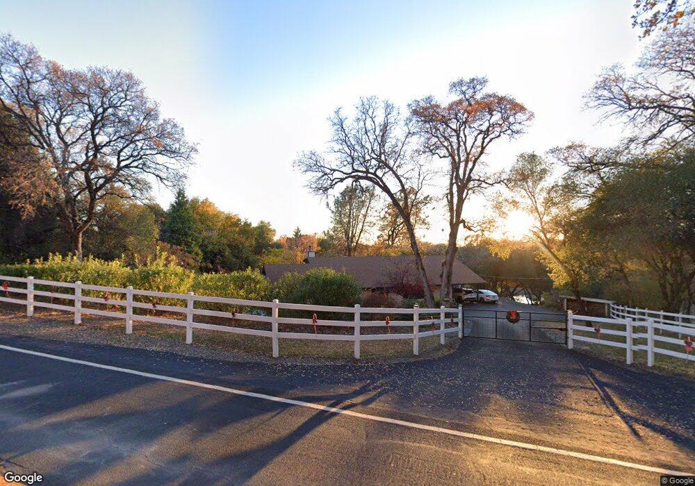
1100 State Highway 49 Placerville, CA 95667
Estimated Value: $443,000 - $587,000
3
Beds
3
Baths
2,060
Sq Ft
$254/Sq Ft
Est. Value
About This Home
This home is located at 1100 State Highway 49, Placerville, CA 95667 and is currently estimated at $523,248, approximately $254 per square foot. 1100 State Highway 49 is a home located in El Dorado County with nearby schools including Sutter's Mill Elementary School, Gold Trail School, and El Dorado High School.
Ownership History
Date
Name
Owned For
Owner Type
Purchase Details
Closed on
Aug 27, 2018
Sold by
Morrison Lorraine M
Bought by
Morrison Lorraine M
Current Estimated Value
Purchase Details
Closed on
Jan 27, 2012
Sold by
Morrison Lorraine M
Bought by
Morrison Lorraine M
Purchase Details
Closed on
Jul 17, 1993
Sold by
Morrison Donald Dion and Morrison Lorraine M
Bought by
Morrison Donald D and Morrison Lorraine M
Create a Home Valuation Report for This Property
The Home Valuation Report is an in-depth analysis detailing your home's value as well as a comparison with similar homes in the area
Home Values in the Area
Average Home Value in this Area
Purchase History
| Date | Buyer | Sale Price | Title Company |
|---|---|---|---|
| Morrison Lorraine M | -- | None Available | |
| Morrison Lorraine M | -- | None Available | |
| Morrison Donald D | -- | -- |
Source: Public Records
Tax History Compared to Growth
Tax History
| Year | Tax Paid | Tax Assessment Tax Assessment Total Assessment is a certain percentage of the fair market value that is determined by local assessors to be the total taxable value of land and additions on the property. | Land | Improvement |
|---|---|---|---|---|
| 2025 | $1,941 | $186,433 | $43,499 | $142,934 |
| 2024 | $1,941 | $182,779 | $42,647 | $140,132 |
| 2023 | $1,903 | $179,196 | $41,811 | $137,385 |
| 2022 | $1,876 | $175,684 | $40,992 | $134,692 |
| 2021 | $1,851 | $172,240 | $40,189 | $132,051 |
| 2020 | $1,826 | $170,474 | $39,777 | $130,697 |
| 2019 | $1,799 | $167,133 | $38,998 | $128,135 |
| 2018 | $1,750 | $163,857 | $38,234 | $125,623 |
| 2017 | $1,720 | $160,645 | $37,485 | $123,160 |
| 2016 | $1,694 | $157,496 | $36,750 | $120,746 |
| 2015 | $1,639 | $155,132 | $36,199 | $118,933 |
| 2014 | $1,639 | $152,095 | $35,491 | $116,604 |
Source: Public Records
Map
Nearby Homes
- 6556 Gold Hill Rd
- 9001 Riverwood Dr
- 8641 Riverwood Dr
- 1095 Cold Springs Rd
- 1835 Sundown Trail
- 6000 Gold Hill Rd
- 2195 Dias Dr
- 1140 Cold Springs Rd
- 1525 Cold Springs Rd Unit 61
- 1525 Cold Springs Rd Unit 48
- 1525 Cold Springs Rd Unit 97
- 6498 American Way
- 7155 Stewart Mine Rd
- 6060 Gold Hill Rd
- 7145 Stewart Mine Rd
- 6646 Sourdough Trail
- 2446 Prado Vista Rd
- 0 Browns Rd Unit 225114992
- 5661 Thompson Hill Rd
- 2620 Colin Rd
- 1090 State Highway 49
- 1078 State Highway 49
- 1074 California 49
- 1074 State Highway 49
- 1066 State Highway 49
- 1079 State Highway 49
- 1121 State Highway 49
- 1080 Woodridge Rd
- 1074 Coloma Rd
- 1090 Woodridge Rd
- 1050 State Highway 49
- 1064 Woodridge Rd
- 1050 Woodside Ln
- 1050 Woodridge Rd
- 1092 Woodside Ln
- 1031 State Highway 49
- 1031 California 49
- 6620 Baralee Ln
- 1049 Woodside Ln