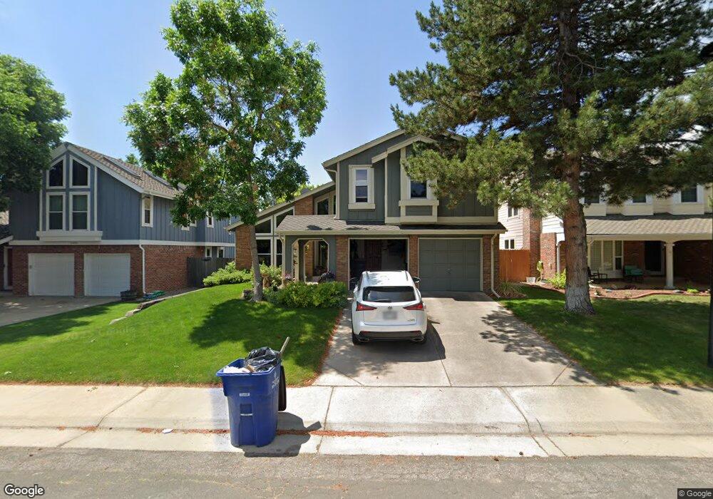
11012 Main Range Trail Littleton, CO 80127
Estimated Value: $748,835 - $857,000
3
Beds
5
Baths
2,694
Sq Ft
$302/Sq Ft
Est. Value
About This Home
This home is located at 11012 Main Range Trail, Littleton, CO 80127 and is currently estimated at $812,459, approximately $301 per square foot. 11012 Main Range Trail is a home located in Jefferson County with nearby schools including Shaffer Elementary School, Falcon Bluffs Middle School, and Chatfield High School.
Ownership History
Date
Name
Owned For
Owner Type
Purchase Details
Closed on
Feb 1, 2018
Sold by
Mcilvennan Sue E
Bought by
Mcilvennan Sue E and Mcilvennan Leonard H
Current Estimated Value
Purchase Details
Closed on
Feb 11, 2010
Sold by
Mcilvennan Leonard H and Mcilvennan Sue E
Bought by
Mcilvennan Sue E
Purchase Details
Closed on
Mar 30, 1994
Sold by
Glaser Joel Steven and Glaser Susan Kay
Bought by
Mcilvennan Leonard H and Mcilvennan Sue E
Home Financials for this Owner
Home Financials are based on the most recent Mortgage that was taken out on this home.
Original Mortgage
$135,000
Interest Rate
7.05%
Create a Home Valuation Report for This Property
The Home Valuation Report is an in-depth analysis detailing your home's value as well as a comparison with similar homes in the area
Home Values in the Area
Average Home Value in this Area
Purchase History
| Date | Buyer | Sale Price | Title Company |
|---|---|---|---|
| Mcilvennan Sue E | -- | None Available | |
| Mcilvennan Sue E | -- | None Available | |
| Mcilvennan Leonard H | $184,900 | -- |
Source: Public Records
Mortgage History
| Date | Status | Borrower | Loan Amount |
|---|---|---|---|
| Closed | Mcilvennan Leonard H | $135,000 |
Source: Public Records
Tax History Compared to Growth
Tax History
| Year | Tax Paid | Tax Assessment Tax Assessment Total Assessment is a certain percentage of the fair market value that is determined by local assessors to be the total taxable value of land and additions on the property. | Land | Improvement |
|---|---|---|---|---|
| 2024 | $3,588 | $41,281 | $10,254 | $31,027 |
| 2023 | $3,702 | $41,281 | $10,254 | $31,027 |
| 2022 | $3,036 | $34,689 | $8,348 | $26,341 |
| 2021 | $3,856 | $35,688 | $8,589 | $27,099 |
| 2020 | $3,420 | $31,757 | $6,692 | $25,065 |
| 2019 | $3,379 | $31,757 | $6,692 | $25,065 |
| 2018 | $3,037 | $27,566 | $6,954 | $20,612 |
| 2017 | $2,825 | $27,566 | $6,954 | $20,612 |
| 2016 | $3,063 | $28,289 | $8,429 | $19,860 |
| 2015 | $2,745 | $28,289 | $8,429 | $19,860 |
| 2014 | $2,745 | $23,887 | $6,685 | $17,202 |
Source: Public Records
Map
Nearby Homes
- 11235 San Joaquin Ridge
- 7825 Sand Mountain
- 7646 S Bear Mountain
- 10645 W Sundance Mountain
- 8140 S Storm King Peak
- 7462 S Quail Cir Unit 426
- 7433 S Quail Cir Unit 1924
- 8196 S Spring Creek Pass
- 7413 S Quail Cir Unit 1422
- 7413 S Quail Cir Unit 1435
- 11673 Elk Head Range Rd
- 10866 W Half Moon Pass
- 11703 Elk Head Range Rd
- 11710 Elk Head Range Rd
- 10685 W Apishapa Pass
- 10371 W Indore Dr
- 10328 W Crestone Mountain
- 11872 Elk Head Range Rd
- 10606 Park Mountain W
- 7369 S Gore Range Rd Unit 208
- 11002 Main Range Trail
- 11022 Main Range Trail
- 10992 Main Range Trail
- 11042 Main Range Trail
- 7713 Gunsight Pass
- 7723 Gunsight Pass
- 7652 Sunshine Peak
- 11072 Main Range Trail
- 7707 Gunsight Pass
- 10982 Main Range Trail
- 7653 Sunshine Peak
- 7726 Gold Dust Peak
- 10972 Main Range Trail
- 11132 Main Range Trail
- 7642 Sunshine Peak
- 7657 Snowmass Mountain
- 7736 Gold Dust Peak
- 7643 Sunshine Peak
- 10962 Main Range Trail
- 7716 Gold Dust Peak