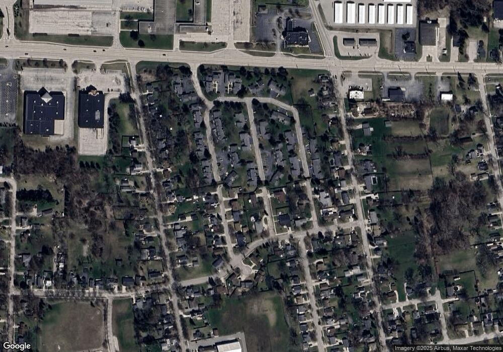
1103 Harbor Cove Unit 50 Bay City, MI 48706
Estimated Value: $150,000 - $160,321
3
Beds
2
Baths
1,243
Sq Ft
$125/Sq Ft
Est. Value
About This Home
This home is located at 1103 Harbor Cove Unit 50, Bay City, MI 48706 and is currently estimated at $155,580, approximately $125 per square foot. 1103 Harbor Cove Unit 50 is a home located in Bay County with nearby schools including Linsday Elementary School, Handy Middle School, and Bay City Central High School.
Ownership History
Date
Name
Owned For
Owner Type
Purchase Details
Closed on
Nov 16, 2004
Sold by
Roenicke Calvin E and Roenicke Rachel S
Bought by
Taylor Donna R
Current Estimated Value
Home Financials for this Owner
Home Financials are based on the most recent Mortgage that was taken out on this home.
Original Mortgage
$40,900
Interest Rate
5.91%
Mortgage Type
Balloon
Purchase Details
Closed on
Mar 15, 1995
Sold by
Witzke Caroline S
Bought by
Roenicke Calvin E and Roenicke Rachel S
Create a Home Valuation Report for This Property
The Home Valuation Report is an in-depth analysis detailing your home's value as well as a comparison with similar homes in the area
Home Values in the Area
Average Home Value in this Area
Purchase History
| Date | Buyer | Sale Price | Title Company |
|---|---|---|---|
| Taylor Donna R | $95,900 | -- | |
| Roenicke Calvin E | $83,000 | -- |
Source: Public Records
Mortgage History
| Date | Status | Borrower | Loan Amount |
|---|---|---|---|
| Closed | Taylor Donna R | $40,900 |
Source: Public Records
Tax History Compared to Growth
Tax History
| Year | Tax Paid | Tax Assessment Tax Assessment Total Assessment is a certain percentage of the fair market value that is determined by local assessors to be the total taxable value of land and additions on the property. | Land | Improvement |
|---|---|---|---|---|
| 2025 | $2,102 | $73,800 | $0 | $0 |
| 2024 | $1,730 | $67,250 | $0 | $0 |
| 2023 | $1,647 | $59,500 | $0 | $0 |
| 2022 | $1,892 | $46,550 | $0 | $0 |
| 2021 | $1,779 | $43,450 | $43,450 | $0 |
| 2020 | $1,892 | $40,900 | $40,900 | $0 |
| 2019 | $1,850 | $40,300 | $0 | $0 |
| 2018 | $1,832 | $38,900 | $0 | $0 |
| 2017 | $1,792 | $38,100 | $0 | $0 |
| 2016 | $1,783 | $36,200 | $0 | $36,200 |
| 2015 | $1,901 | $36,300 | $0 | $36,300 |
| 2014 | $1,901 | $39,000 | $0 | $39,000 |
Source: Public Records
Map
Nearby Homes
- 1110 Anchor Way
- 707 N Sophia St
- 507 N Bangor St
- 1103 Bradfield St
- 602 Transit St
- 801 Marchand St
- 1109 Leng St
- 304 Curtis St
- 117 E Smith St
- 313 McDonald St
- 305 Marston St
- 1106 State St
- 203 Elm St
- 204 Elm St
- 1707 N Henry St
- 307 Mosher St
- 23 Old Kawkawlin Rd
- 25 State Park Dr
- 1012 Litchfield St
- 17 Cove Dr
- 1105 Harbor Cove
- 1101 Harbor Cove Unit 49
- 1107 Harbor Cove
- 1104 Nantucket Dr Unit 40
- 1102 Nantucket Dr Unit 41
- 1100 Nantucket Dr
- 1106 Nantucket Dr Unit 39
- 1100 Harbor Cove Unit 43
- 1016 Sterling Ct
- 1009 Federal Place
- 1109 Harbor Cove
- 1102 Harbor Cove
- 1104 Harbor Cove Unit 45
- 1110 Nantucket Dr
- 1106 Harbor Cove Unit 46
- 1108 Harbor Cove
- 1010 Federal Place
- 1012 Sterling Ct
- 1110 Harbor Cove
- 1112 Harbor Cove
