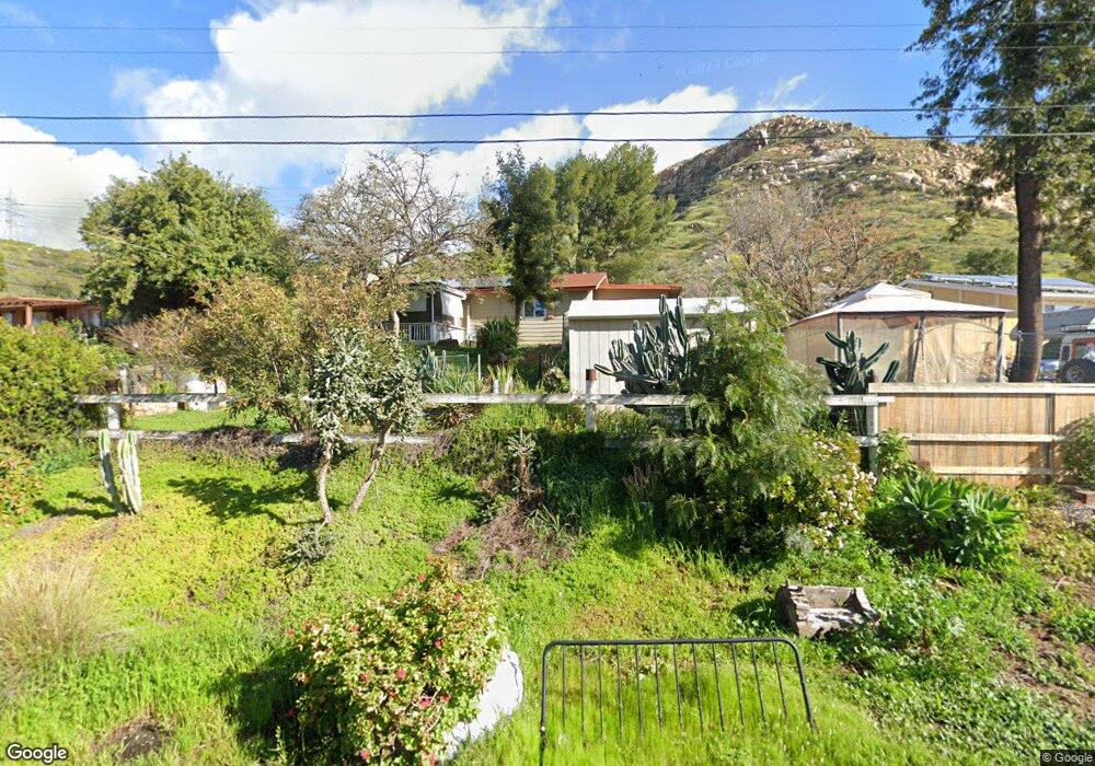
11032 Fillbrook Dr Lakeside, CA 92040
Estimated Value: $691,000 - $1,017,000
3
Beds
1
Bath
1,298
Sq Ft
$629/Sq Ft
Est. Value
About This Home
This home is located at 11032 Fillbrook Dr, Lakeside, CA 92040 and is currently estimated at $816,798, approximately $629 per square foot. 11032 Fillbrook Dr is a home located in San Diego County with nearby schools including Lakeside Farms Elementary School, Tierra Del Sol Middle School, and El Capitan High School.
Ownership History
Date
Name
Owned For
Owner Type
Purchase Details
Closed on
Jun 16, 2020
Sold by
Lehre Guenter and Lehre Ruth
Bought by
Lehre Guenter and Lehre Ruth
Current Estimated Value
Home Financials for this Owner
Home Financials are based on the most recent Mortgage that was taken out on this home.
Original Mortgage
$735,000
Interest Rate
3.76%
Mortgage Type
Reverse Mortgage Home Equity Conversion Mortgage
Create a Home Valuation Report for This Property
The Home Valuation Report is an in-depth analysis detailing your home's value as well as a comparison with similar homes in the area
Home Values in the Area
Average Home Value in this Area
Purchase History
| Date | Buyer | Sale Price | Title Company |
|---|---|---|---|
| Lehre Guenter | -- | Fnc Title Of California |
Source: Public Records
Mortgage History
| Date | Status | Borrower | Loan Amount |
|---|---|---|---|
| Closed | Lehre Guenter | $735,000 |
Source: Public Records
Tax History
| Year | Tax Paid | Tax Assessment Tax Assessment Total Assessment is a certain percentage of the fair market value that is determined by local assessors to be the total taxable value of land and additions on the property. | Land | Improvement |
|---|---|---|---|---|
| 2025 | $1,994 | $164,487 | $89,151 | $75,336 |
| 2024 | $1,994 | $161,262 | $87,403 | $73,859 |
| 2023 | $1,923 | $158,101 | $85,690 | $72,411 |
| 2022 | $1,889 | $155,002 | $84,010 | $70,992 |
| 2021 | $1,858 | $151,963 | $82,363 | $69,600 |
| 2020 | $1,837 | $150,406 | $81,519 | $68,887 |
| 2019 | $1,802 | $147,458 | $79,921 | $67,537 |
| 2018 | $1,779 | $144,567 | $78,354 | $66,213 |
| 2017 | $822 | $141,733 | $76,818 | $64,915 |
| 2016 | $1,702 | $138,955 | $75,312 | $63,643 |
| 2015 | $1,692 | $136,869 | $74,181 | $62,688 |
| 2014 | $1,609 | $134,189 | $72,728 | $61,461 |
Source: Public Records
Map
Nearby Homes
- 0 Baron Rd Unit PTP2600096
- 10880 Highway 67 Unit SPC 74
- 10880 Highway 67 Unit 58
- 000 Wildcat Canyon Rd Unit 8
- 10906 Serena Ln
- 12923 Mapleview St Unit 6
- 12710 Laurel St Unit 113
- 12750 Laurel St Unit 510
- 12750 Laurel St Unit 504
- 12212 Rockstream Rd
- 10032 Tamil Rd
- 10025 Tamil Rd
- 0 Via Trevi Unit 168 200032504
- 0 Via Trevi Unit 164 200032496
- 0 Via Trevi Unit 165 200032498
- 10019 Tamil Rd
- 12553 Mapleview St Unit 8
- 12553 Mapleview St Unit 28
- 11977 Demi Lee Ln
- 12049 Coping Place
- 11044 Fillbrook Dr
- 11012 Fillbrook Dr
- 11008 Fillbrook Dr
- 11029 Fillbrook Dr
- 11052 Fillbrook Dr
- 11019 Fillbrook Dr
- 10984 Fillbrook Dr
- 11039 Fillbrook Dr
- 11045 Fillbrook Dr
- 10976 Fillbrook Dr
- 11074 Fillbrook Dr
- 10987 Fillbrook Dr
- 11041 Fillbrook Dr
- 10970 Fillbrook Dr
- 12822 Willow Rd
- 10963 Fillbrook Dr
- 12936 Willow Rd
- 12744 Willow Rd
- 10966 Fillbrook Dr
- 12930 Willow Rd
Your Personal Tour Guide
Ask me questions while you tour the home.