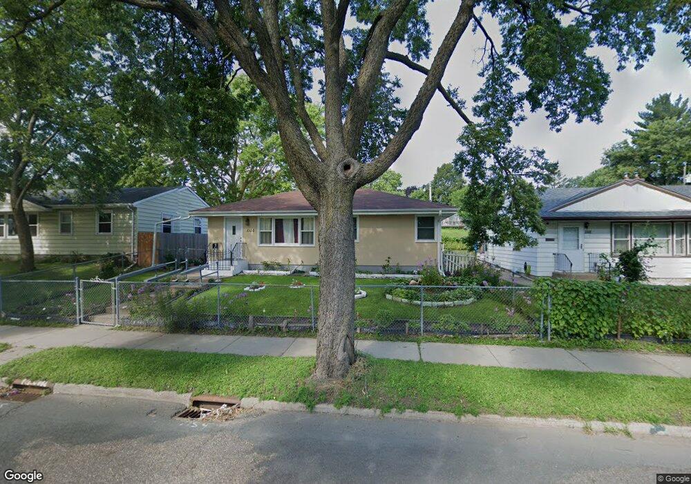
1105 1105 Dale St N St. Paul, MN 55117
Como Park NeighborhoodEstimated Value: $263,000 - $308,000
3
Beds
2
Baths
612
Sq Ft
$483/Sq Ft
Est. Value
About This Home
This home is located at 1105 1105 Dale St N, St. Paul, MN 55117 and is currently estimated at $295,460, approximately $482 per square foot. 1105 1105 Dale St N is a home located in Ramsey County with nearby schools including Como Park Elementary School, Murray Middle School, and Como Park Senior High School.
Ownership History
Date
Name
Owned For
Owner Type
Purchase Details
Closed on
Oct 8, 2014
Sold by
Mak Reeno
Bought by
Clement Terry and Clement Reetawantie
Current Estimated Value
Home Financials for this Owner
Home Financials are based on the most recent Mortgage that was taken out on this home.
Original Mortgage
$134,900
Outstanding Balance
$103,534
Interest Rate
4.13%
Mortgage Type
New Conventional
Estimated Equity
$191,926
Purchase Details
Closed on
Nov 7, 2013
Sold by
Secretary Of Housing & Urban Development
Bought by
Mak Reeno
Purchase Details
Closed on
Aug 10, 2012
Sold by
Bank Of America Na
Bought by
The Secretary Of Housing & Urban Develop
Purchase Details
Closed on
Oct 14, 2008
Sold by
Avelo Mortgage Llc
Bought by
Taylor Landon
Purchase Details
Closed on
Dec 16, 1997
Sold by
Long Donna and Johnson Nancy L
Bought by
Her Cha Pao and Yang Houa
Create a Home Valuation Report for This Property
The Home Valuation Report is an in-depth analysis detailing your home's value as well as a comparison with similar homes in the area
Home Values in the Area
Average Home Value in this Area
Purchase History
| Date | Buyer | Sale Price | Title Company |
|---|---|---|---|
| Clement Terry | $154,442 | Partners Title | |
| Mak Reeno | -- | Title Recording Services Inc | |
| The Secretary Of Housing & Urban Develop | -- | None Available | |
| Taylor Landon | $79,000 | -- | |
| Her Cha Pao | $73,700 | -- |
Source: Public Records
Mortgage History
| Date | Status | Borrower | Loan Amount |
|---|---|---|---|
| Open | Clement Terry | $134,900 |
Source: Public Records
Tax History Compared to Growth
Tax History
| Year | Tax Paid | Tax Assessment Tax Assessment Total Assessment is a certain percentage of the fair market value that is determined by local assessors to be the total taxable value of land and additions on the property. | Land | Improvement |
|---|---|---|---|---|
| 2025 | $4,116 | $294,900 | $33,900 | $261,000 |
| 2023 | $4,116 | $273,500 | $33,900 | $239,600 |
| 2022 | $3,428 | $266,100 | $33,900 | $232,200 |
| 2021 | $3,250 | $224,200 | $33,900 | $190,300 |
| 2020 | $3,326 | $220,900 | $33,900 | $187,000 |
| 2019 | $2,994 | $211,600 | $33,900 | $177,700 |
| 2018 | $2,564 | $190,800 | $33,900 | $156,900 |
| 2017 | $1,886 | $171,900 | $27,100 | $144,800 |
| 2016 | $1,720 | $0 | $0 | $0 |
| 2015 | $996 | $125,000 | $12,400 | $112,600 |
| 2014 | $1,844 | $0 | $0 | $0 |
Source: Public Records
Map
Nearby Homes
- 1063 Dale St N
- 1049 Kent St
- 705 Como Ave
- 569 Hatch Ave
- 740 Como Ave
- 352 Como Ave
- 1104 MacKubin St
- 1241 Maywood St
- 1165 Norton St
- 766 Maryland Ave W
- 1176 Norton St
- 1175 Arundel St
- 552 Burgess St
- tbd MacKubin St
- 1005 Como Blvd E
- 1040 Cumberland St
- 1300 Schletti St
- 989 Barrett St
- 1083 Western Ave N
- 1342 Dale St N
- 1105 Dale St N
- 1111 Dale St N
- 1101 Dale St N
- 1117 Dale St N
- 1097 Dale St N
- 20 Maywood Place
- 24 Maywood Place
- 16 Maywood Place
- 1123 1123 Dale St N
- 1123 Dale St N
- 1091 1091 Dale St N
- 1091 Dale St N
- 28 Maywood Place
- 12 Maywood Place
- 8 Maywood Place
- 1129 Dale St N
- 627 Jessamine Ave W
- 1100 Dale St N
- 1100 Dale St N Unit 2
- 32 Maywood Place