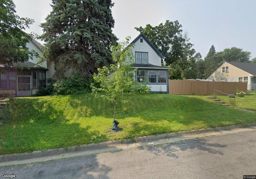
1108 Euclid St Saint Paul, MN 55106
Dayton's Bluff NeighborhoodEstimated Value: $230,000 - $262,644
3
Beds
1
Bath
1,336
Sq Ft
$186/Sq Ft
Est. Value
About This Home
This home is located at 1108 Euclid St, Saint Paul, MN 55106 and is currently estimated at $248,661, approximately $186 per square foot. 1108 Euclid St is a home located in Ramsey County with nearby schools including Dayton's Bluff Achievement Plus Elementary School, Battle Creek Middle School, and Harding Senior High School.
Ownership History
Date
Name
Owned For
Owner Type
Purchase Details
Closed on
Jul 31, 2020
Sold by
Negusse Nessib S and Fundusa Kassech
Bought by
Tuckenhagen Anthony Thomas
Current Estimated Value
Home Financials for this Owner
Home Financials are based on the most recent Mortgage that was taken out on this home.
Original Mortgage
$194,342
Outstanding Balance
$172,713
Interest Rate
3.1%
Mortgage Type
FHA
Estimated Equity
$75,948
Purchase Details
Closed on
Aug 27, 2014
Sold by
Alexander Ann Marie and Flesher Jeanne Rita
Bought by
Negusse Nessib S
Home Financials for this Owner
Home Financials are based on the most recent Mortgage that was taken out on this home.
Original Mortgage
$127,645
Interest Rate
4%
Mortgage Type
FHA
Create a Home Valuation Report for This Property
The Home Valuation Report is an in-depth analysis detailing your home's value as well as a comparison with similar homes in the area
Home Values in the Area
Average Home Value in this Area
Purchase History
| Date | Buyer | Sale Price | Title Company |
|---|---|---|---|
| Tuckenhagen Anthony Thomas | $200,000 | Legacy Title | |
| Negusse Nessib S | $133,939 | Partners Title |
Source: Public Records
Mortgage History
| Date | Status | Borrower | Loan Amount |
|---|---|---|---|
| Open | Tuckenhagen Anthony Thomas | $194,342 | |
| Previous Owner | Negusse Nessib S | $127,645 |
Source: Public Records
Tax History Compared to Growth
Tax History
| Year | Tax Paid | Tax Assessment Tax Assessment Total Assessment is a certain percentage of the fair market value that is determined by local assessors to be the total taxable value of land and additions on the property. | Land | Improvement |
|---|---|---|---|---|
| 2025 | $3,404 | $255,500 | $41,400 | $214,100 |
| 2023 | $3,404 | $229,800 | $26,500 | $203,300 |
| 2022 | $3,066 | $227,600 | $26,500 | $201,100 |
| 2021 | $2,642 | $203,000 | $26,500 | $176,500 |
| 2020 | $2,766 | $183,900 | $26,500 | $157,400 |
| 2019 | $2,502 | $180,100 | $26,500 | $153,600 |
| 2018 | $2,250 | $163,100 | $26,500 | $136,600 |
| 2017 | $1,730 | $148,000 | $26,500 | $121,500 |
| 2016 | $1,548 | $0 | $0 | $0 |
| 2015 | $962 | $114,300 | $23,200 | $91,100 |
| 2014 | $708 | $0 | $0 | $0 |
Source: Public Records
Map
Nearby Homes
- 1100 Euclid St
- 1116 Euclid St
- 1096 Euclid St
- 1116 1116 Euclid-Street-
- 1105 Wilson Ave
- 1109 Wilson Ave
- 1109 1109 Wilson-Avenue-
- 1090 Euclid St
- 1090 1090 Euclid-Street-
- 1095 Wilson Ave
- 1103 Euclid St
- 1109 Euclid St
- 1115 Euclid St
- 1086 Euclid St
- 1091 Wilson Ave
- 1093 Euclid St
- 1093 1093 Euclid-Street-
- 1084 1084 Euclid-Street-
- 1084 Euclid St
- 1083 Wilson Ave