11085 U S Highway 2 W Marion, MT 59925
Estimated Value: $1,064,000 - $1,120,091
4
Beds
4
Baths
3,373
Sq Ft
$326/Sq Ft
Est. Value
About This Home
This home is located at 11085 U S Highway 2 W, Marion, MT 59925 and is currently estimated at $1,100,030, approximately $326 per square foot. 11085 U S Highway 2 W is a home located in Flathead County with nearby schools including Marion Elementary School, Marion Junior High School, and Flathead High School.
Ownership History
Date
Name
Owned For
Owner Type
Purchase Details
Closed on
Oct 25, 2010
Sold by
Fannie Mae
Bought by
Mercurio Gregory Alan and Mercurio Kathryn L
Current Estimated Value
Home Financials for this Owner
Home Financials are based on the most recent Mortgage that was taken out on this home.
Original Mortgage
$225,000
Outstanding Balance
$148,905
Interest Rate
4.33%
Mortgage Type
New Conventional
Estimated Equity
$951,125
Purchase Details
Closed on
Jul 8, 2010
Sold by
Larson Kevin D
Bought by
Federal National Mortgage Association
Create a Home Valuation Report for This Property
The Home Valuation Report is an in-depth analysis detailing your home's value as well as a comparison with similar homes in the area
Home Values in the Area
Average Home Value in this Area
Purchase History
| Date | Buyer | Sale Price | Title Company |
|---|---|---|---|
| Mercurio Gregory Alan | -- | First American Title Company | |
| Federal National Mortgage Association | $299,956 | First American Title Ins Co |
Source: Public Records
Mortgage History
| Date | Status | Borrower | Loan Amount |
|---|---|---|---|
| Open | Mercurio Gregory Alan | $225,000 |
Source: Public Records
Tax History Compared to Growth
Tax History
| Year | Tax Paid | Tax Assessment Tax Assessment Total Assessment is a certain percentage of the fair market value that is determined by local assessors to be the total taxable value of land and additions on the property. | Land | Improvement |
|---|---|---|---|---|
| 2025 | $3,279 | $892,556 | $0 | $0 |
| 2024 | $3,749 | $706,344 | $0 | $0 |
| 2023 | $3,798 | $706,344 | $0 | $0 |
| 2022 | $3,674 | $525,634 | $0 | $0 |
| 2021 | $3,912 | $525,634 | $0 | $0 |
| 2020 | $3,393 | $436,379 | $0 | $0 |
| 2019 | $3,340 | $436,379 | $0 | $0 |
| 2018 | $2,959 | $376,769 | $0 | $0 |
| 2017 | $2,995 | $376,769 | $0 | $0 |
| 2016 | $2,638 | $354,229 | $0 | $0 |
| 2015 | $3,560 | $478,809 | $0 | $0 |
| 2014 | $2,990 | $249,587 | $0 | $0 |
Source: Public Records
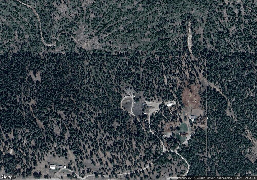
Map
Nearby Homes
- 11620 US Highway 2 W
- 182 New Timber Ridge Trail
- 200 Lakeview Terrace
- 152 Lakeview Terrace
- 826 Mcgregor Ln
- 1160 S McGregor Lake Rd
- 200 Hubbart Dam Rd
- Nhn (Lot 4) Lower Lost Prairie Rd
- Nhn (Lot 1) Lower Lost Prairie Rd
- 680 Lower Lost Prairie Rd
- 178 Sickler Creek Rd
- 855 Badger Hollow Trail
- 148 Badger Hollow Trail
- NHN View Ridge
- 9330 US Highway 2 W
- 327 Lower Lost Prairie Rd
- 675 Griz Ln
- 315 Osprey Way
- 443 McGregor Meadows Rd W
- 155 Wright Way
- 11085 Us Highway 2 W
- 11055 Us Highway 2 W
- 11055 Us Highway 2 W
- 11125 Us Highway 2 W
- 11175 Us Highway 2 W
- 162 McGregor Meadows Rd W
- 10955 Us Highway 2 W
- 552 McGregor Meadows Rd W
- 11190 U S Highway 2 W
- 11245 Us Highway 2 W
- 165 Bear Cat Trail
- 153 Bear Cat Trail
- 187 Bear Cat Trail
- 10855 U S Highway 2 W
- 10855 Us Highway 2 W
- 8522 Marion Hills Rd
- 219 Bear Cat Trail
- Nhn McGregor Meadows Rd W
- 118 Bear Cat Trail
- 11325 Us Highway 2 W