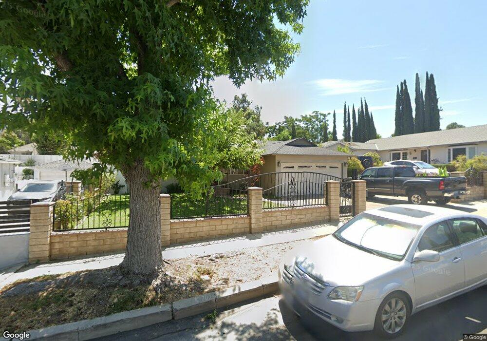
11100 Leolang Ave Sunland, CA 91040
Sunland NeighborhoodEstimated Value: $920,518 - $1,037,000
3
Beds
2
Baths
1,485
Sq Ft
$662/Sq Ft
Est. Value
About This Home
This home is located at 11100 Leolang Ave, Sunland, CA 91040 and is currently estimated at $983,630, approximately $662 per square foot. 11100 Leolang Ave is a home located in Los Angeles County with nearby schools including Mt. Gleason Middle School, Verdugo Hills Senior High School, and Plainview Academic Charter Academy.
Ownership History
Date
Name
Owned For
Owner Type
Purchase Details
Closed on
Jul 19, 1995
Sold by
Burt Brian D
Bought by
Evans Linda E
Current Estimated Value
Create a Home Valuation Report for This Property
The Home Valuation Report is an in-depth analysis detailing your home's value as well as a comparison with similar homes in the area
Home Values in the Area
Average Home Value in this Area
Purchase History
| Date | Buyer | Sale Price | Title Company |
|---|---|---|---|
| Evans Linda E | -- | Gateway Title |
Source: Public Records
Tax History Compared to Growth
Tax History
| Year | Tax Paid | Tax Assessment Tax Assessment Total Assessment is a certain percentage of the fair market value that is determined by local assessors to be the total taxable value of land and additions on the property. | Land | Improvement |
|---|---|---|---|---|
| 2025 | $3,432 | $272,582 | $112,837 | $159,745 |
| 2024 | $3,432 | $267,238 | $110,625 | $156,613 |
| 2023 | $3,368 | $261,999 | $108,456 | $153,543 |
| 2022 | $3,216 | $256,863 | $106,330 | $150,533 |
| 2021 | $3,170 | $251,828 | $104,246 | $147,582 |
| 2019 | $3,077 | $244,360 | $101,155 | $143,205 |
| 2018 | $2,960 | $239,570 | $99,172 | $140,398 |
| 2016 | $2,814 | $230,270 | $95,322 | $134,948 |
| 2015 | $2,773 | $226,812 | $93,891 | $132,921 |
| 2014 | $2,789 | $222,370 | $92,052 | $130,318 |
Source: Public Records
Map
Nearby Homes
- 0 Rim Canyon Rd Unit SR25228396
- 7815 Denivelle Rd
- 7844 Rim Canyon Rd
- 8110 Brownstone St
- 7848 Forsythe St
- 7755 Forsythe St
- 11034 Scoville Ave
- 12159 Oro Vista Ave
- 10917 Tujunga Canyon Blvd
- 10623 Woodward Ave
- 11458 Garret Place
- 7851 Fenwick St
- 11009 Quill Ave
- 8230 Hillrose St
- 11521 Dellmont Dr
- 7541 Hillrose St
- 11040 Renaissance Dr
- 10529 Mount Gleason Ave
- 10704 Oro Vista Ave
- 10554 Plainview Ave
- 11108 Leolang Ave
- 11062 Leolang Ave
- 11101 Whitegate Ave
- 11109 Whitegate Ave
- 11063 Whitegate Ave
- 11114 Leolang Ave
- 11107 Whitegate Ave
- 11054 Leolang Ave
- 11101 Leolang Ave
- 11109 Leolang Ave
- 11057 Whitegate Ave
- 11061 Leolang Ave
- 11115 Whitegate Ave
- 11053 Leolang Ave
- 11051 Whitegate Ave
- 11120 Leolang Ave
- 11115 Leolang Ave
- 11048 Leolang Ave
- 11051 Leolang Ave
- 11123 Whitegate Ave