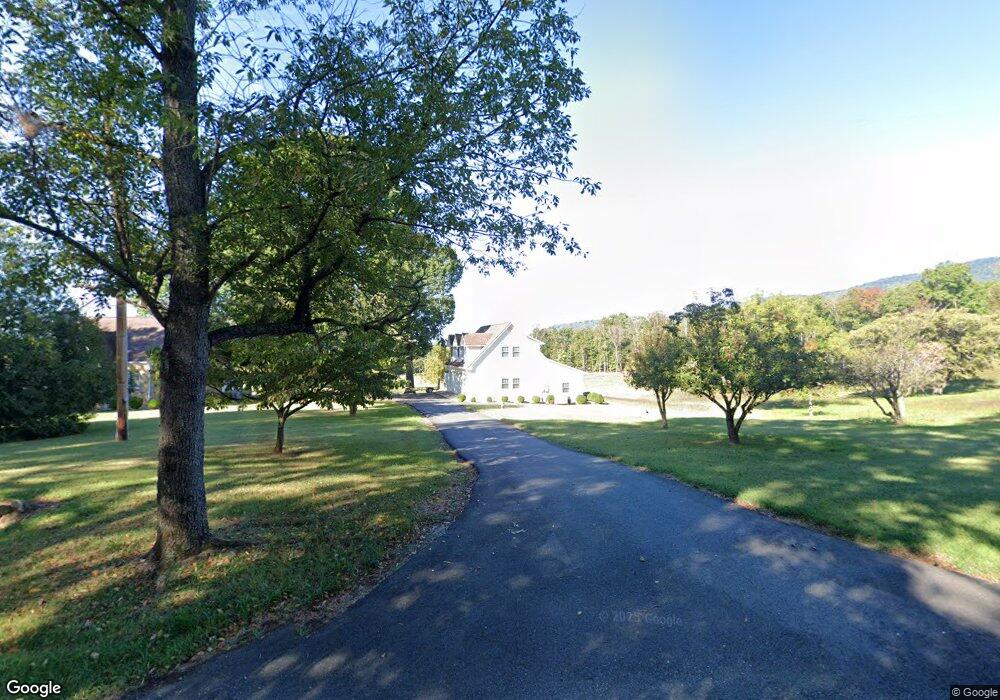
1111 High Peak Rd Monroe, VA 24574
Estimated Value: $355,000 - $491,000
3
Beds
2
Baths
1,823
Sq Ft
$233/Sq Ft
Est. Value
About This Home
This home is located at 1111 High Peak Rd, Monroe, VA 24574 and is currently estimated at $424,621, approximately $232 per square foot. 1111 High Peak Rd is a home located in Amherst County with nearby schools including Elon Elementary School, Monelison Middle School, and Amherst County High School.
Ownership History
Date
Name
Owned For
Owner Type
Purchase Details
Closed on
Aug 2, 2024
Sold by
Watts Aubrey V and Watts Emily W
Bought by
Central Virginia Services Inc
Current Estimated Value
Purchase Details
Closed on
Jun 10, 2003
Sold by
Watts Aubrey V and Watts Emily W
Bought by
Chestnut Meadows Farm Llc
Create a Home Valuation Report for This Property
The Home Valuation Report is an in-depth analysis detailing your home's value as well as a comparison with similar homes in the area
Home Values in the Area
Average Home Value in this Area
Purchase History
| Date | Buyer | Sale Price | Title Company |
|---|---|---|---|
| Central Virginia Services Inc | -- | None Listed On Document | |
| Chestnut Meadows Farm Llc | -- | None Available |
Source: Public Records
Tax History Compared to Growth
Tax History
| Year | Tax Paid | Tax Assessment Tax Assessment Total Assessment is a certain percentage of the fair market value that is determined by local assessors to be the total taxable value of land and additions on the property. | Land | Improvement |
|---|---|---|---|---|
| 2025 | $1,920 | $314,700 | $115,200 | $199,500 |
| 2024 | $1,920 | $314,700 | $115,200 | $199,500 |
| 2023 | $1,920 | $314,700 | $115,200 | $199,500 |
| 2022 | $1,920 | $309,700 | $115,200 | $194,500 |
| 2021 | $1,889 | $309,700 | $115,200 | $194,500 |
| 2020 | $1,889 | $304,700 | $115,200 | $189,500 |
| 2019 | $1,890 | $309,800 | $121,200 | $188,600 |
| 2018 | $1,890 | $309,800 | $121,200 | $188,600 |
| 2017 | $1,890 | $309,800 | $121,200 | $188,600 |
| 2016 | $1,890 | $309,800 | $121,200 | $188,600 |
| 2015 | $867 | $309,800 | $121,200 | $188,600 |
| 2014 | $867 | $309,800 | $121,200 | $188,600 |
Source: Public Records
Map
Nearby Homes
- 216 Burford Farm Rd
- 1159 Cedar Gate Rd
- 295 Foxcroft Dr
- 0 Crawford's Hill Place
- 893 Cedar Gate Rd
- 839 Cedar Gate Rd
- 1765 Winesap Rd
- 166 Matohe Rd
- 2294 High Peak Rd
- 621 Cedar Gate Rd
- 203 Ned Brown Rd
- 1481 Winesap Rd
- 138 Magnolia Ln
- 144 Manse Rd
- 202 Ridgecrest Dr
- 171 Faulconerville Dr
- 106 Monacan Park Rd
- 139 Indigo Ridge
- 115 Mattiponi Dr
- 253 Camden Dr
- 1180 High Peak Rd
- 1142 High Peak Rd
- Lot B High Peak Rd
- 139 Shober Ln
- 1031 High Peak Rd
- 1037 High Peak Rd
- 172 Shober Ln
- 158 Shober Ln
- 990 High Peak Rd
- 997 High Peak Rd
- 1251 High Peak Rd
- 1249 High Peak Rd
- 167 Burford Farm Rd
- 971 High Peak Rd
- 1279 High Peak Rd
- 145 Burford Farm Rd
- 966 High Peak Rd
- 961 High Peak Rd
- 114 Burford Farm Rd
- 152 Burford Farm Rd