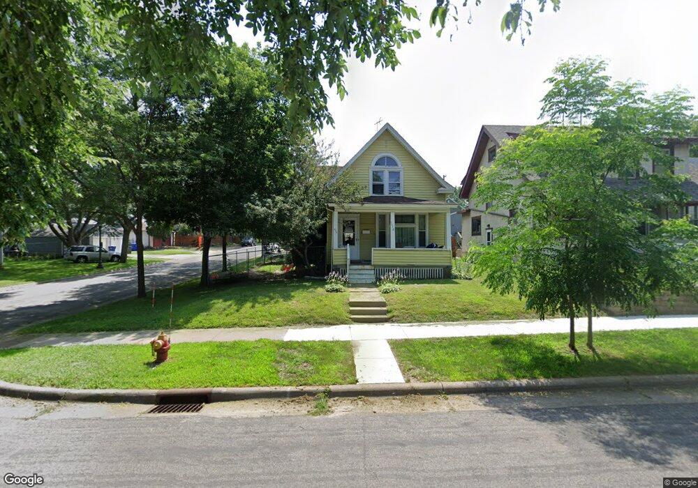
1116 1116 Pacific-Street- St. Paul, MN 55106
Dayton's Bluff NeighborhoodEstimated Value: $238,000 - $276,000
4
Beds
2
Baths
1,814
Sq Ft
$141/Sq Ft
Est. Value
About This Home
This home is located at 1116 1116 Pacific-Street-, St. Paul, MN 55106 and is currently estimated at $256,079, approximately $141 per square foot. 1116 1116 Pacific-Street- is a home located in Ramsey County with nearby schools including Dayton's Bluff Achievement Plus Elementary School, Battle Creek Middle School, and Harding Senior High School.
Ownership History
Date
Name
Owned For
Owner Type
Purchase Details
Closed on
Oct 21, 2013
Sold by
Federal National Mortgage Association
Bought by
Capecchi Christina
Current Estimated Value
Purchase Details
Closed on
Apr 24, 2013
Sold by
Wells Fargo Bank Na
Bought by
Federal National Mortgage Association
Purchase Details
Closed on
Jun 27, 1997
Sold by
Nelson Joseph and Nelson Barbara H
Bought by
Duglas Netfa A
Create a Home Valuation Report for This Property
The Home Valuation Report is an in-depth analysis detailing your home's value as well as a comparison with similar homes in the area
Home Values in the Area
Average Home Value in this Area
Purchase History
| Date | Buyer | Sale Price | Title Company |
|---|---|---|---|
| Capecchi Christina | -- | Title & Closing Inc | |
| Federal National Mortgage Association | -- | None Available | |
| Duglas Netfa A | $70,750 | -- |
Source: Public Records
Tax History Compared to Growth
Tax History
| Year | Tax Paid | Tax Assessment Tax Assessment Total Assessment is a certain percentage of the fair market value that is determined by local assessors to be the total taxable value of land and additions on the property. | Land | Improvement |
|---|---|---|---|---|
| 2025 | $3,764 | $247,200 | $21,500 | $225,700 |
| 2023 | $3,764 | $231,100 | $13,700 | $217,400 |
| 2022 | $3,454 | $222,300 | $13,700 | $208,600 |
| 2021 | $3,202 | $193,300 | $13,700 | $179,600 |
| 2020 | $3,428 | $158,600 | $13,700 | $144,900 |
| 2019 | $3,480 | $166,900 | $13,700 | $153,200 |
| 2018 | $2,408 | $166,900 | $13,700 | $153,200 |
| 2017 | $2,496 | $132,700 | $13,700 | $119,000 |
| 2016 | $2,312 | $0 | $0 | $0 |
| 2015 | $2,660 | $118,700 | $12,000 | $106,700 |
| 2014 | $1,724 | $0 | $0 | $0 |
Source: Public Records
Map
Nearby Homes
- 1102 Pacific St
- 1051 Mclean Ave
- 1076 Wilson Ave
- 1005 Mclean Ave
- 1020 Wilson Ave
- 1097 Euclid St
- 401 Johnson Pkwy
- 995 Wakefield Ave
- 1257 Wilson Ave
- 271 English St
- 1269 Wilson Ave
- 1056 3rd St E
- 1333 Pacific St
- 1320 Wilson Ave
- 980 3rd St E
- 244 Point Douglas Rd N
- 1026 Fremont Ave
- 1363 4th St E
- 212 Maple St
- 530 Forest St
- 1116 Pacific St
- 1114 Pacific St
- 1108 Pacific St
- 1104 1104 Pacific-Street-
- 1118 Pacific St
- 1104 Pacific St
- 1115 Mclean Ave
- 1126 Pacific St
- 1111 Mclean Ave
- 1107 Mclean Ave
- 1121 Mclean Ave
- 1103 Mclean Ave
- 1132 Pacific St
- 1125 Mclean Ave
- 1099 Mclean Ave
- 1098 Pacific St
- 1136 Pacific St
- 1129 Mclean Ave
- 1097 Mclean Ave
- 1088 Pacific St