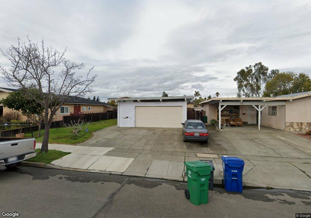
1117 Rosewood Way Alameda, CA 94501
South Shore NeighborhoodEstimated Value: $1,146,000 - $1,355,000
4
Beds
2
Baths
1,271
Sq Ft
$953/Sq Ft
Est. Value
About This Home
This home is located at 1117 Rosewood Way, Alameda, CA 94501 and is currently estimated at $1,211,351, approximately $953 per square foot. 1117 Rosewood Way is a home located in Alameda County with nearby schools including William G. Paden Elementary School, Will C. Wood Middle School, and Encinal Junior/Senior High.
Ownership History
Date
Name
Owned For
Owner Type
Purchase Details
Closed on
Aug 9, 1995
Sold by
Lim Robert B and Lim Marie Q
Bought by
Chan Gary Hoi Sang and Chan Lai Ping
Current Estimated Value
Home Financials for this Owner
Home Financials are based on the most recent Mortgage that was taken out on this home.
Original Mortgage
$50,000
Interest Rate
7.71%
Create a Home Valuation Report for This Property
The Home Valuation Report is an in-depth analysis detailing your home's value as well as a comparison with similar homes in the area
Home Values in the Area
Average Home Value in this Area
Purchase History
| Date | Buyer | Sale Price | Title Company |
|---|---|---|---|
| Chan Gary Hoi Sang | $238,500 | Old Republic Title Company |
Source: Public Records
Mortgage History
| Date | Status | Borrower | Loan Amount |
|---|---|---|---|
| Closed | Chan Gary Hoi Sang | $50,000 |
Source: Public Records
Tax History Compared to Growth
Tax History
| Year | Tax Paid | Tax Assessment Tax Assessment Total Assessment is a certain percentage of the fair market value that is determined by local assessors to be the total taxable value of land and additions on the property. | Land | Improvement |
|---|---|---|---|---|
| 2025 | $6,560 | $388,853 | $118,772 | $277,081 |
| 2024 | $6,560 | $381,092 | $116,444 | $271,648 |
| 2023 | $6,329 | $380,483 | $114,161 | $266,322 |
| 2022 | $6,194 | $366,025 | $111,923 | $261,102 |
| 2021 | $6,052 | $358,710 | $109,728 | $255,982 |
| 2020 | $5,573 | $361,963 | $108,604 | $253,359 |
| 2019 | $5,131 | $354,865 | $106,474 | $248,391 |
| 2018 | $4,999 | $347,909 | $104,387 | $243,522 |
| 2017 | $4,772 | $341,090 | $102,341 | $238,749 |
| 2016 | $4,765 | $334,403 | $100,335 | $234,068 |
| 2015 | $4,743 | $329,382 | $98,828 | $230,554 |
| 2014 | $4,530 | $322,932 | $96,893 | $226,039 |
Source: Public Records
Map
Nearby Homes
- 955 Shorepoint Ct Unit 110
- 955 Shorepoint Ct Unit 200
- 965 Shorepoint Ct
- 950 Shorepoint Ct Unit 100
- 404 Coral Reef Rd
- 1001 Shoreline Dr Unit 301
- 933 Shoreline Dr Unit 203
- 608 Fortress Isle
- 901 San Antonio Ave
- 1220 9th St
- 325 Kitty Hawk Rd Unit 207
- 325 Kitty Hawk Rd Unit 304
- 1301 9th St
- 1203 Benton St
- 610 Grand St
- 1941 Franciscan Way
- 1812 San Antonio Ave
- 1059 Santa Clara Ave
- 1512 Mozart St
- 1523 Verdi St
- 1121 Rosewood Way
- 1113 Rosewood Way
- 1125 Rosewood Way
- 1112 Otis Dr
- 1109 Rosewood Way
- 1106 Otis Dr
- 1118 Otis Dr
- 1100 Otis Dr
- 1129 Rosewood Way
- 1116 Rosewood Way
- 1112 Rosewood Way
- 1120 Rosewood Way
- 1124 Otis Dr
- 1108 Rosewood Way
- 1124 Rosewood Way
- 1133 Rosewood Way
- 1104 Rosewood Way
- 1128 Rosewood Way
- 1051 Rosewood Way
- 1130 Otis Dr