11175 E Comstock Rd Stockton, CA 95215
Estimated Value: $1,255,000 - $1,710,193
4
Beds
4
Baths
4,409
Sq Ft
$334/Sq Ft
Est. Value
About This Home
This home is located at 11175 E Comstock Rd, Stockton, CA 95215 and is currently estimated at $1,472,064, approximately $333 per square foot. 11175 E Comstock Rd is a home located in San Joaquin County with nearby schools including Linden Elementary School, Waterloo Elementary School, and Linden High School.
Ownership History
Date
Name
Owned For
Owner Type
Purchase Details
Closed on
Mar 12, 2002
Sold by
Lewis Lewis A and Lewis Pamela B
Bought by
Conlin Thomas J and Conlin Susan P
Current Estimated Value
Home Financials for this Owner
Home Financials are based on the most recent Mortgage that was taken out on this home.
Original Mortgage
$540,500
Outstanding Balance
$221,329
Interest Rate
6.78%
Estimated Equity
$1,250,735
Create a Home Valuation Report for This Property
The Home Valuation Report is an in-depth analysis detailing your home's value as well as a comparison with similar homes in the area
Purchase History
| Date | Buyer | Sale Price | Title Company |
|---|---|---|---|
| Conlin Thomas J | -- | Chicago Title Co |
Source: Public Records
Mortgage History
| Date | Status | Borrower | Loan Amount |
|---|---|---|---|
| Open | Conlin Thomas J | $540,500 | |
| Closed | Conlin Thomas J | $175,000 |
Source: Public Records
Tax History
| Year | Tax Paid | Tax Assessment Tax Assessment Total Assessment is a certain percentage of the fair market value that is determined by local assessors to be the total taxable value of land and additions on the property. | Land | Improvement |
|---|---|---|---|---|
| 2025 | $12,486 | $1,099,212 | $156,862 | $942,350 |
| 2024 | $12,174 | $1,083,111 | $160,202 | $922,909 |
| 2023 | $12,013 | $1,061,478 | $156,754 | $904,724 |
| 2022 | $11,826 | $1,035,054 | $148,243 | $886,811 |
| 2021 | $11,975 | $1,010,009 | $139,723 | $870,286 |
| 2020 | $11,590 | $994,386 | $132,499 | $861,887 |
| 2019 | $11,383 | $971,814 | $126,420 | $845,394 |
| 2018 | $10,368 | $946,144 | $118,059 | $828,085 |
| 2017 | $10,285 | $939,900 | $107,951 | $831,949 |
| 2016 | $10,168 | $924,506 | $106,445 | $818,061 |
| 2014 | $9,911 | $889,831 | $92,636 | $797,195 |
Source: Public Records
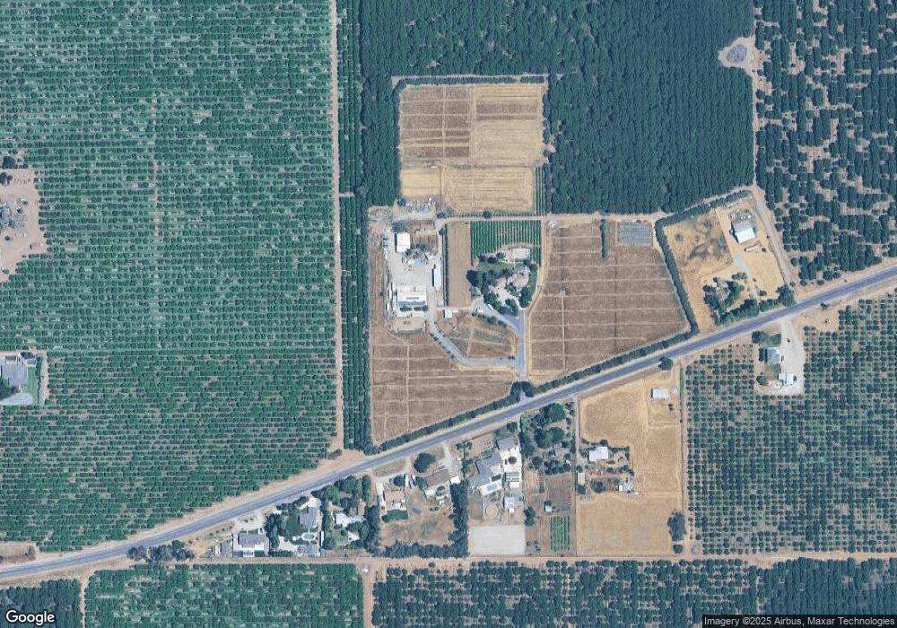
Map
Nearby Homes
- 10221 Baker Rd
- 5610 N Confer Rd
- 5766 N Alpine Rd
- 4810 Braghetta Ln
- 10201 E Fairchild Rd
- 14860 E Baker Rd
- 9729 Hildreth Ln
- 11850 Live Oak Rd
- 12750 E Live Oak Rd
- 12860 E Tokay Colony Rd
- 6380 Landmark Rd
- 6156 E Ashley Ln
- 6163 Amande Ct
- 5525 Quashnick Rd
- 11791 N Alpine Rd
- 5324 Oakview Ln
- 5348 Shippee Ln
- 5835 Cherokee Rd Unit 61
- 5835 Cherokee Rd Unit 41
- 5835 Cherokee Rd Unit 7
- 11114 E Comstock Rd
- 11170 E Comstock Rd
- 11306 E Comstock Rd
- 11100 E Comstock Rd
- 11310 E Comstock Rd
- 11090 E Comstock Rd
- 11064 E Comstock Rd
- 11383 E Comstock Rd
- 11418 E Comstock Rd
- 10895 E Comstock Rd
- 10895 E Comstock Rd
- 10811 E Comstock Rd
- 10711 E Comstock Rd
- 11781 E Comstock Rd
- 10645 E Comstock Rd
- 11825 E Comstock Rd
- 8330 California 88
- 8058 N Highway 88
- 8058 N Highway 88
- 10585 E Comstock Rd
Your Personal Tour Guide
Ask me questions while you tour the home.