Estimated Value: $248,000 - $274,000
3
Beds
3
Baths
1,456
Sq Ft
$181/Sq Ft
Est. Value
About This Home
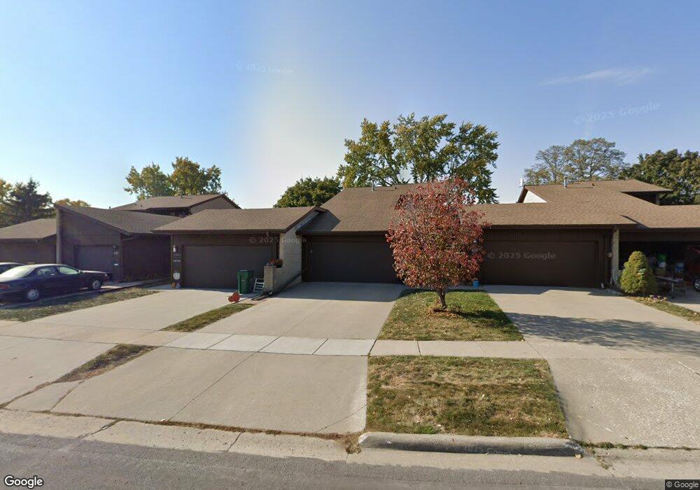
This home is located at 1119 Johnson St, Ames, IA 50010 and is currently estimated at $264,187, approximately $181 per square foot. 1119 Johnson St is a home located in Story County with nearby schools including Fellows Elementary School, Ames Middle School, and Ames High School.
Ownership History
Date
Name
Owned For
Owner Type
Purchase Details
Closed on
May 13, 2013
Sold by
Sumsion F Frank
Bought by
Duster Brian and Duster Audra
Current Estimated Value
Home Financials for this Owner
Home Financials are based on the most recent Mortgage that was taken out on this home.
Original Mortgage
$80,000
Outstanding Balance
$56,433
Interest Rate
3.38%
Mortgage Type
New Conventional
Estimated Equity
$207,754
Purchase Details
Closed on
Mar 15, 2010
Sold by
Sumsion F Frank
Bought by
Sumsion F Frank and F Frank Sumsion Trust
Purchase Details
Closed on
May 28, 2009
Sold by
Hilker Hilda and Overland Janice Mary
Bought by
Sumsion F Frank
Home Financials for this Owner
Home Financials are based on the most recent Mortgage that was taken out on this home.
Original Mortgage
$110,320
Interest Rate
4.83%
Mortgage Type
New Conventional
Create a Home Valuation Report for This Property
The Home Valuation Report is an in-depth analysis detailing your home's value as well as a comparison with similar homes in the area
Purchase History
| Date | Buyer | Sale Price | Title Company |
|---|---|---|---|
| Duster Brian | $144,000 | None Available | |
| Sumsion F Frank | -- | None Available | |
| Sumsion F Frank | $138,000 | None Available |
Source: Public Records
Mortgage History
| Date | Status | Borrower | Loan Amount |
|---|---|---|---|
| Open | Duster Brian | $80,000 | |
| Previous Owner | Sumsion F Frank | $110,320 |
Source: Public Records
Tax History
| Year | Tax Paid | Tax Assessment Tax Assessment Total Assessment is a certain percentage of the fair market value that is determined by local assessors to be the total taxable value of land and additions on the property. | Land | Improvement |
|---|---|---|---|---|
| 2025 | $3,166 | $267,000 | $52,900 | $214,100 |
| 2024 | $3,096 | $228,500 | $42,200 | $186,300 |
| 2023 | $2,688 | $228,500 | $42,200 | $186,300 |
| 2022 | $2,654 | $168,600 | $42,200 | $126,400 |
| 2021 | $2,784 | $168,600 | $42,200 | $126,400 |
| 2020 | $2,742 | $166,900 | $41,700 | $125,200 |
| 2019 | $2,742 | $166,900 | $41,700 | $125,200 |
| 2018 | $2,762 | $166,900 | $41,700 | $125,200 |
| 2017 | $2,762 | $166,900 | $41,700 | $125,200 |
| 2016 | $2,488 | $150,000 | $19,900 | $130,100 |
| 2015 | $2,488 | $150,000 | $19,900 | $130,100 |
| 2014 | $2,538 | $150,000 | $19,900 | $130,100 |
Source: Public Records
Map
Nearby Homes
- 2311 Northwestern Ave
- 706/ 714 720 726 806 814 24th St
- 2505 Pierce Ave
- 1525 Top O Hollow Rd
- 1125 Kinyon Cir
- 3714 Columbine Cir
- 1801 Coolidge Dr
- 3916 Fletcher Blvd
- 2509 Kent Ave
- 4131 Stone Brooke Rd
- 2426 Yorkshire Cir
- 4033 Fletcher Blvd
- 126 Broadmoor Cir
- 2425 Dalton Cir
- 4231 Stone Brooke Rd
- 1501 Summit Ave
- 1406 Harding Ave
- 4227 Eisenhower Ct
- 1504 Burnett Ave
- 1941 Paulson Dr
Your Personal Tour Guide
Ask me questions while you tour the home.