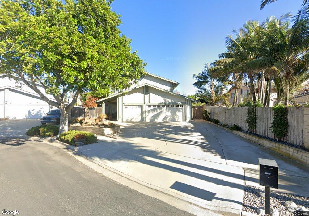
1120 Fathom Ct Oxnard, CA 93035
Via Marina NeighborhoodEstimated Value: $840,407 - $1,154,000
4
Beds
3
Baths
1,861
Sq Ft
$503/Sq Ft
Est. Value
About This Home
This home is located at 1120 Fathom Ct, Oxnard, CA 93035 and is currently estimated at $935,352, approximately $502 per square foot. 1120 Fathom Ct is a home located in Ventura County with nearby schools including Christa Mcauliffe Elementary School and Oxnard High School.
Ownership History
Date
Name
Owned For
Owner Type
Purchase Details
Closed on
Apr 29, 2004
Sold by
Wallace Peter E and Wallace Kathryn S
Bought by
Wallace Peter E and Wallace Kathryn S
Current Estimated Value
Create a Home Valuation Report for This Property
The Home Valuation Report is an in-depth analysis detailing your home's value as well as a comparison with similar homes in the area
Home Values in the Area
Average Home Value in this Area
Purchase History
| Date | Buyer | Sale Price | Title Company |
|---|---|---|---|
| Wallace Peter E | -- | -- |
Source: Public Records
Tax History Compared to Growth
Tax History
| Year | Tax Paid | Tax Assessment Tax Assessment Total Assessment is a certain percentage of the fair market value that is determined by local assessors to be the total taxable value of land and additions on the property. | Land | Improvement |
|---|---|---|---|---|
| 2025 | $2,868 | $240,439 | $48,146 | $192,293 |
| 2024 | $2,868 | $235,725 | $47,202 | $188,523 |
| 2023 | $2,763 | $231,103 | $46,276 | $184,827 |
| 2022 | $2,679 | $226,572 | $45,369 | $181,203 |
| 2021 | $2,656 | $222,130 | $44,480 | $177,650 |
| 2020 | $2,704 | $219,854 | $44,025 | $175,829 |
| 2019 | $2,627 | $215,544 | $43,162 | $172,382 |
| 2018 | $2,589 | $211,318 | $42,316 | $169,002 |
| 2017 | $2,457 | $207,176 | $41,487 | $165,689 |
| 2016 | $2,371 | $203,115 | $40,674 | $162,441 |
| 2015 | $2,394 | $200,065 | $40,064 | $160,001 |
| 2014 | $2,367 | $196,148 | $39,280 | $156,868 |
Source: Public Records
Map
Nearby Homes
- 3601 Via Pacifica Walk
- 3675 Via Pacifica Walk
- 3225 Kelp Ln
- 3630 Miramar Way
- 3215 Kelp Ln
- 930 Topsail Ct
- 1161 Windward Way
- 1437 Windshore Way
- 1423 Windshore Way
- 1503 Windshore Way
- 4048 Tradewinds Dr
- 1541 Windshore Way
- 1539 Windshore Way
- 1547 Windshore Way
- 1523 Windshore Way
- 636 Ibiza Ln
- 1572 Seabridge Ln
- 1544 Seabridge Ln
- 3610 Isle Way
- 3644 Islander Walk
- 3461 Neap Place
- 1110 Fathom Ct
- 3471 Neap Place
- 1121 Port Cir
- 3451 Neap Place
- 1100 Fathom Ct
- 1111 Port Cir
- 3441 W Neap Place
- 3441 Neap Place
- 1121 Fathom Ct
- 1101 Fathom Ct
- 1131 Fathom Ct
- 1111 Fathom Ct
- 1101 Port Cir
- 1141 Fathom Ct
- 3460 Neap Place
- 3460 W Neap Place
- 3500 Neap Place
- 3450 Neap Place
- 3510 Neap Place