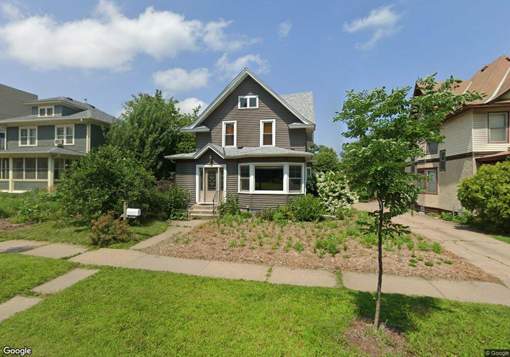
1121 Thorn St Saint Paul, MN 55106
Dayton's Bluff NeighborhoodEstimated Value: $361,000 - $444,000
3
Beds
2
Baths
1,625
Sq Ft
$242/Sq Ft
Est. Value
About This Home
This home is located at 1121 Thorn St, Saint Paul, MN 55106 and is currently estimated at $393,000, approximately $241 per square foot. 1121 Thorn St is a home located in Ramsey County with nearby schools including Dayton's Bluff Achievement Plus Elementary School, Battle Creek Middle School, and Harding Senior High School.
Ownership History
Date
Name
Owned For
Owner Type
Purchase Details
Closed on
Jun 4, 2018
Sold by
Lewis Michael Michael
Bought by
Stalheim Megan Megan and Klein Krystal Krystal
Current Estimated Value
Home Financials for this Owner
Home Financials are based on the most recent Mortgage that was taken out on this home.
Original Mortgage
$308,500
Outstanding Balance
$266,801
Interest Rate
4.5%
Mortgage Type
New Conventional
Estimated Equity
$126,199
Purchase Details
Closed on
Apr 3, 2000
Sold by
Oconnell Timothy D and Oconnell Tammy L
Bought by
Lewis Michael J and Lewis Belinda S
Create a Home Valuation Report for This Property
The Home Valuation Report is an in-depth analysis detailing your home's value as well as a comparison with similar homes in the area
Home Values in the Area
Average Home Value in this Area
Purchase History
| Date | Buyer | Sale Price | Title Company |
|---|---|---|---|
| Stalheim Megan Megan | $324,800 | -- | |
| Stalheim Megan L | $324,752 | Resluts Title | |
| Lewis Michael J | $158,000 | -- |
Source: Public Records
Mortgage History
| Date | Status | Borrower | Loan Amount |
|---|---|---|---|
| Open | Stalheim Megan L | $308,500 | |
| Closed | Stalheim Megan Megan | $308,500 |
Source: Public Records
Tax History Compared to Growth
Tax History
| Year | Tax Paid | Tax Assessment Tax Assessment Total Assessment is a certain percentage of the fair market value that is determined by local assessors to be the total taxable value of land and additions on the property. | Land | Improvement |
|---|---|---|---|---|
| 2025 | $5,414 | $374,200 | $45,500 | $328,700 |
| 2023 | $5,414 | $346,300 | $29,100 | $317,200 |
| 2022 | $4,818 | $342,200 | $29,100 | $313,100 |
| 2021 | $4,410 | $292,200 | $29,100 | $263,100 |
| 2020 | $4,588 | $283,600 | $29,100 | $254,500 |
| 2019 | $3,572 | $269,300 | $29,100 | $240,200 |
| 2018 | $3,804 | $221,800 | $27,900 | $193,900 |
| 2017 | $3,496 | $213,600 | $27,900 | $185,700 |
| 2016 | $3,274 | $0 | $0 | $0 |
| 2015 | $3,396 | $187,000 | $24,400 | $162,600 |
| 2014 | $3,062 | $0 | $0 | $0 |
Source: Public Records
Map
Nearby Homes
- 1051 Mclean Ave
- 1005 Mclean Ave
- 271 English St
- 1076 Wilson Ave
- 1020 Wilson Ave
- 244 Point Douglas Rd N
- 995 Wakefield Ave
- 401 Johnson Pkwy
- 1333 Pacific St
- 1097 Euclid St
- 1257 Wilson Ave
- 1320 Wilson Ave
- 1056 3rd St E
- 212 Maple St
- 150 Mounds Blvd
- 949 Conway St
- 980 3rd St E
- 1026 Fremont Ave
- 1443 Pacific St
- 725 Wilson Ave
- 1113 Thorn St
- 1129 Thorn St
- 214 Frank St
- 214 214 Frank-Street-
- 1133 Thorn St
- 1109 Thorn St
- 218 Frank St
- 1139 Thorn St
- 222 Frank St
- 226 Frank St
- 1143 Thorn St
- 1122 Burns Ave
- 1122 1122 Burns-Avenue-
- 1128 Burns Ave
- 1138 Burns Ave
- 1149 Mounds Blvd
- 1120 Burns Ave
- 1118 Burns Ave
- 1148 Burns Ave
- 1155 Mounds Blvd