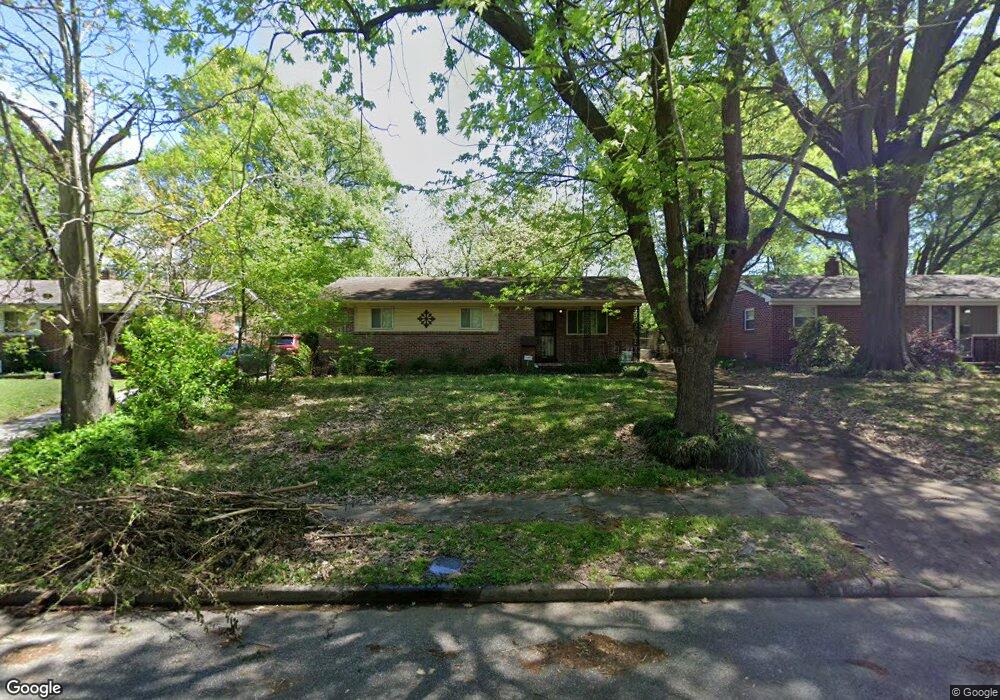
1124 Wellsville Rd Memphis, TN 38117
Colonial Acres NeighborhoodEstimated Value: $163,000 - $216,000
3
Beds
1
Bath
1,310
Sq Ft
$148/Sq Ft
Est. Value
About This Home
This home is located at 1124 Wellsville Rd, Memphis, TN 38117 and is currently estimated at $193,594, approximately $147 per square foot. 1124 Wellsville Rd is a home located in Shelby County with nearby schools including Sea Isle Elementary School, Colonial Middle, and Overton High.
Ownership History
Date
Name
Owned For
Owner Type
Purchase Details
Closed on
Nov 7, 2003
Sold by
Corbett A J and Corbett Carolyn B
Bought by
Dawson Jennie R
Current Estimated Value
Home Financials for this Owner
Home Financials are based on the most recent Mortgage that was taken out on this home.
Original Mortgage
$112,238
Outstanding Balance
$52,178
Interest Rate
6.04%
Mortgage Type
FHA
Estimated Equity
$141,416
Create a Home Valuation Report for This Property
The Home Valuation Report is an in-depth analysis detailing your home's value as well as a comparison with similar homes in the area
Home Values in the Area
Average Home Value in this Area
Purchase History
| Date | Buyer | Sale Price | Title Company |
|---|---|---|---|
| Dawson Jennie R | $114,000 | -- |
Source: Public Records
Mortgage History
| Date | Status | Borrower | Loan Amount |
|---|---|---|---|
| Open | Dawson Jennie R | $112,238 |
Source: Public Records
Tax History Compared to Growth
Tax History
| Year | Tax Paid | Tax Assessment Tax Assessment Total Assessment is a certain percentage of the fair market value that is determined by local assessors to be the total taxable value of land and additions on the property. | Land | Improvement |
|---|---|---|---|---|
| 2025 | $1,264 | $45,975 | $11,250 | $34,725 |
| 2024 | $1,264 | $37,300 | $7,050 | $30,250 |
| 2023 | $2,272 | $37,300 | $7,050 | $30,250 |
| 2022 | $2,272 | $37,300 | $7,050 | $30,250 |
| 2021 | $2,299 | $37,300 | $7,050 | $30,250 |
| 2020 | $1,962 | $27,075 | $7,050 | $20,025 |
| 2019 | $1,962 | $27,075 | $7,050 | $20,025 |
| 2018 | $1,962 | $27,075 | $7,050 | $20,025 |
| 2017 | $1,113 | $27,075 | $7,050 | $20,025 |
| 2016 | $1,124 | $25,725 | $0 | $0 |
| 2014 | $1,124 | $25,725 | $0 | $0 |
Source: Public Records
Map
Nearby Homes
- 1136 S White Station Rd
- 1130 Wheaton St
- 1065 S White Station Rd
- 5283 Dee Rd
- 1232 S White Station Rd
- 5076 Dee Rd
- 5255 Seneca Ave
- 5287 Seneca Ave
- 5067 Wingdale Rd
- 5050 New Castle Rd
- 5323 Dee Rd
- 5055 Wingdale Rd
- 1277 Wellsville Rd
- 5032 Edenshire Ave
- 1090 Estate Dr
- 1190 Estate Dr
- 5362 Knollwood Cove
- 1340 S White Station Rd
- 1321 Wilbec Rd
- 4972 Edenshire Ave
- 1118 Wellsville Rd
- 1132 Wellsville Rd
- 1138 Wellsville Rd
- 1104 Wellsville Rd
- 5185 Edenshire Ave
- 1135 Wilmore Rd
- 5191 Edenshire Ave
- 1141 Wilmore Rd
- 1117 Wilmore Rd
- 1123 Wellsville Rd
- 1117 Wellsville Rd
- 5199 Edenshire Ave
- 1147 Wilmore Rd
- 1131 Wellsville Rd
- 5163 Edenshire Ave
- 1137 Wellsville Rd
- 5186 Dee Rd
- 5205 Edenshire Ave
- 5157 Edenshire Ave
- 5180 Dee Rd