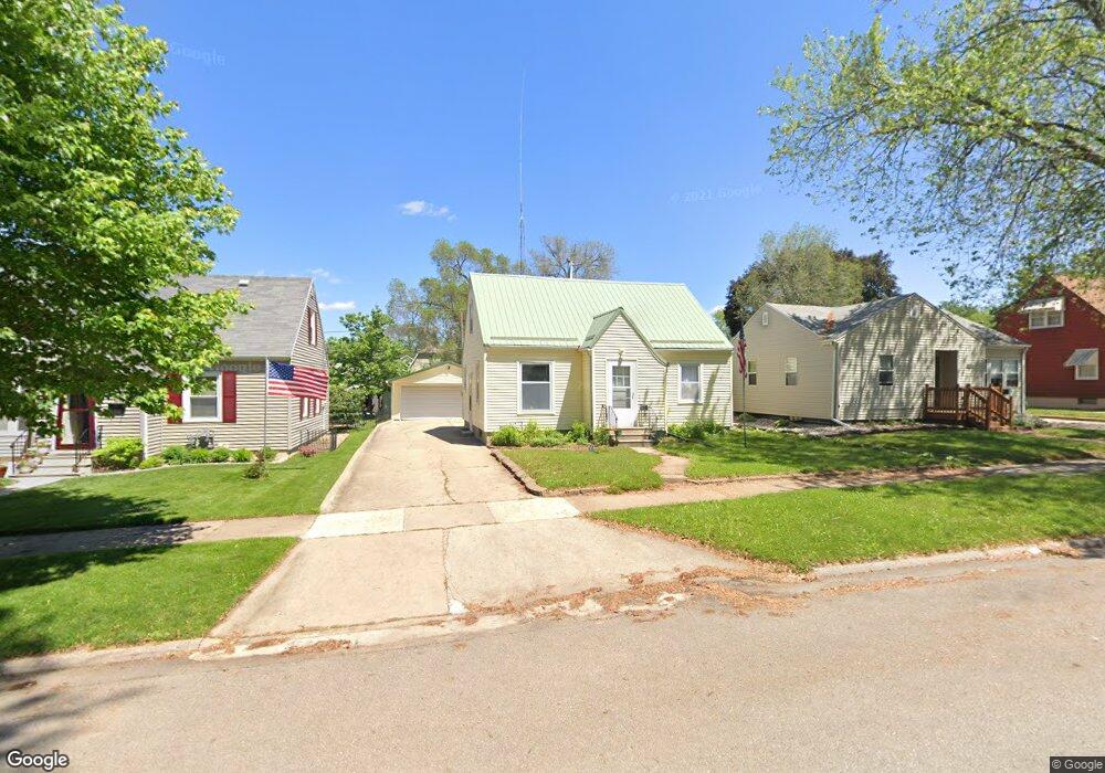
1129 Byron Ave Waterloo, IA 50702
Liberty Park NeighborhoodEstimated Value: $130,013 - $149,000
2
Beds
1
Bath
1,166
Sq Ft
$118/Sq Ft
Est. Value
About This Home
This home is located at 1129 Byron Ave, Waterloo, IA 50702 and is currently estimated at $137,338, approximately $117 per square foot. 1129 Byron Ave is a home located in Black Hawk County with nearby schools including Kittrell Elementary School, Hoover Middle School, and West High School.
Ownership History
Date
Name
Owned For
Owner Type
Purchase Details
Closed on
Dec 2, 2005
Sold by
Klein Richard J
Bought by
Frederick Melanie M
Current Estimated Value
Home Financials for this Owner
Home Financials are based on the most recent Mortgage that was taken out on this home.
Original Mortgage
$68,000
Outstanding Balance
$37,622
Interest Rate
6.2%
Mortgage Type
New Conventional
Estimated Equity
$99,716
Create a Home Valuation Report for This Property
The Home Valuation Report is an in-depth analysis detailing your home's value as well as a comparison with similar homes in the area
Home Values in the Area
Average Home Value in this Area
Purchase History
| Date | Buyer | Sale Price | Title Company |
|---|---|---|---|
| Frederick Melanie M | $78,000 | None Available |
Source: Public Records
Mortgage History
| Date | Status | Borrower | Loan Amount |
|---|---|---|---|
| Open | Frederick Melanie M | $68,000 |
Source: Public Records
Tax History
| Year | Tax Paid | Tax Assessment Tax Assessment Total Assessment is a certain percentage of the fair market value that is determined by local assessors to be the total taxable value of land and additions on the property. | Land | Improvement |
|---|---|---|---|---|
| 2025 | $2,353 | $127,340 | $15,760 | $111,580 |
| 2024 | $2,164 | $118,710 | $15,760 | $102,950 |
| 2023 | $1,878 | $118,710 | $15,760 | $102,950 |
| 2022 | $1,826 | $94,360 | $15,760 | $78,600 |
| 2021 | $2,116 | $94,360 | $15,760 | $78,600 |
| 2020 | $2,082 | $93,440 | $12,130 | $81,310 |
| 2019 | $2,082 | $93,440 | $12,130 | $81,310 |
| 2018 | $2,078 | $93,440 | $12,130 | $81,310 |
| 2017 | $2,078 | $93,230 | $12,130 | $81,100 |
| 2016 | $2,116 | $93,230 | $12,130 | $81,100 |
| 2015 | $2,116 | $93,230 | $12,130 | $81,100 |
| 2014 | $1,850 | $88,720 | $12,130 | $76,590 |
Source: Public Records
Map
Nearby Homes
- 1115 Hawthorne Ave
- 1017 Forest Ave
- 1125 Bertch Ave
- 1207 Bertch Ave
- 1171 Liberty Ave
- 812 Hawthorne Ave
- 1229 W 7th St
- 826 Williston Ave
- 611 Johnson St
- 1416 Hawthorne Ave
- 1141 E Mitchell Ave
- 1107 E Mitchell Ave
- 1181 E Mitchell Ave
- 1433 Liberty Ave
- 922 E Mitchell Ave
- 814 E Mitchell Ave
- 739 W 11th St
- 1013 W 6th St
- 1219 Hammond Ave
- 2425 Randolph St
- 1125 Byron Ave
- 1139 Byron Ave
- 1121 Byron Ave
- 1128 Hawthorne Ave
- 1132 Hawthorne Ave
- 1145 Byron Ave
- 1124 Hawthorne Ave
- 1115 Byron Ave
- 1134 Hawthorne Ave
- 1122 Hawthorne Ave
- 1122 Byron Ave Unit 1124
- 1126 Byron Ave Unit 1128
- 1138 Hawthorne Ave
- 1114 Byron Ave
- 1118 Hawthorne Ave
- 1112 Byron Ave
- 1120 Byron Ave
- 1149 Byron Ave
- 1144 Hawthorne Ave
- 1108 Hawthorne Ave
Your Personal Tour Guide
Ask me questions while you tour the home.