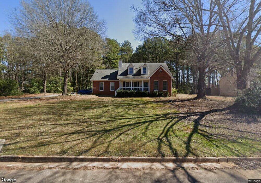
113 Bloomfield Dr Stockbridge, GA 30281
Estimated Value: $338,000 - $402,000
5
Beds
3
Baths
3,147
Sq Ft
$115/Sq Ft
Est. Value
About This Home
This home is located at 113 Bloomfield Dr, Stockbridge, GA 30281 and is currently estimated at $361,795, approximately $114 per square foot. 113 Bloomfield Dr is a home located in Henry County with nearby schools including Cotton Indian Elementary School, Stockbridge Middle School, and Stockbridge High School.
Ownership History
Date
Name
Owned For
Owner Type
Purchase Details
Closed on
Jun 10, 2016
Sold by
Tumlin Charles W
Bought by
Smith Michael Clinton
Current Estimated Value
Home Financials for this Owner
Home Financials are based on the most recent Mortgage that was taken out on this home.
Original Mortgage
$181,827
Outstanding Balance
$144,321
Interest Rate
3.57%
Mortgage Type
VA
Estimated Equity
$217,474
Purchase Details
Closed on
Mar 25, 1997
Sold by
Bannister Debra W and Williams Donald W
Bought by
Tumlin Charles W and Tumlin Diane M
Home Financials for this Owner
Home Financials are based on the most recent Mortgage that was taken out on this home.
Original Mortgage
$90,000
Interest Rate
7.86%
Mortgage Type
New Conventional
Create a Home Valuation Report for This Property
The Home Valuation Report is an in-depth analysis detailing your home's value as well as a comparison with similar homes in the area
Home Values in the Area
Average Home Value in this Area
Purchase History
| Date | Buyer | Sale Price | Title Company |
|---|---|---|---|
| Smith Michael Clinton | $178,000 | -- | |
| Tumlin Charles W | $149,900 | -- |
Source: Public Records
Mortgage History
| Date | Status | Borrower | Loan Amount |
|---|---|---|---|
| Open | Smith Michael Clinton | $181,827 | |
| Previous Owner | Tumlin Charles W | $90,000 |
Source: Public Records
Tax History Compared to Growth
Tax History
| Year | Tax Paid | Tax Assessment Tax Assessment Total Assessment is a certain percentage of the fair market value that is determined by local assessors to be the total taxable value of land and additions on the property. | Land | Improvement |
|---|---|---|---|---|
| 2025 | $5,641 | $141,676 | $16,000 | $125,676 |
| 2024 | $5,641 | $135,920 | $16,000 | $119,920 |
| 2023 | $4,958 | $128,200 | $12,000 | $116,200 |
| 2022 | $3,902 | $100,680 | $12,000 | $88,680 |
| 2021 | $3,436 | $88,520 | $12,000 | $76,520 |
| 2020 | $2,980 | $76,640 | $10,000 | $66,640 |
| 2019 | $2,926 | $75,240 | $10,000 | $65,240 |
| 2018 | $2,837 | $72,920 | $10,000 | $62,920 |
| 2016 | $1,874 | $54,880 | $6,400 | $48,480 |
| 2015 | $1,656 | $48,160 | $6,400 | $41,760 |
| 2014 | $1,554 | $45,200 | $6,400 | $38,800 |
Source: Public Records
Map
Nearby Homes
- 1527 Old Conyers Rd Unit 4
- 30 Hickory Dr
- 0 Old Conyers Rd Unit 10574658
- 364 Sound Cir
- 0 Freeman Dr Unit 128 10480940
- 0 Flakes Rd Unit 24
- 0 Freeman #128 Dr
- 193 Edison Dr
- 155 Hickory Dr
- 277 Edison Dr
- 180 Cowan Dr
- 90 Chimney Rise Ct
- 200 Cowan Dr
- 159 Brookwood Estates Trail
- 0 Chimney Smoke Dr Unit 10640945
- 0 Chimney Smoke Dr Unit 182111
- 128 Belair Ln Unit 1
- 125 Johnsons Walk Unit 2
- 15 Chimney Smoke Dr
- 566 Knollwood Dr
- 117 Bloomfield Dr
- 101 Bloomfield Dr
- 1145 Flat Rock Rd
- 125 Bloomfield Dr
- 118 Bloomfield Dr Unit 1
- 0 Bloomfield Dr Unit 8008571
- 112 Bloomfield Dr
- 1125 Flat Rock Rd
- 95 Bloomfield Dr
- 124 Bloomfield Dr
- 106 Bloomfield Dr
- 131 Bloomfield Dr
- 130 Bloomfield Dr
- 100 Bloomfield Dr
- 100 Bloomfield Dr
- 100 Bloomfield Dr Unit 1
- 94 Bloomfield Dr
- 137 Bloomfield Dr
- 1237 Flat Rock Rd
- 136 Bloomfield Dr Unit 1