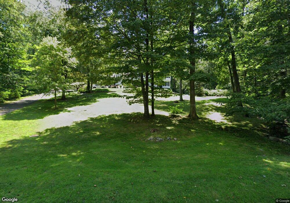
113 Thunder Lake Rd Wilton, CT 06897
Estimated Value: $1,156,000 - $1,386,000
4
Beds
3
Baths
2,737
Sq Ft
$458/Sq Ft
Est. Value
About This Home
This home is located at 113 Thunder Lake Rd, Wilton, CT 06897 and is currently estimated at $1,254,662, approximately $458 per square foot. 113 Thunder Lake Rd is a home located in Fairfield County with nearby schools including Miller-Driscoll School, Cider Mill School, and Middlebrook School.
Ownership History
Date
Name
Owned For
Owner Type
Purchase Details
Closed on
Jun 25, 1992
Sold by
Thornton Worth and Thornton Anna
Bought by
Noonan Michael and Noonan Doris
Current Estimated Value
Create a Home Valuation Report for This Property
The Home Valuation Report is an in-depth analysis detailing your home's value as well as a comparison with similar homes in the area
Home Values in the Area
Average Home Value in this Area
Purchase History
| Date | Buyer | Sale Price | Title Company |
|---|---|---|---|
| Noonan Michael | $315,000 | -- |
Source: Public Records
Mortgage History
| Date | Status | Borrower | Loan Amount |
|---|---|---|---|
| Open | Noonan Michael | $100,000 | |
| Closed | Noonan Michael | $643,000 | |
| Closed | Noonan Michael | $600,000 | |
| Closed | Noonan Michael | $460,000 |
Source: Public Records
Tax History Compared to Growth
Tax History
| Year | Tax Paid | Tax Assessment Tax Assessment Total Assessment is a certain percentage of the fair market value that is determined by local assessors to be the total taxable value of land and additions on the property. | Land | Improvement |
|---|---|---|---|---|
| 2025 | $15,095 | $618,380 | $310,240 | $308,140 |
| 2024 | $14,804 | $618,380 | $310,240 | $308,140 |
| 2023 | $16,570 | $458,570 | $296,660 | $161,910 |
| 2022 | $12,945 | $458,570 | $296,660 | $161,910 |
| 2021 | $12,780 | $458,570 | $296,660 | $161,910 |
| 2020 | $12,592 | $458,570 | $296,660 | $161,910 |
| 2019 | $13,088 | $458,570 | $296,660 | $161,910 |
| 2018 | $13,436 | $476,630 | $311,920 | $164,710 |
| 2017 | $13,236 | $476,630 | $311,920 | $164,710 |
| 2016 | $13,031 | $476,630 | $311,920 | $164,710 |
| 2015 | $12,788 | $476,630 | $311,920 | $164,710 |
| 2014 | $12,585 | $474,740 | $311,920 | $162,820 |
Source: Public Records
Map
Nearby Homes
- 54 Mountain Rd
- 9 Read Place
- 10 Mallory Hill Rd
- 0 Mountain Rd
- 175 Mountain Rd
- 26 Wilridge Rd
- 66 Portland Ave
- 311 Old Branchville Rd
- 0 Old Mill Rd
- 00 Old Mill Rd
- 33 Peaceable St
- 20 Georgetown Rd
- 12 Upper Parish Dr
- Lot 6 Cattle Pen Ln
- 15 Laurel Hill Rd
- 134 Nod Rd
- 46 Old Farm Rd
- 34 Hickory Ln
- 274 Nod Rd
- 96 Georgetown Rd
- 93 Thunder Lake Rd
- 131 Thunder Lake Rd
- 119 Thunder Lake Rd
- 121 Thunder Lake Rd
- 110 Thunder Lake Rd
- 123 Thunder Lake Rd
- 126 Thunder Lake Rd
- 104 Thunder Lake Rd
- 98 Thunder Lake Rd
- 120 Thunder Lake Rd
- 136 Thunder Lake Rd
- 90 Thunder Lake Rd
- 75 Thunder Lake Rd
- 116 Thunder Lake Rd
- 145 Thunder Lake Rd
- 166 Thunder Lake Rd
- 62 Granite Dr
- 114 Thunder Lake Rd
- 78 Granite Dr
- 70 Thunder Lake Rd