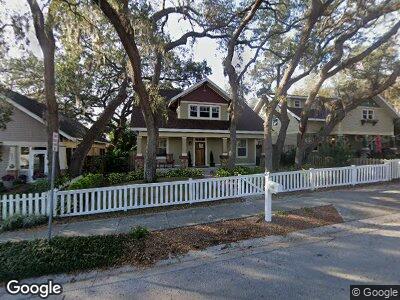
1130 Sumner Blvd Safety Harbor, FL 34695
Downtown Safety Harbor NeighborhoodEstimated Value: $781,588 - $880,000
4
Beds
4
Baths
3,162
Sq Ft
$266/Sq Ft
Est. Value
About This Home
This home is located at 1130 Sumner Blvd, Safety Harbor, FL 34695 and is currently estimated at $839,647, approximately $265 per square foot. 1130 Sumner Blvd is a home located in Pinellas County with nearby schools including Safety Harbor Elementary School, Countryside High School, and Safety Harbor Middle School.
Ownership History
Date
Name
Owned For
Owner Type
Purchase Details
Closed on
May 7, 2009
Sold by
Hall Raymond F
Bought by
Stringer Susan M and Fenner Brian K
Current Estimated Value
Home Financials for this Owner
Home Financials are based on the most recent Mortgage that was taken out on this home.
Original Mortgage
$306,000
Outstanding Balance
$199,269
Interest Rate
4.79%
Mortgage Type
Purchase Money Mortgage
Estimated Equity
$644,425
Purchase Details
Closed on
May 19, 2006
Sold by
Mclachlan Herbert W and Mclachlan Mary Ann
Bought by
Hall Raymond F
Create a Home Valuation Report for This Property
The Home Valuation Report is an in-depth analysis detailing your home's value as well as a comparison with similar homes in the area
Home Values in the Area
Average Home Value in this Area
Purchase History
| Date | Buyer | Sale Price | Title Company |
|---|---|---|---|
| Stringer Susan M | $340,000 | First American Title Ins Co | |
| Hall Raymond F | -- | None Available |
Source: Public Records
Mortgage History
| Date | Status | Borrower | Loan Amount |
|---|---|---|---|
| Open | Stringer Susan M | $306,000 |
Source: Public Records
Tax History Compared to Growth
Tax History
| Year | Tax Paid | Tax Assessment Tax Assessment Total Assessment is a certain percentage of the fair market value that is determined by local assessors to be the total taxable value of land and additions on the property. | Land | Improvement |
|---|---|---|---|---|
| 2024 | $4,389 | $303,347 | -- | -- |
| 2023 | $4,389 | $294,512 | $0 | $0 |
| 2022 | $4,268 | $285,934 | $0 | $0 |
| 2021 | $4,327 | $277,606 | $0 | $0 |
| 2020 | $4,319 | $273,773 | $0 | $0 |
| 2019 | $4,245 | $267,618 | $0 | $0 |
| 2018 | $4,189 | $262,628 | $0 | $0 |
| 2017 | $4,156 | $257,226 | $0 | $0 |
| 2016 | $4,124 | $251,935 | $0 | $0 |
| 2015 | $4,211 | $250,184 | $0 | $0 |
| 2014 | -- | $248,198 | $0 | $0 |
Source: Public Records
Map
Nearby Homes
- 670 Wooddell Dr
- 731 14th Ave S
- 201 11th Ave S
- 120 12th Ave N
- 1005 Main St
- 785 5th St S
- 946 Main St
- 166 11th Ave N
- 212 8th Ave S
- 603 5th St S
- 1304 Withlacoochee St
- 0 5th St S
- 560 7th St S
- 1155 Withlacoochee St
- 555 7th St S
- 939 S Bayshore Blvd
- 775 S Bayshore Blvd
- 550 7th St S
- 1220 Dr Ml King Jr St N
- 1802 Oak Ridge Rd
- 1130 Sumner Blvd
- 1120 Sumner Blvd
- 1110 Sumner Blvd
- 1200 Sumner Blvd
- 1155 7th St S
- 1100 Sumner Blvd
- 1013 7th St S
- 1159 7th St S
- 540 Landfield Ave
- 1011 7th St S
- 1008 Sumner Blvd
- 1220 Sumner Blvd
- 1201 Sumner Blvd
- 1009 7th St S
- 1006 Sumner Blvd
- 527 Landfield Ave
- 1007 7th St S
- 1007 Sumner Blvd Unit C
- 1240 Sumner Blvd
- 525 Landfield Ave