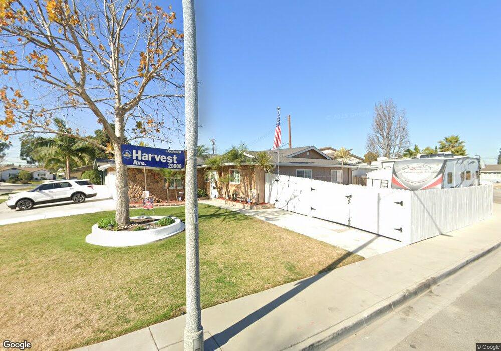
11323 Seaborn St Lakewood, CA 90715
Imperial Estates West NeighborhoodEstimated Value: $797,156 - $868,000
3
Beds
2
Baths
1,248
Sq Ft
$670/Sq Ft
Est. Value
About This Home
This home is located at 11323 Seaborn St, Lakewood, CA 90715 and is currently estimated at $836,039, approximately $669 per square foot. 11323 Seaborn St is a home located in Los Angeles County with nearby schools including Willow Elementary School, Haskell Stem Academy, and Artesia High School.
Ownership History
Date
Name
Owned For
Owner Type
Purchase Details
Closed on
Jun 15, 2016
Sold by
Roberts Raymond E and Roberts Michele M
Bought by
Roberts Family Revocable Trust
Current Estimated Value
Purchase Details
Closed on
Jun 20, 1994
Sold by
Hall Edwin E and Hall Patricia B
Bought by
Roberts Raymond E and Roberts Michele M
Home Financials for this Owner
Home Financials are based on the most recent Mortgage that was taken out on this home.
Original Mortgage
$157,500
Outstanding Balance
$79,806
Interest Rate
7.62%
Estimated Equity
$756,233
Create a Home Valuation Report for This Property
The Home Valuation Report is an in-depth analysis detailing your home's value as well as a comparison with similar homes in the area
Home Values in the Area
Average Home Value in this Area
Purchase History
| Date | Buyer | Sale Price | Title Company |
|---|---|---|---|
| Roberts Family Revocable Trust | -- | None Available | |
| Roberts Raymond E | $190,000 | North American Title |
Source: Public Records
Mortgage History
| Date | Status | Borrower | Loan Amount |
|---|---|---|---|
| Open | Roberts Raymond E | $157,500 |
Source: Public Records
Tax History Compared to Growth
Tax History
| Year | Tax Paid | Tax Assessment Tax Assessment Total Assessment is a certain percentage of the fair market value that is determined by local assessors to be the total taxable value of land and additions on the property. | Land | Improvement |
|---|---|---|---|---|
| 2025 | $4,186 | $319,108 | $176,351 | $142,757 |
| 2024 | $4,186 | $312,852 | $172,894 | $139,958 |
| 2023 | $4,058 | $306,718 | $169,504 | $137,214 |
| 2022 | $3,997 | $300,705 | $166,181 | $134,524 |
| 2021 | $3,906 | $294,810 | $162,923 | $131,887 |
| 2019 | $3,820 | $286,068 | $158,092 | $127,976 |
| 2018 | $3,483 | $280,460 | $154,993 | $125,467 |
| 2016 | $3,342 | $269,571 | $148,975 | $120,596 |
| 2015 | $3,301 | $265,523 | $146,738 | $118,785 |
| 2014 | $3,244 | $260,323 | $143,864 | $116,459 |
Source: Public Records
Map
Nearby Homes
- 4468 Stevely Ave
- 4367 Quigley Ave
- 11433 214th St
- 4489 Paula Ave
- 20822 Roseton Ave
- 11544 Massinger St
- 11609 208th St
- 11518 205th St
- 20425 Harvest Ave
- 4501 Nipomo Ave
- 11742 215th St Unit 8
- 4622 Ladoga Ave
- 4217 Monogram Ave
- 11702 Gloria Ct
- 3828 Volk Ave
- 3814 Stevely Ave
- 20603 Seine Ave
- 4528 Hackett Ave
- 19731 Sally Ave
- 3903 N Studebaker Rd
- 11317 Seaborn St
- 20911 Harvest Ave
- 11335 Seaborn St
- 20918 Harvest Ave
- 11309 Seaborn St
- 20912 Harvest Ave
- 11320 Seaborn St
- 11316 Seaborn St
- 11326 Seaborn St
- 20922 Longworth Ave
- 20907 Harvest Ave
- 11332 Seaborn St
- 11312 Seaborn St
- 20918 Longworth Ave
- 20910 Harvest Ave
- 11336 Seaborn St
- 20902 Harvest Ave
- 20915 Gridley Rd
- 20906 Harvest Ave
- 20909 Gridley Rd