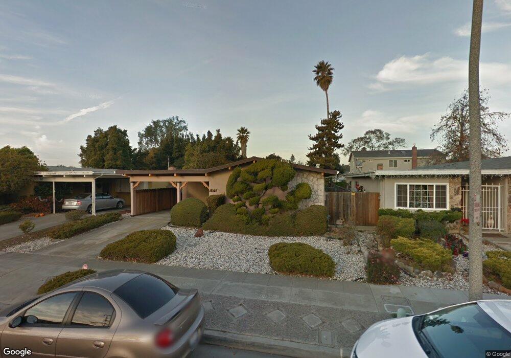
1137 Rosewood Way Alameda, CA 94501
South Shore NeighborhoodEstimated Value: $1,116,936 - $1,318,000
3
Beds
2
Baths
1,246
Sq Ft
$959/Sq Ft
Est. Value
About This Home
This home is located at 1137 Rosewood Way, Alameda, CA 94501 and is currently estimated at $1,194,984, approximately $959 per square foot. 1137 Rosewood Way is a home located in Alameda County with nearby schools including William G. Paden Elementary School, Will C. Wood Middle School, and Encinal Junior/Senior High.
Ownership History
Date
Name
Owned For
Owner Type
Purchase Details
Closed on
Mar 9, 1994
Sold by
Pfeiffer Adele F and Willimas Kent B
Bought by
Rollins James C and Holmes Rollins Gyvonnie R
Current Estimated Value
Home Financials for this Owner
Home Financials are based on the most recent Mortgage that was taken out on this home.
Original Mortgage
$201,850
Interest Rate
7%
Create a Home Valuation Report for This Property
The Home Valuation Report is an in-depth analysis detailing your home's value as well as a comparison with similar homes in the area
Home Values in the Area
Average Home Value in this Area
Purchase History
| Date | Buyer | Sale Price | Title Company |
|---|---|---|---|
| Rollins James C | $212,500 | First American Title Grnty C |
Source: Public Records
Mortgage History
| Date | Status | Borrower | Loan Amount |
|---|---|---|---|
| Previous Owner | Rollins James C | $201,850 |
Source: Public Records
Tax History Compared to Growth
Tax History
| Year | Tax Paid | Tax Assessment Tax Assessment Total Assessment is a certain percentage of the fair market value that is determined by local assessors to be the total taxable value of land and additions on the property. | Land | Improvement |
|---|---|---|---|---|
| 2025 | $6,219 | $361,164 | $108,434 | $252,730 |
| 2024 | $6,219 | $354,083 | $106,308 | $247,775 |
| 2023 | $6,004 | $347,141 | $104,224 | $242,917 |
| 2022 | $5,878 | $340,334 | $102,180 | $238,154 |
| 2021 | $5,746 | $333,662 | $100,177 | $233,485 |
| 2020 | $5,678 | $330,241 | $99,150 | $231,091 |
| 2019 | $5,246 | $323,766 | $97,206 | $226,560 |
| 2018 | $5,123 | $317,419 | $95,300 | $222,119 |
| 2017 | $4,912 | $311,197 | $93,432 | $217,765 |
| 2016 | $4,905 | $305,096 | $91,600 | $213,496 |
| 2015 | $4,885 | $300,515 | $90,225 | $210,290 |
| 2014 | $4,687 | $294,629 | $88,458 | $206,171 |
Source: Public Records
Map
Nearby Homes
- 955 Shorepoint Ct Unit 110
- 955 Shorepoint Ct Unit 200
- 404 Coral Reef Rd
- 965 Shorepoint Ct
- 950 Shorepoint Ct Unit 100
- 1001 Shoreline Dr Unit 301
- 933 Shoreline Dr Unit 203
- 608 Fortress Isle
- 325 Kitty Hawk Rd Unit 207
- 325 Kitty Hawk Rd Unit 304
- 901 San Antonio Ave
- 1220 9th St
- 1203 Benton St
- 1941 Franciscan Way
- 1301 9th St
- 610 Grand St
- 1812 San Antonio Ave
- 2031 Otis Dr Unit H
- 1059 Santa Clara Ave
- 1512 Mozart St
- 1141 Rosewood Way
- 1133 Rosewood Way
- 1129 Rosewood Way
- 1136 Otis Dr
- 1130 Otis Dr
- 1142 Otis Dr
- 1149 Rosewood Way
- 1125 Rosewood Way
- 1124 Otis Dr
- 1148 Otis Dr
- 1136 Rosewood Way
- 1132 Rosewood Way
- 1140 Rosewood Way
- 1128 Rosewood Way
- 1144 Rosewood Way
- 1118 Otis Dr
- 1153 Rosewood Way
- 1121 Rosewood Way
- 1154 Otis Dr
- 1124 Rosewood Way