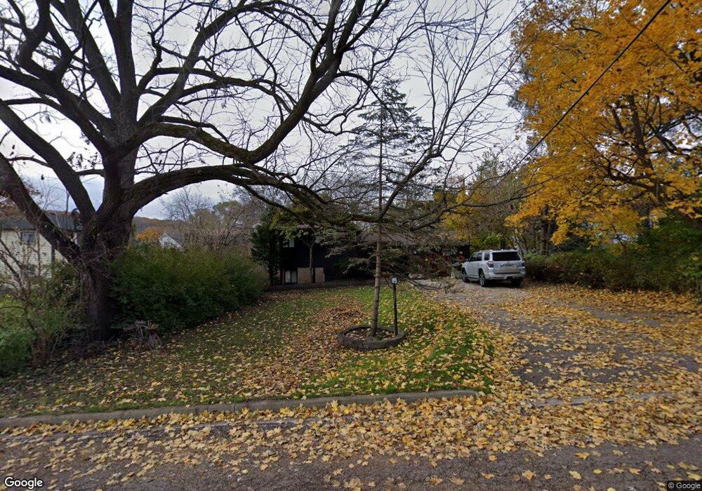
114 Deerpath Rd Algonquin, IL 60102
Merrill Algonquin Hills NeighborhoodEstimated Value: $296,000 - $319,000
2
Beds
2
Baths
1,254
Sq Ft
$245/Sq Ft
Est. Value
About This Home
This home is located at 114 Deerpath Rd, Algonquin, IL 60102 and is currently estimated at $306,852, approximately $244 per square foot. 114 Deerpath Rd is a home located in McHenry County with nearby schools including Eastview Elementary School, Algonquin Middle School, and Dundee-Crown High School.
Ownership History
Date
Name
Owned For
Owner Type
Purchase Details
Closed on
Oct 20, 2000
Sold by
Swider Edward J and Swider Jacqueline T
Bought by
Olsen Brian D
Current Estimated Value
Home Financials for this Owner
Home Financials are based on the most recent Mortgage that was taken out on this home.
Original Mortgage
$143,916
Outstanding Balance
$52,409
Interest Rate
7.9%
Mortgage Type
FHA
Estimated Equity
$254,443
Create a Home Valuation Report for This Property
The Home Valuation Report is an in-depth analysis detailing your home's value as well as a comparison with similar homes in the area
Home Values in the Area
Average Home Value in this Area
Purchase History
| Date | Buyer | Sale Price | Title Company |
|---|---|---|---|
| Olsen Brian D | $144,900 | -- |
Source: Public Records
Mortgage History
| Date | Status | Borrower | Loan Amount |
|---|---|---|---|
| Open | Olsen Brian D | $143,916 |
Source: Public Records
Tax History
| Year | Tax Paid | Tax Assessment Tax Assessment Total Assessment is a certain percentage of the fair market value that is determined by local assessors to be the total taxable value of land and additions on the property. | Land | Improvement |
|---|---|---|---|---|
| 2024 | $5,692 | $80,759 | $21,274 | $59,485 |
| 2023 | $5,377 | $72,229 | $19,027 | $53,202 |
| 2022 | $4,932 | $63,511 | $20,878 | $42,633 |
| 2021 | $4,718 | $59,168 | $19,450 | $39,718 |
| 2020 | $4,586 | $57,073 | $18,761 | $38,312 |
| 2019 | $4,465 | $54,626 | $17,957 | $36,669 |
| 2018 | $4,238 | $50,462 | $16,588 | $33,874 |
| 2017 | $4,136 | $47,538 | $15,627 | $31,911 |
| 2016 | $4,058 | $44,587 | $14,657 | $29,930 |
| 2013 | -- | $46,279 | $13,673 | $32,606 |
Source: Public Records
Map
Nearby Homes
- 1439 Lowe Dr
- 1302 Cary Rd
- 9 Echowood Dr
- 1625 Powder Horn Dr
- lot 021 Route 31 Hwy
- 1730 Tanglewood Dr
- 953 Old Oak Cir
- 1188 E Algonquin Rd
- 600 E Algonquin Rd
- 9416 3rd Ave
- 2110 Aspen Dr
- 0 River Dr N Unit MRD12473279
- 3 Sunset Ln
- 1770 E Algonquin Rd
- 719 Webster St
- Lot 4 b Ryan Pkwy
- 108 La Fox Dr
- 1782 Cumberland Pkwy
- 2 Cumberland Pkwy
- 1923 Ozark Pkwy
- 1562 N Harrison St
- 1551 Seminole Rd
- 1545 Seminole Rd
- 1550 N Harrison St
- 1539 Seminole Rd
- 1544 N Harrison St Unit 2
- 1608 Heather Dr
- 1533 Seminole Rd
- 1609 N Harrison St
- 127 Deerpath Rd
- 1538 N Harrison St
- 10 La Crosse Ct
- 1527 Seminole Rd
- 9 La Crosse Ct
- 1612 Heather Dr
- 1532 N Harrison St
- 1621 Short St
- 1538 Seminole Rd
- 1551 N Harrison St
- 150 Deerpath Rd
Your Personal Tour Guide
Ask me questions while you tour the home.