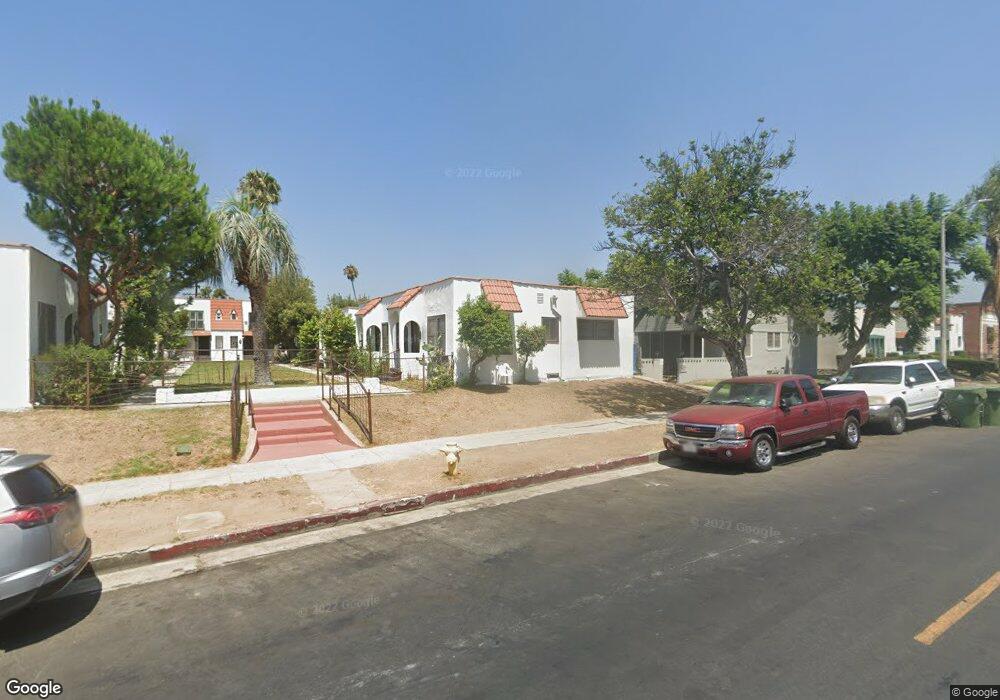
1141 S Norton Ave Los Angeles, CA 90019
Arlington Heights NeighborhoodEstimated Value: $2,124,437 - $2,612,000
--
Bed
16
Baths
9,756
Sq Ft
$243/Sq Ft
Est. Value
About This Home
This home is located at 1141 S Norton Ave, Los Angeles, CA 90019 and is currently estimated at $2,368,219, approximately $242 per square foot. 1141 S Norton Ave is a home located in Los Angeles County with nearby schools including Arlington Heights Elementary School, Pio Pico Middle School, and Los Angeles Senior High School.
Ownership History
Date
Name
Owned For
Owner Type
Purchase Details
Closed on
Dec 24, 2020
Sold by
1993 Howell Family Intervivos Trust and Howell Todd R
Bought by
Howell Capital Partners Lp
Current Estimated Value
Purchase Details
Closed on
Dec 21, 2020
Sold by
Frederick H Leeds Intervivos Trust and Leeds Frederick H
Bought by
Fred Leeds Investment Properties Lp
Purchase Details
Closed on
Sep 10, 1999
Sold by
Uwanawich Joe and Uwanawich Mable
Bought by
Leeds Frederick H and Leeds Intervivos T Frederick H
Create a Home Valuation Report for This Property
The Home Valuation Report is an in-depth analysis detailing your home's value as well as a comparison with similar homes in the area
Home Values in the Area
Average Home Value in this Area
Purchase History
| Date | Buyer | Sale Price | Title Company |
|---|---|---|---|
| Howell Capital Partners Lp | -- | Accommodation/Courtesy Recordi | |
| Fred Leeds Investment Properties Lp | -- | Accommodation/Courtesy Recordi | |
| Leeds Frederick H | $450,000 | First American Title Co |
Source: Public Records
Tax History Compared to Growth
Tax History
| Year | Tax Paid | Tax Assessment Tax Assessment Total Assessment is a certain percentage of the fair market value that is determined by local assessors to be the total taxable value of land and additions on the property. | Land | Improvement |
|---|---|---|---|---|
| 2025 | $10,279 | $691,622 | $653,209 | $38,413 |
| 2024 | $10,279 | $678,061 | $640,401 | $37,660 |
| 2023 | $10,121 | $664,767 | $627,845 | $36,922 |
| 2022 | $9,734 | $651,734 | $615,535 | $36,199 |
| 2021 | $9,571 | $638,956 | $603,466 | $35,490 |
| 2020 | $9,642 | $632,406 | $597,279 | $35,127 |
| 2019 | $9,334 | $620,007 | $585,568 | $34,439 |
| 2018 | $8,952 | $607,851 | $574,087 | $33,764 |
| 2016 | $8,455 | $584,249 | $551,796 | $32,453 |
| 2015 | $8,352 | $575,474 | $543,508 | $31,966 |
| 2014 | $8,195 | $564,202 | $532,862 | $31,340 |
Source: Public Records
Map
Nearby Homes
- 1153 S Bronson Ave
- 1215 5th Ave
- 1121 5th Ave
- 1250 5th Ave
- 1183 Crenshaw Blvd
- 1187 Crenshaw Blvd Unit 1-8
- 1046 S Norton Ave
- 1235 3rd Ave
- 1125 3rd Ave
- 1206 3rd Ave
- 3714 W Pico Blvd
- 1152 S Windsor Blvd
- 1053 S Victoria Ave
- 1047 S Victoria Ave
- 1320 Crenshaw Blvd
- 1130 Westchester Place
- 1250 S Windsor Blvd
- 1417 S Norton Ave
- 3425 W 15th St
- 1406 3rd Ave
- 1135 S Norton Ave
- 1159 S Norton Ave
- 1123 S Norton Ave
- 1164 S Bronson Ave
- 1160 S Bronson Ave Unit 4
- 1160 S Bronson Ave
- 1121 S Norton Ave
- 1121 S Norton Ave Unit 110
- 1121 S Norton Ave Unit 106A
- 1162 S Bronson Ave
- 1170 S Bronson Ave
- 1152 S Bronson Ave
- 1152 S Bronson Ave Unit 1154
- 1152 S Bronson Ave Unit 1152
- 1152 S Bronson Ave Unit 6
- 1156 Bronson Ave
- 1154 S Bronson Ave
- 1176 S Bronson Ave
- 1152 S Bronson Ave Unit 6
- 1152 S Bronson Ave