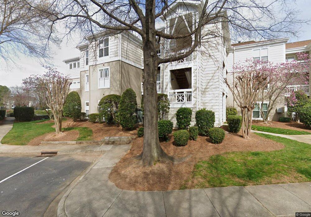
1141 Torrence Cir Davidson, NC 28036
Estimated Value: $614,000 - $642,000
3
Beds
2
Baths
1,481
Sq Ft
$425/Sq Ft
Est. Value
About This Home
This home is located at 1141 Torrence Cir, Davidson, NC 28036 and is currently estimated at $629,086, approximately $424 per square foot. 1141 Torrence Cir is a home located in Mecklenburg County with nearby schools including Davidson Elementary School, William Amos Hough High School, and Davidson Day School.
Ownership History
Date
Name
Owned For
Owner Type
Purchase Details
Closed on
Mar 18, 2002
Sold by
Owens William T and Fleming Amy E
Bought by
The Cfct Family Ltd Partnership
Current Estimated Value
Purchase Details
Closed on
Mar 24, 1999
Sold by
Whitener Rader Charles and Whitener Rebecca H
Bought by
Owens William T and Fleming Amy E
Home Financials for this Owner
Home Financials are based on the most recent Mortgage that was taken out on this home.
Original Mortgage
$115,000
Interest Rate
6.74%
Mortgage Type
Purchase Money Mortgage
Create a Home Valuation Report for This Property
The Home Valuation Report is an in-depth analysis detailing your home's value as well as a comparison with similar homes in the area
Home Values in the Area
Average Home Value in this Area
Purchase History
| Date | Buyer | Sale Price | Title Company |
|---|---|---|---|
| The Cfct Family Ltd Partnership | -- | -- | |
| Owens William T | $172,000 | -- |
Source: Public Records
Mortgage History
| Date | Status | Borrower | Loan Amount |
|---|---|---|---|
| Previous Owner | Owens William T | $115,000 |
Source: Public Records
Tax History
| Year | Tax Paid | Tax Assessment Tax Assessment Total Assessment is a certain percentage of the fair market value that is determined by local assessors to be the total taxable value of land and additions on the property. | Land | Improvement |
|---|---|---|---|---|
| 2025 | $3,669 | $483,120 | -- | $483,120 |
| 2024 | $3,669 | $483,120 | -- | $483,120 |
| 2023 | $3,669 | $483,120 | -- | $483,120 |
| 2022 | $2,859 | $299,300 | $0 | $299,300 |
| 2021 | $2,814 | $299,300 | $0 | $299,300 |
| 2020 | $2,754 | $299,300 | $0 | $299,300 |
| 2019 | $2,808 | $299,300 | $0 | $299,300 |
| 2018 | $2,676 | $220,600 | $70,000 | $150,600 |
| 2017 | $2,656 | $220,600 | $70,000 | $150,600 |
| 2016 | $2,652 | $220,600 | $70,000 | $150,600 |
| 2015 | $2,649 | $220,600 | $70,000 | $150,600 |
| 2014 | $2,647 | $241,600 | $91,000 | $150,600 |
Source: Public Records
Map
Nearby Homes
- 1113 Torrence Cir Unit 61
- 1125 Torrence Cir Unit 67
- 1018 Southwest Dr
- 854 Southwest Dr Unit 54
- 754 Southwest Dr Unit 5
- 753 Southwest Dr Unit 4
- 633 Portside Dr
- 345 Northwest Dr Unit 45
- 306 Northwest Dr
- 367 Northwest Dr Unit 67
- 714 Northeast Dr Unit 44
- 714 Northeast Dr Unit 52
- 930 Jetton St Unit 20
- 921 Northeast Dr Unit 38
- 921 Northeast Dr Unit 29
- 245 Davidson Gateway Dr
- 241 Davidson Gateway Dr
- 233 Davidson Gateway Dr
- 229 Davidson Gateway Dr
- 441 Delburg Mill Aly
- 1142 Torrence Cir Unit 84
- 1137 Torrence Cir Unit 79
- 1138 Torrence Cir Unit 80
- 1139 Torrence Cir Unit 81
- 1135 Torrence Cir Unit 77
- 1135 Torrence Cir Unit 1135
- 1136 Torrence Cir Unit 78
- 1131 Torrence Cir
- 1132 Torrence Cir Unit 74
- 1202 Torrence Cir Unit 3
- 1133 Torrence Cir Unit 1133
- 1133 Torrence Cir
- 1133 Torrence Cir
- 1133 Torrence Cir
- 1133 Torrence Cir Unit 75
- 1201 Torrence Cir Unit 2
- 1201 Torrence Cir Unit 2U/F
- 1205 Torrence Cir Unit 6
- 1129 Torrence Cir Unit 71
- 1200 Torrence Cir
Your Personal Tour Guide
Ask me questions while you tour the home.