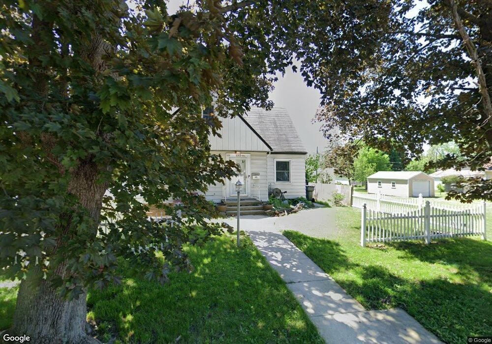
1142 Byron Ave Waterloo, IA 50702
Liberty Park NeighborhoodEstimated Value: $137,000 - $171,000
About This Home
This home is located at 1142 Byron Ave, Waterloo, IA 50702 and is currently estimated at $156,536, approximately $86 per square foot. 1142 Byron Ave is a home located in Black Hawk County with nearby schools including Kittrell Elementary School, Hoover Middle School, and West High School.
Ownership History
We collect this data history from publicly available records. To have your information removed, we recommend requesting removal directly through your county’s website.
Purchase Details
Home Financials for this Owner
Home Financials are based on the most recent Mortgage that was taken out on this home.Purchase Details
Home Financials for this Owner
Home Financials are based on the most recent Mortgage that was taken out on this home.Home Values in the Area
Average Home Value in this Area
Purchase History
We collect this data history from publicly available records. To have your information removed, we recommend requesting removal directly through your county’s website.
| Date | Buyer | Sale Price | Title Company |
|---|---|---|---|
| $102,000 | Title Services Corporation | ||
| $84,000 | None Available |
Mortgage History
We collect this data history from publicly available records. To have your information removed, we recommend requesting removal directly through your county’s website.
| Date | Status | Borrower | Loan Amount |
|---|---|---|---|
| Open | $99,414 | ||
| Previous Owner | $73,150 |
Tax History
We collect this data history from publicly available records. To have your information removed, we recommend requesting removal directly through your county’s website.
| Year | Tax Paid | Tax Assessment Tax Assessment Total Assessment is a certain percentage of the fair market value that is determined by local assessors to be the total taxable value of land and additions on the property. | Land | Improvement |
|---|---|---|---|---|
| 2025 | $2,690 | $146,450 | $16,980 | $129,470 |
| 2024 | $2,690 | $134,180 | $16,980 | $117,200 |
| 2023 | $2,038 | $134,180 | $16,980 | $117,200 |
| 2022 | $1,982 | $101,680 | $16,980 | $84,700 |
| 2021 | $1,924 | $101,680 | $16,980 | $84,700 |
| 2020 | $1,890 | $93,580 | $13,340 | $80,240 |
| 2019 | $1,890 | $93,580 | $13,340 | $80,240 |
| 2018 | $1,892 | $93,580 | $13,340 | $80,240 |
| 2017 | $1,954 | $93,580 | $13,340 | $80,240 |
| 2016 | $1,926 | $93,580 | $13,340 | $80,240 |
| 2015 | $1,926 | $93,580 | $13,340 | $80,240 |
| 2014 | $1,860 | $89,120 | $13,340 | $75,780 |
Map
- 1013 Hawthorne Ave
- 1005 Forest Ave
- 925 Forest Ave
- 922 E Mitchell Ave
- 1228 Lyon Ave
- 1136 Cornwall Ave
- 2012 W 7th St
- 1421 Williston Ave
- 1535 Hawthorne Ave
- 1219 W 7th St
- 611 Johnson St
- 1324 W 6th St
- 1600 Forest Ave
- 2224 W 7th St
- 500 Johnson St
- Lot #10 Denver St
- Lot # 13 Denver St
- Lot #15 Denver St
- Lot #17 Denver St
- 817 Western Ave
- 1145 Glenny Ave
- 620 Hoover St
- 1137 Glenny Ave
- 1131 Glenny Ave
- 1201 Glenny Ave
- 1144 Glenny Ave
- 1150 Glenny Ave
- 1148 Byron Ave
- 1125 Glenny Ave
- 1138 Glenny Ave
- 1202 Glenny Ave
- 1156 Glenny Ave
- 1207 Glenny Ave
- 1134 Glenny Ave
- 1132 Byron Ave
- 1121 Glenny Ave
- 1128 Glenny Ave
- 1213 Glenny Ave
- 1206 Glenny Ave
- 1206 Byron Ave
Ask me questions while you tour the home.