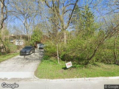
1144 Newport Rd Ann Arbor, MI 48103
Water Hill NeighborhoodEstimated Value: $726,833 - $893,000
4
Beds
3
Baths
2,850
Sq Ft
$284/Sq Ft
Est. Value
About This Home
This home is located at 1144 Newport Rd, Ann Arbor, MI 48103 and is currently estimated at $808,958, approximately $283 per square foot. 1144 Newport Rd is a home located in Washtenaw County with nearby schools including Wines Elementary School, Forsythe Middle School, and Skyline High School.
Ownership History
Date
Name
Owned For
Owner Type
Purchase Details
Closed on
Jun 12, 2008
Sold by
Darwall Stephen and Hester Rosemarie
Bought by
Clarke Neil and Clarke Tracie N
Current Estimated Value
Home Financials for this Owner
Home Financials are based on the most recent Mortgage that was taken out on this home.
Original Mortgage
$312,000
Interest Rate
6.04%
Mortgage Type
Unknown
Purchase Details
Closed on
Sep 20, 2000
Sold by
Malley Lynn R
Bought by
Darwall Stephen
Create a Home Valuation Report for This Property
The Home Valuation Report is an in-depth analysis detailing your home's value as well as a comparison with similar homes in the area
Home Values in the Area
Average Home Value in this Area
Purchase History
| Date | Buyer | Sale Price | Title Company |
|---|---|---|---|
| Clarke Neil | $390,000 | None Available | |
| Darwall Stephen | $410,000 | -- |
Source: Public Records
Mortgage History
| Date | Status | Borrower | Loan Amount |
|---|---|---|---|
| Open | Clarke Neil | $247,855 | |
| Closed | Clarke Neil Ashley | $309,100 | |
| Closed | Clarke Neil | $312,000 |
Source: Public Records
Tax History Compared to Growth
Tax History
| Year | Tax Paid | Tax Assessment Tax Assessment Total Assessment is a certain percentage of the fair market value that is determined by local assessors to be the total taxable value of land and additions on the property. | Land | Improvement |
|---|---|---|---|---|
| 2024 | $9,309 | $282,200 | $0 | $0 |
| 2023 | $8,583 | $265,600 | $0 | $0 |
| 2022 | $9,353 | $274,400 | $0 | $0 |
| 2021 | $9,133 | $262,800 | $0 | $0 |
| 2020 | $8,948 | $257,400 | $0 | $0 |
| 2019 | $8,516 | $222,900 | $222,900 | $0 |
| 2018 | $8,396 | $214,500 | $0 | $0 |
| 2017 | $8,167 | $221,200 | $0 | $0 |
| 2016 | $6,957 | $163,322 | $0 | $0 |
| 2015 | $7,504 | $162,834 | $0 | $0 |
| 2014 | $7,504 | $157,747 | $0 | $0 |
| 2013 | -- | $157,747 | $0 | $0 |
Source: Public Records
Map
Nearby Homes
- 1220 Minglewood Way
- 1610 Saunders Crescent
- 916 Brooks St
- 1815 Cooley Ave
- 911 Miller Ave
- 612 Cressfield Ln
- 1204 Bydding Rd
- 305 Wildwood Ave
- 1405 Harbrooke Ave
- 303 Wildwood Ave
- 603 Gott St
- 1308 Linwood Ave
- 1515 Riverwood Dr Unit 1
- 2305 S Circle Dr
- 508 W Summit St
- 4430 Oriole Ct
- 414 W Summit St
- 2174 Overlook Ct Unit 326
- 1122 Western Dr
- 2108 Newport Rd
- 1144 Newport Rd
- 1080 Newport Rd
- 1139 Pomona Rd
- 1133 Pomona Rd
- 1145 Pomona Rd
- 1210 Newport Rd
- 1127 Pomona Rd
- 1145 Newport Rd
- 1192 Westport Rd
- 1151 Pomona Rd
- 1135 Newport Rd
- 1230 Newport Rd
- 0 Pomona Rd
- 1125 Newport Rd
- 1117 Pomona Rd
- 1159 Pomona Rd
- 1200 Westport Rd
- 1215 Newport Rd
- 1075 Newport Rd
- 1235 Newport Rd
