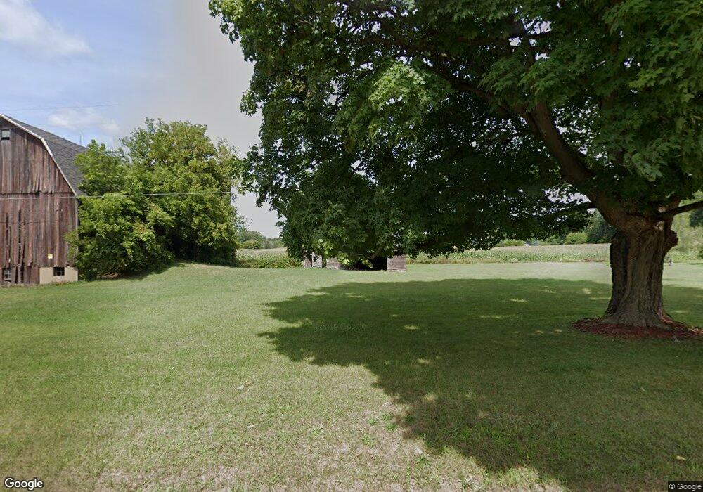
11457 Toles Hwy Eaton Rapids, MI 48827
Estimated Value: $323,000 - $425,150
--
Bed
--
Bath
1,836
Sq Ft
$201/Sq Ft
Est. Value
About This Home
This home is located at 11457 Toles Hwy, Eaton Rapids, MI 48827 and is currently estimated at $369,038, approximately $201 per square foot. 11457 Toles Hwy is a home with nearby schools including Lockwood Elementary School, Greyhound Intermediate School, and Eaton Rapids Middle School.
Ownership History
Date
Name
Owned For
Owner Type
Purchase Details
Closed on
Jun 17, 2022
Sold by
Burley Family Trust and Burley Eldon W
Bought by
Burley Mark and Burley Carolyn
Current Estimated Value
Purchase Details
Closed on
Jan 3, 2019
Sold by
Burley Eldon D and Burley Patricia M
Bought by
Burley Mark and Burley Carolyn
Purchase Details
Closed on
Mar 14, 2018
Sold by
Burley Eldon D and Burley Patricia M
Bought by
Burley Mark and Burley Carolyn
Purchase Details
Closed on
Feb 16, 2018
Sold by
The Eldon D Burley And Patricia M Burley
Bought by
Burley Eldon D and Burley Patricia M
Create a Home Valuation Report for This Property
The Home Valuation Report is an in-depth analysis detailing your home's value as well as a comparison with similar homes in the area
Home Values in the Area
Average Home Value in this Area
Purchase History
| Date | Buyer | Sale Price | Title Company |
|---|---|---|---|
| Burley Mark | -- | None Listed On Document | |
| Burley Mark | -- | None Listed On Document | |
| Burley Mark | $180,000 | Ata National Title Group Llc | |
| Burley Mark | -- | None Available | |
| Burley Eldon D | -- | None Available |
Source: Public Records
Mortgage History
| Date | Status | Borrower | Loan Amount |
|---|---|---|---|
| Closed | Burley Mark | $0 |
Source: Public Records
Tax History Compared to Growth
Tax History
| Year | Tax Paid | Tax Assessment Tax Assessment Total Assessment is a certain percentage of the fair market value that is determined by local assessors to be the total taxable value of land and additions on the property. | Land | Improvement |
|---|---|---|---|---|
| 2025 | $3,119 | $217,200 | $0 | $0 |
| 2024 | $941 | $211,600 | $0 | $0 |
| 2023 | $901 | $178,700 | $0 | $0 |
| 2022 | $2,775 | $165,600 | $0 | $0 |
| 2021 | $2,650 | $156,800 | $0 | $0 |
| 2020 | $2,752 | $148,800 | $0 | $0 |
| 2019 | $2,713 | $149,600 | $0 | $0 |
| 2018 | $2,017 | $154,800 | $109,500 | $45,300 |
| 2017 | $1,907 | $154,800 | $109,500 | $45,300 |
| 2016 | -- | $154,800 | $109,500 | $45,300 |
| 2015 | -- | $154,800 | $109,500 | $45,300 |
| 2014 | -- | $66,060 | $0 | $0 |
| 2013 | -- | $123,200 | $0 | $0 |
Source: Public Records
Map
Nearby Homes
- 2318 Arch Rd
- 1822 S Michigan Rd
- Parcel H Dawn Marie Ln
- Parcel B Dawn Marie Ln
- 1692 S Smith Rd
- 2670 S Michigan Rd
- 6401 Curtice Rd
- 5906 W Barnes Rd
- 710 Feasel St Unit A
- 6042 W Plains Rd
- 5895 Plains Rd
- 411 Crane St
- 757 Island Ct Unit C
- 114 N Center St
- 618 St Andrews Dr
- 618 Saint Andrews Dr
- Integrity 2061 V8.1a Plan at Inverness Homes - Integrity
- Elements 2390 Plan at Inverness Homes
- Elements 1680 Plan at Inverness Homes
- Integrity 1880 Plan at Inverness Homes - Integrity
