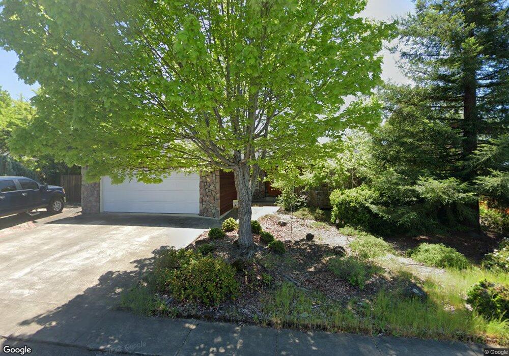
116 Osprey Dr Eagle Point, OR 97524
Estimated Value: $394,966 - $444,000
3
Beds
2
Baths
1,653
Sq Ft
$249/Sq Ft
Est. Value
About This Home
This home is located at 116 Osprey Dr, Eagle Point, OR 97524 and is currently estimated at $411,742, approximately $249 per square foot. 116 Osprey Dr is a home located in Jackson County with nearby schools including Eagle Point Middle School, White Mountain Middle School, and Eagle Point High School.
Ownership History
Date
Name
Owned For
Owner Type
Purchase Details
Closed on
Sep 14, 2004
Sold by
Thurston Lillian and Thurston Arthur
Bought by
Glazier Donald M and Glazier Ruby A
Current Estimated Value
Purchase Details
Closed on
Jul 18, 2003
Sold by
Pitts Robert L and Pitts Gail L
Bought by
Thurston Arthur and Thurston Lillian
Home Financials for this Owner
Home Financials are based on the most recent Mortgage that was taken out on this home.
Original Mortgage
$139,920
Interest Rate
5.18%
Mortgage Type
Purchase Money Mortgage
Create a Home Valuation Report for This Property
The Home Valuation Report is an in-depth analysis detailing your home's value as well as a comparison with similar homes in the area
Home Values in the Area
Average Home Value in this Area
Purchase History
| Date | Buyer | Sale Price | Title Company |
|---|---|---|---|
| Glazier Donald M | $242,000 | Lawyers Title Ins | |
| Thurston Arthur | $174,900 | Lawyers Title Insurance Corp |
Source: Public Records
Mortgage History
| Date | Status | Borrower | Loan Amount |
|---|---|---|---|
| Previous Owner | Thurston Arthur | $139,920 |
Source: Public Records
Tax History
| Year | Tax Paid | Tax Assessment Tax Assessment Total Assessment is a certain percentage of the fair market value that is determined by local assessors to be the total taxable value of land and additions on the property. | Land | Improvement |
|---|---|---|---|---|
| 2026 | $2,755 | $202,460 | -- | -- |
| 2025 | $2,690 | $196,570 | $60,730 | $135,840 |
| 2024 | $2,690 | $190,850 | $58,960 | $131,890 |
| 2023 | $2,599 | $185,300 | $57,250 | $128,050 |
| 2022 | $2,528 | $185,300 | $57,250 | $128,050 |
| 2021 | $2,453 | $179,910 | $55,590 | $124,320 |
| 2020 | $2,606 | $174,670 | $53,970 | $120,700 |
| 2019 | $2,566 | $164,660 | $50,890 | $113,770 |
| 2018 | $2,517 | $159,870 | $49,410 | $110,460 |
| 2017 | $2,456 | $159,870 | $49,410 | $110,460 |
| 2016 | $2,408 | $150,700 | $46,580 | $104,120 |
| 2015 | $2,284 | $150,700 | $46,580 | $104,120 |
| 2014 | $2,059 | $134,190 | $79,950 | $54,240 |
Source: Public Records
Map
Nearby Homes
- 74 Eagle View Dr
- 1043 Arrowhead Trail
- 997 Arrowhead Trail
- 995 Pumpkin Ridge
- 421 Stevens Rd Unit 20
- 421 Stevens Rd Unit 14
- 421 Stevens Rd Unit 52
- 988 Pumpkin Ridge
- 936 Arrowhead Trail
- 279 Robert Trent Jones Blvd
- 964 Pumpkin Ridge
- 131 Bellerive Dr
- 1151 Arrowhead Trail
- 218 Cambridge Terrace
- 1050 Azure Way
- 888 Arrowhead Trail
- 21 Cerulean Terrace
- 869 St Andrews Way
- 1129 Pumpkin Unit 319
- 1140 Pumpkin Ridge Unit 336
- 110 Osprey Dr
- 128 Osprey Dr
- 1027 Arrowhead Trail
- 1021 Arrowhead Trail
- 1031 Arrowhead Trail
- 113 Osprey Dr
- 104 Osprey Dr
- 119 Osprey Dr
- 107 Osprey Dr
- 1015 Arrowhead Trail
- 1037 Arrowhead Trail
- 101 Osprey Dr
- 206 Eagle View Dr
- 92 Osprey Dr
- 19 Kingfisher Ct
- 1009 Arrowhead Trail
- 148 Eagle View Dr
- 22 Kingfisher Ct
- 140 Eagle View Dr
- 16 Blue Heron Ct
Your Personal Tour Guide
Ask me questions while you tour the home.