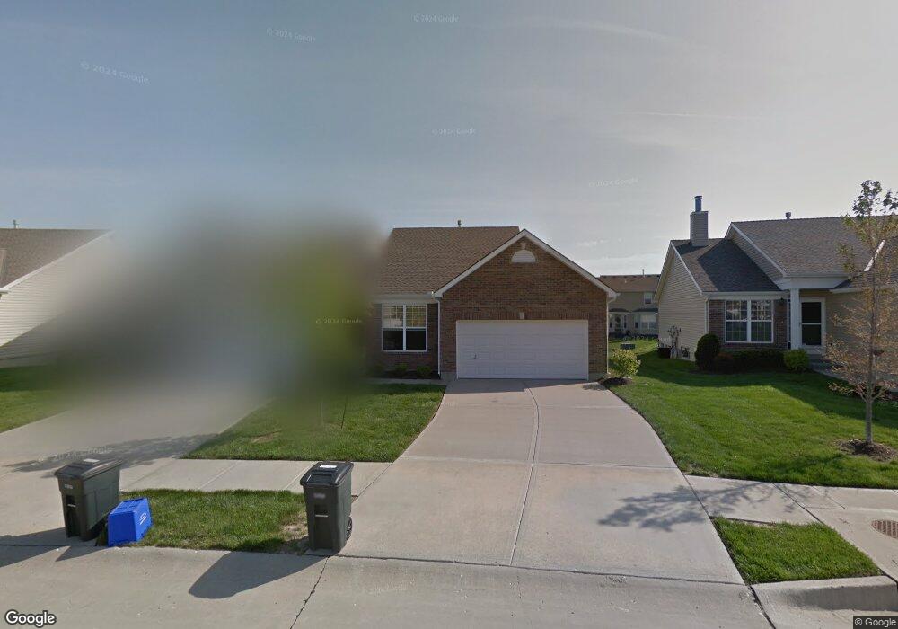
1167 SW Arborfair Dr Lees Summit, MO 64082
Estimated Value: $246,000 - $292,000
2
Beds
2
Baths
996
Sq Ft
$272/Sq Ft
Est. Value
About This Home
This home is located at 1167 SW Arborfair Dr, Lees Summit, MO 64082 and is currently estimated at $270,655, approximately $271 per square foot. 1167 SW Arborfair Dr is a home with nearby schools including Summit Pointe Elementary School, Summit Lakes Middle School, and Lee's Summit West High School.
Ownership History
Date
Name
Owned For
Owner Type
Purchase Details
Closed on
Jul 30, 2007
Sold by
Mcbride & Son Homes Kansas City Llc
Bought by
Curtis Thelma J
Current Estimated Value
Home Financials for this Owner
Home Financials are based on the most recent Mortgage that was taken out on this home.
Original Mortgage
$68,000
Outstanding Balance
$42,966
Interest Rate
6.71%
Mortgage Type
New Conventional
Estimated Equity
$227,689
Create a Home Valuation Report for This Property
The Home Valuation Report is an in-depth analysis detailing your home's value as well as a comparison with similar homes in the area
Home Values in the Area
Average Home Value in this Area
Purchase History
| Date | Buyer | Sale Price | Title Company |
|---|---|---|---|
| Curtis Thelma J | -- | None Available |
Source: Public Records
Mortgage History
| Date | Status | Borrower | Loan Amount |
|---|---|---|---|
| Open | Curtis Thelma J | $68,000 |
Source: Public Records
Tax History Compared to Growth
Tax History
| Year | Tax Paid | Tax Assessment Tax Assessment Total Assessment is a certain percentage of the fair market value that is determined by local assessors to be the total taxable value of land and additions on the property. | Land | Improvement |
|---|---|---|---|---|
| 2025 | $3,094 | $39,952 | $10,610 | $29,342 |
| 2024 | $3,072 | $42,851 | $4,606 | $38,245 |
| 2023 | $3,072 | $42,851 | $6,118 | $36,733 |
| 2022 | $2,439 | $30,210 | $3,620 | $26,590 |
| 2021 | $2,489 | $30,210 | $3,620 | $26,590 |
| 2020 | $2,212 | $26,584 | $3,620 | $22,964 |
| 2019 | $2,151 | $26,584 | $3,620 | $22,964 |
| 2018 | $1,763,772 | $26,114 | $2,546 | $23,568 |
| 2017 | $2,243 | $26,114 | $2,546 | $23,568 |
| 2016 | $2,243 | $25,460 | $4,655 | $20,805 |
| 2014 | $2,061 | $22,925 | $4,655 | $18,270 |
Source: Public Records
Map
Nearby Homes
- 1128 SW Arbormill Terrace
- 1222 SW Arbor Park Dr
- 1100 SW Arborfair Dr
- 1912 SW Hightown Dr
- Vacant Lot 3 - SW M-150 Hwy
- 1009 SW Arborfair Dr
- 1069 SW Arborway Dr
- Delano Plan at Pryor Ridge
- Fairfield Expanded Plan at Pryor Ridge
- Glenwood Plan at Pryor Ridge
- Windsor Plan at Pryor Ridge
- Opus II Plan at Pryor Ridge
- Danbury Plan at Pryor Ridge
- Inglenook Plan at Pryor Ridge
- Sonoma Plan at Pryor Ridge
- Calistoga Plan at Pryor Ridge
- Fairfield Plan at Pryor Ridge
- Monterey Plan at Pryor Ridge
- Bristol Plan at Pryor Ridge
- 4001 SW Mondavi Dr
- 1165 SW Arborfair Dr
- 1179 SW Arborfair Dr
- 1161 SW Arborfair Dr
- 1181 SW Arborfair Dr
- 1159 SW Arborfair Dr
- 1172 SW Arbormill Terrace
- 1170 SW Arbormill Terrace
- 1164 SW Arborfair Dr
- 1162 SW Arborfair Dr
- 1166 SW Arbormill Terrace
- 1201 SW Arborfair Dr
- 1180 SW Arbormill Terrace
- 1178 SW Arborfair Dr
- 1144 SW Arborfair Dr
- 1147 SW Arborfair Dr
- 1182 SW Arbormill Terrace
- 1154 SW Arbormill Terrace
- 1203 SW Arborfair Dr
- 1142 SW Arborfair Dr
- 1145 SW Arborfair Dr