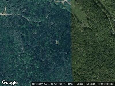
117 Clarkwright Rd Huntington, MA 01050
Estimated Value: $287,000 - $319,000
3
Beds
2
Baths
1,248
Sq Ft
$243/Sq Ft
Est. Value
About This Home
This home is located at 117 Clarkwright Rd, Huntington, MA 01050 and is currently estimated at $303,743, approximately $243 per square foot. 117 Clarkwright Rd is a home with nearby schools including Gateway Regional High School.
Ownership History
Date
Name
Owned For
Owner Type
Purchase Details
Closed on
Sep 3, 2020
Sold by
Albee Keith A and Albee Tina M
Bought by
Albee Keith A and Albee Tina M
Current Estimated Value
Purchase Details
Closed on
Nov 30, 2016
Sold by
Slipski Thomas and Slipski Nancy
Bought by
Albee Keith A and Forsman Tina M
Home Financials for this Owner
Home Financials are based on the most recent Mortgage that was taken out on this home.
Original Mortgage
$171,830
Interest Rate
3.52%
Mortgage Type
FHA
Create a Home Valuation Report for This Property
The Home Valuation Report is an in-depth analysis detailing your home's value as well as a comparison with similar homes in the area
Home Values in the Area
Average Home Value in this Area
Purchase History
| Date | Buyer | Sale Price | Title Company |
|---|---|---|---|
| Albee Keith A | -- | None Available | |
| Albee Keith A | $175,000 | -- |
Source: Public Records
Mortgage History
| Date | Status | Borrower | Loan Amount |
|---|---|---|---|
| Previous Owner | Albee Keith A | $171,830 |
Source: Public Records
Tax History Compared to Growth
Tax History
| Year | Tax Paid | Tax Assessment Tax Assessment Total Assessment is a certain percentage of the fair market value that is determined by local assessors to be the total taxable value of land and additions on the property. | Land | Improvement |
|---|---|---|---|---|
| 2025 | $4,016 | $220,200 | $44,000 | $176,200 |
| 2024 | $4,041 | $203,700 | $44,500 | $159,200 |
| 2023 | $3,371 | $203,700 | $44,500 | $159,200 |
| 2022 | $3,476 | $195,400 | $44,500 | $150,900 |
| 2021 | $3,374 | $190,600 | $44,500 | $146,100 |
| 2020 | $3,435 | $187,300 | $44,500 | $142,800 |
| 2019 | $3,375 | $187,300 | $44,500 | $142,800 |
| 2017 | $3,247 | $184,200 | $44,500 | $139,700 |
| 2016 | $3,270 | $183,200 | $44,500 | $138,700 |
| 2015 | $3,195 | $183,200 | $44,500 | $138,700 |
| 2014 | $3,228 | $185,300 | $46,600 | $138,700 |
Source: Public Records
Map
Nearby Homes
- 120 E River Rd
- Lot 0 E River Rd
- 0 Skyline Trail Lot 24
- 613 Skyline Trail
- 4 Bryan Rd
- 0 Johnnycake Hill Rd Unit 73378321
- 0 Johnny Cake Hill Rd Unit 246420
- 57 Fairman Rd
- 520 Skyline Trail
- lot 13 Skyline Trail
- lot 61 Skyline Trail
- lot 3 Skyline Trail
- 100 Town Hill Rd
- 444 Huntington Rd
- 71 W Hill Rd
- 116 Skyline Trail
- lot 2 Skyline Trail
- 300 Middlefield Rd
- 196 Huntington Rd
- 398 Old Post Rd
- 117 Clarkwright Rd
- 123 Clarkwright Rd
- 117 Clark Wright Rd
- 124 Clark Wright Rd
- 123 Clark Wright Rd
- 185 E River Rd
- 126 Clark Wright Rd
- 188 River Rd
- 0 E River Rd
- 191 E River Rd
- 165 E River Rd
- 17 Bailey Rd
- 576 E River Rd
- 155 E River Rd
- 108 E River Rd
- 500 E River Rd
- 430 E River Rd
- 430 E River Rd
- 149 E River Rd
- 334 E River Rd
