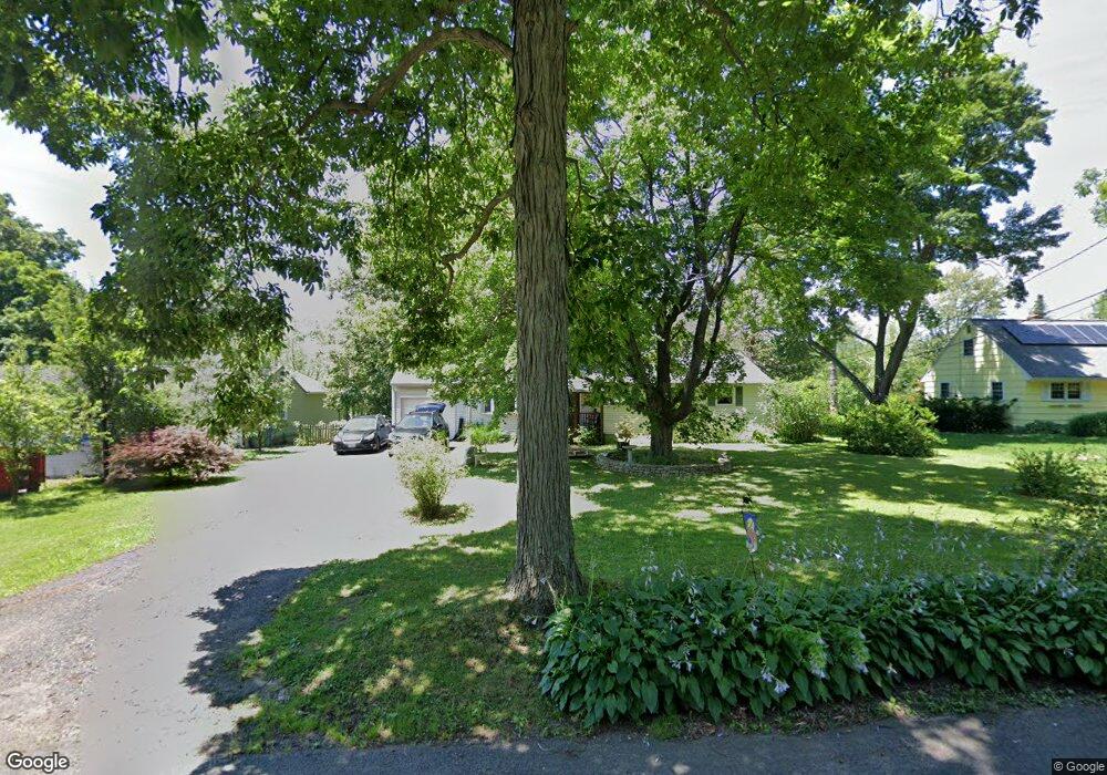
117 Tuttle Rd Durham, CT 06422
Estimated Value: $364,964 - $439,000
3
Beds
1
Bath
1,188
Sq Ft
$338/Sq Ft
Est. Value
About This Home
This home is located at 117 Tuttle Rd, Durham, CT 06422 and is currently estimated at $401,991, approximately $338 per square foot. 117 Tuttle Rd is a home located in Middlesex County with nearby schools including Frank Ward Strong School, Coginchaug Regional High School, and Yeshiva Gedolah of Waterbury- Mesivta Durham.
Ownership History
Date
Name
Owned For
Owner Type
Purchase Details
Closed on
Dec 21, 1990
Sold by
Stickles George E
Bought by
Harlow Susan A
Current Estimated Value
Home Financials for this Owner
Home Financials are based on the most recent Mortgage that was taken out on this home.
Original Mortgage
$119,000
Interest Rate
10.02%
Create a Home Valuation Report for This Property
The Home Valuation Report is an in-depth analysis detailing your home's value as well as a comparison with similar homes in the area
Home Values in the Area
Average Home Value in this Area
Purchase History
| Date | Buyer | Sale Price | Title Company |
|---|---|---|---|
| Harlow Susan A | $140,000 | -- |
Source: Public Records
Mortgage History
| Date | Status | Borrower | Loan Amount |
|---|---|---|---|
| Closed | Harlow Susan A | $101,827 | |
| Closed | Harlow Susan A | $137,136 | |
| Closed | Harlow Susan A | $119,000 |
Source: Public Records
Tax History
| Year | Tax Paid | Tax Assessment Tax Assessment Total Assessment is a certain percentage of the fair market value that is determined by local assessors to be the total taxable value of land and additions on the property. | Land | Improvement |
|---|---|---|---|---|
| 2025 | $5,682 | $151,970 | $76,200 | $75,770 |
| 2024 | $5,425 | $151,970 | $76,230 | $75,740 |
| 2023 | $5,286 | $151,970 | $76,230 | $75,740 |
| 2022 | $5,254 | $151,970 | $76,230 | $75,740 |
| 2021 | $5,404 | $151,970 | $76,230 | $75,740 |
| 2020 | $4,861 | $135,870 | $71,330 | $64,540 |
| 2019 | $4,876 | $135,870 | $71,330 | $64,540 |
| 2018 | $4,959 | $135,870 | $71,330 | $64,540 |
| 2017 | $5,367 | $135,870 | $71,330 | $64,540 |
| 2016 | $4,798 | $135,870 | $71,330 | $64,540 |
| 2015 | $4,990 | $147,910 | $86,590 | $61,320 |
| 2014 | $4,914 | $147,910 | $86,590 | $61,320 |
Source: Public Records
Map
Nearby Homes
- 147 Tuttle Rd
- 26 Old Wallingford Rd
- 148 & 153 Wallingford Rd
- 280 Tuttle Rd
- 148 Wallingford Rd
- 153 Wallingford Rd
- 0 Dinatale Dr
- 268 Main St
- 89 S End Ave
- 22 R Olde Yankee Way
- 204 Old Blue Hills Rd
- 16 Marie Ln
- 4 Jans Way
- 5 Race Track Hollow
- 18 Talcott Ridge Dr
- 46 Cliffside Dr
- 88 Powder Hill Rd
- 0 Round Hill Lot 17 Rd
- 147 Blue Hills Dr
- 30 Cherry Ridge Rd
Your Personal Tour Guide
Ask me questions while you tour the home.