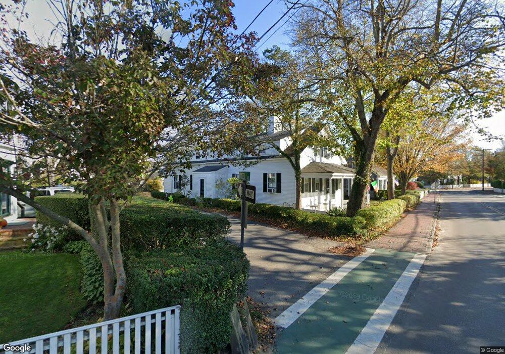
117 Upper Main St Edgartown, MA 02539
Edgartown NeighborhoodEstimated Value: $2,848,000 - $3,561,000
4
Beds
2
Baths
2,000
Sq Ft
$1,624/Sq Ft
Est. Value
About This Home
This home is located at 117 Upper Main St, Edgartown, MA 02539 and is currently estimated at $3,248,547, approximately $1,624 per square foot. 117 Upper Main St is a home located in Dukes County with nearby schools including Edgartown Elementary School and Martha's Vineyard Regional High School.
Ownership History
Date
Name
Owned For
Owner Type
Purchase Details
Closed on
Jun 20, 2019
Sold by
Piazza Sara
Bought by
Sara Piazza T
Current Estimated Value
Purchase Details
Closed on
May 1, 2007
Sold by
Thibodeau Sara Piazza
Bought by
Piazza Sara
Home Financials for this Owner
Home Financials are based on the most recent Mortgage that was taken out on this home.
Original Mortgage
$170,000
Interest Rate
6.18%
Mortgage Type
Purchase Money Mortgage
Create a Home Valuation Report for This Property
The Home Valuation Report is an in-depth analysis detailing your home's value as well as a comparison with similar homes in the area
Home Values in the Area
Average Home Value in this Area
Purchase History
| Date | Buyer | Sale Price | Title Company |
|---|---|---|---|
| Sara Piazza T | -- | -- | |
| Piazza Sara | -- | -- |
Source: Public Records
Mortgage History
| Date | Status | Borrower | Loan Amount |
|---|---|---|---|
| Previous Owner | Piazza Sara | $170,000 |
Source: Public Records
Tax History
| Year | Tax Paid | Tax Assessment Tax Assessment Total Assessment is a certain percentage of the fair market value that is determined by local assessors to be the total taxable value of land and additions on the property. | Land | Improvement |
|---|---|---|---|---|
| 2025 | $7,012 | $2,645,900 | $1,177,900 | $1,468,000 |
| 2024 | $6,173 | $2,420,700 | $1,177,900 | $1,242,800 |
| 2023 | $5,836 | $2,315,700 | $1,136,400 | $1,179,300 |
| 2022 | $5,963 | $1,967,900 | $1,121,900 | $846,000 |
| 2021 | $6,468 | $1,971,800 | $1,125,800 | $846,000 |
| 2020 | $6,021 | $1,797,300 | $1,125,800 | $671,500 |
| 2019 | $6,198 | $1,601,500 | $993,400 | $608,100 |
| 2018 | $5,862 | $1,514,600 | $974,300 | $540,300 |
| 2017 | $4,673 | $1,316,400 | $805,400 | $511,000 |
| 2016 | $5,002 | $1,381,700 | $805,400 | $576,300 |
| 2015 | $4,079 | $1,175,600 | $762,400 | $413,200 |
Source: Public Records
Map
Nearby Homes
- 10 Peases Point Way N
- 99 Cooke St
- 43 Peases Point Way S
- 52 S Summer St
- 32 Norton Orchard Rd
- 69 School St
- 44 Plantingfield Way Unit 2
- 44 Plantingfield Way
- 23 Pinehurst Rd
- 68 N Water St
- 38 Pinehurst Rd
- 114 N Water St
- 117 N Water St
- 5 Louis Field Rd Unit 121.3
- 5 Louis Field Rd
- 35 Mariners Way
- 90 Schoolhouse Rd
- 90 Schoolhouse Rd Unit 14
- 23 Beetle Swamp Rd
- 14 Trapps Pond Rd
- 113 Upper Main St
- 6 Green Ave
- 119 Upper Main St
- 119 Main St
- 111 Upper Main St
- 8 Green Ave
- 9 Green Ave
- 124 Upper Main St
- 128 Main St
- 8 Peases Point Way S
- 127 Upper Main St
- 6 Peases Point Way N
- 11 Green Ave
- 20 Oliver St
- 12 Green Ave
- 5 Peases Point Way
- 5 Peases Point Way S
- 128 Upper Main St
- 14 Peases Point Way S
- 105 Main St
Your Personal Tour Guide
Ask me questions while you tour the home.